Touch Of Snow This Morning; More Wintry Weather On The Way
Some of us are waking up to a bit of snow this morning, although many of our roads, thankfully, are more wet than white across the region. The only issue with this is that temperatures have dropped to the freezing mark in a few communities in central and western MA...so watch out for a patch or two of black ice on any untreated surfaces.
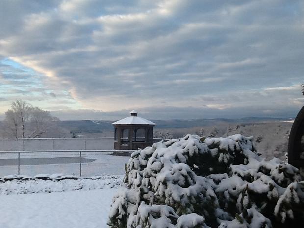
Otherwise, today will feature increasing sunshine with highs in the upper 30s later on this afternoon. Tonight, high pressure builds into the Northeast providing us with mostly clear skies and cold air; lows will drop into the mid 20s in Boston, teens the colder suburbs.
WBZ WEATHER: Current Conditions | Interactive Radar | Weather Blog
This cold air will be a key player in a storm slated to impact us Sunday night into Monday. Sunday itself will be quiet with no weather related issues; clouds will increase and thicken during the day, but we'll be dry with highs in the mid 30s.

Moisture will work in from the south overnight Sunday, starting as a burst of snow for everyone after midnight. As "warmer" air works in aloft, the snow will transition to a period of sleet and freezing rain…with the rain/snow line gradually working from south to north Monday morning to midday. With a wind off the water, the south coast and far eastern MA should changeover fairly quickly. It's tougher to scour out the cold air inland though, so places like north central MA and southern NH will have a longer period of wintry mix.
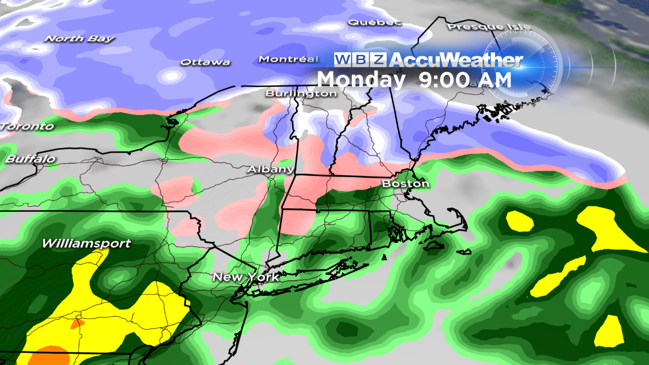
Unfortunately, the bulk of this mess is going to coincide with the Monday morning commute, so be prepared for winter driving conditions and slippery travel.
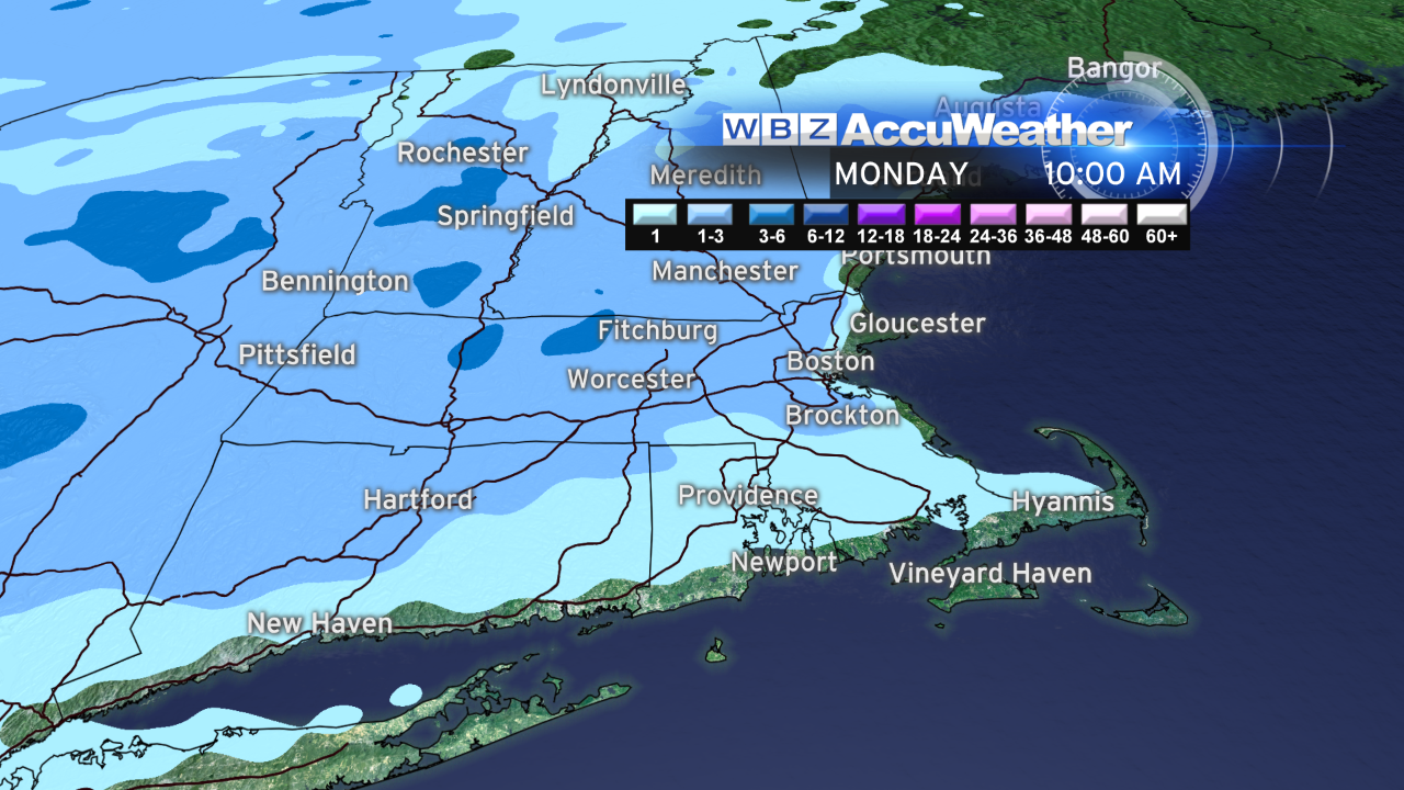
With the onset of the storm still about 36 hours out, it's a bit early to say how much snow will fall…but it looks like 1-3" will be possible, with locally higher amounts in north central MA and southwest NH…and then a coating of ice on top of that.
Barry Burbank will share his thoughts later tonight and I'll be in all day tomorrow with the latest details. I'll also be putting together the iScale forecast for this storm, so look for that information here on the blog tomorrow.
-Danielle