Cold Conclusion To November
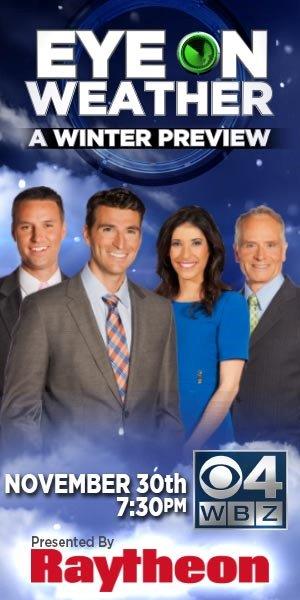 After a balmy, wet Wednesday at 60-64 degrees, the afternoon high temperatures were pretty much cut in half on Thanksgiving Day and today. With a projected very cold night tonight and the high temperatures close to 15 degrees below the average for the last day of the month tomorrow, the mean temperature for November will end up closer to 2 degrees below the average. Last November was colder than average by 2.7 degrees but then December and January both came in warmer than average at +3.7 degrees and + 2.5 degrees respectively. Will that be repeated again this year? Find out the answer to that and how much snow you can expect this winter tomorrow evening at 7:30 pm by watching our "Eye On Weather: A Winter Preview". Coincidentally, I will post my Beyond The Forecast blog of the winter outlook reflecting the forecast of the entire WBZ AccuWeather Team. It will include a simple outlook plus a detailed, technical analysis. Additionally, we will have a live chat from 7:30 to 8:30 pm so that you can ask questions about our outlook or any other thing on the special weather program. Just go to www.cbsboston.com/weather.
As a strong high pressure system shifts right over the region tonight, premium radiational cooling conditions will be created especially father and farther north and west of Boston particularly over western and northern New England where many valley locations will plummet to subzero numbers! Most of the nearby suburbs will dive into the teens with some outlying spots closer to 10 or under. The larger urban centers will be closer to 20 with Boston at 22 and Cape Cod will be milder as an onshore north-northeasterly breeze transports some low clouds and spotty snow showers in from the ocean. Some of those might roll in over portions of the Plymouth County coastline by dawn or so. Most of this action will wane as the ridge moves over southeastern MA tomorrow morning but some patches of low clouds may stray over the coastal plain during the day as high and some mid-level cloudiness arrives from west to east across the area in the afternoon. The predicted high temperature near 32 will be far from the average for November 30 which is 47 degrees.
As a weak upper level disturbance approaches from the southwest later tomorrow night and Sunday, some light precipitation could break out but the air is progged to remain quite dry so nothing substantial is expected but don't be surprised if some light snow and freezing mist breaks out at times followed by a switch to plain drizzle and sprinkles or light showers on Sunday as milder flows in on more of a southerly breeze at 5-15 mph. It should warm up to 42-45 on Sunday with similar highs likely on Monday before turning a bit colder on Tuesday. There is some uncertainty about Tuesday because there is support for a stronger coastal storm. Presently, it appears that the steering currents will propel the bulk of this developing system out over the Atlantic but New England could get sideswiped by some light snow farther north and west of Boston and mainly light rain around the city south with a slight chance of a turn to snow showers in the Boston area before the storm peels out to sea and intensifies into a gale center over the Canadian Maritimes. In its wake, Wednesday will turn out partly to mostly sunny with a gusty wind with highs in the lower 40s.
Travelers returning to their destinations from the long Thanksgiving break will be pleased that cooperative weather will exist across most of the country tomorrow. The only sketchy area will occur across the Pacific Northwest into the northwestern Rockies where some rain showers and some snow in the higher elevations is likely.
Looking ahead to December, on average, Boston's high temperature drops from 46 on the 1st to 38 on the 31st. The low drops from 33 down to 24 from the beginning to the end of the month. The record high for the month is 76 degrees set on the 7th in 1998. The record low for the month is -17 degrees set on the 29th in 1933. The average total precipitation is 3.73" with 6.6" of snow and 52% of the possible sunshine. This December, the Full Cold Moon occurs on the 17th at 4:28 am. The Winter Solstice happens at 12:11 pm on the 21st. The sunrise changes from 6:54 am on the 1st to 7:13 am on the 31st. The sunset starts at 4:12 pm on the 1st, is the earliest at 4:11 pm on the 8th then ends on the 31st at 4:21 pm.
Danielle Niles will post her thoughts in the morning and I will be on duty tomorrow evening posting the winter outlook and answering your questions on the live chat.
Enjoy the rest of the weekend!