The Weekend Looks Like A Washout
BOSTON (CBS) - It certainly is a busy weekend - graduations, ballgames, cookouts... whatever you have planned no doubt you have been monitoring forecasts for the last several days.
Unfortunately, rainfall has been in the forecast for Saturday just about all week long, and today the forecast is not getting any better. In fact we may actually have some flood watches or warnings being issued for Saturday before today is over.
First for the technical stuff: Low pressure is spinning over the Upper Midwest and is going to transfer some of its energy to a secondary low pressure area somewhere near New York City later tonight and early on Saturday. This new storm center will draw upon a long moisture plume coming all the way from the Bahamas - a true tropical connection. This will certainly enhance rainfall amounts over Southern New England and perhaps even spawn an isolated embedded thunderstorm or two.
More bad news…the initial area of low pressure in the Great Lakes is not going to go anywhere fast. It will sit and spin in place through the weekend, causing a sort of log jam in the atmosphere, something we are used to seeing in the winter and early spring, certainly not in June.
Watches & Warnings | Current Conditions | Interactive Radar | Weather Blog | Maps
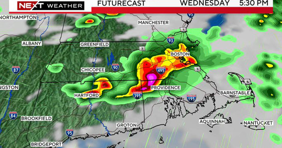
This essentially means that our rainfall on Saturday will progress very slowly through New England and may even get hung up in parts of Eastern Mass. and Southeastern New Hampshire well into Sunday. We will have to watch for a stalling of this band of rain. This could cause very heavy rainfall to persist over the same areas, leading to significant flooding. Many of our weather models are projecting 1-3" of rain in parts of Southern New England Saturday into early Sunday, with the potential for even higher amounts!
Timeline: Rain begins around daybreak on Saturday and becomes heavy during the morning hours. Heavy rain will slowly progress eastward through the afternoon and likely stall somewhere over Eastern Massachusetts Saturday evening. By Sunday morning and midday this heavy rain should be confined to Essex County, Massachusetts and along the coast of New Hampshire and Maine. Areas farther to the southwest (Worcester to Hartford) should see some partial sunshine during Sunday. Clouds and showers will then rotate back into all of Southern New England Sunday afternoon and evening. This stalled-out, cool and wet weather pattern is likely to continue well into next week, no beach days for a while…


