Location, Location, Location
While it won't be nearly as hot as it was yesterday across the region, it will be another warm one in many communities. The big exception is if you live in northeastern MA. A backdoor front will push into Essex County today, accompanied by a wind shift, clouds and falling temperatures. Expect temperatures to peak this morning then fall through the 60s into the 50s of eastern Essex County by midday. If you're on the other side of the front, we rise to around 80 this afternoon! Boston should be right on the edge of the front (oh the joy of forecasting!) – so I think we get sneaky warm, in the mid 70s before falling into the 60s with a wind off the ocean later on.
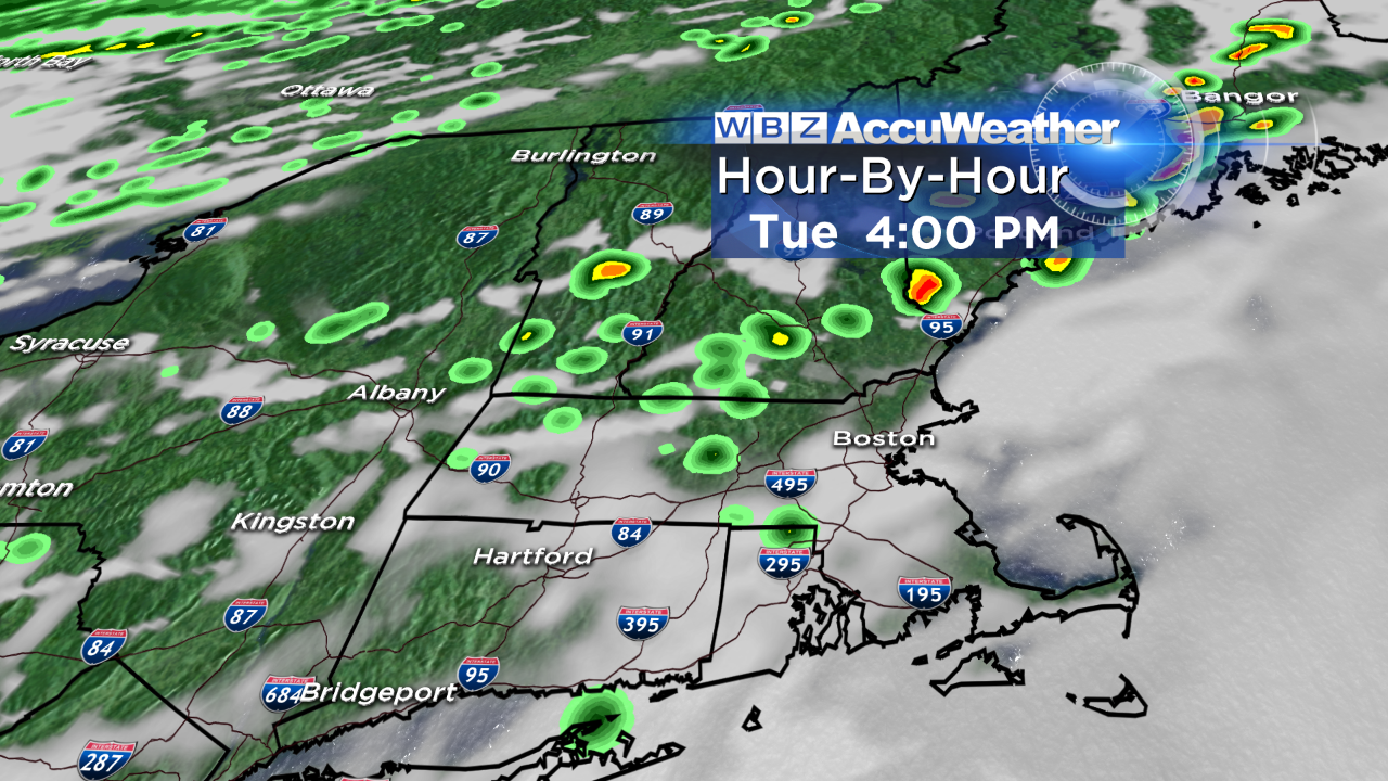
The backdoor front kind of washes out over us tonight, then returns as a warm front tomorrow. We'll be well into the 80s again, except for the immediate south coast/Cape Cod (around 70) with a gusty southwest wind. A cold front will trigger some pop-up showers and thunderstorms late tomorrow afternoon and evening as it slides through, especially along and outside of 495. Keep an eye to the northwest sky tomorrow; a few storms could be a bit on on the stronger side with torrential downpours, brief, gusty wind and lightning. We'll monitor this threat closely.
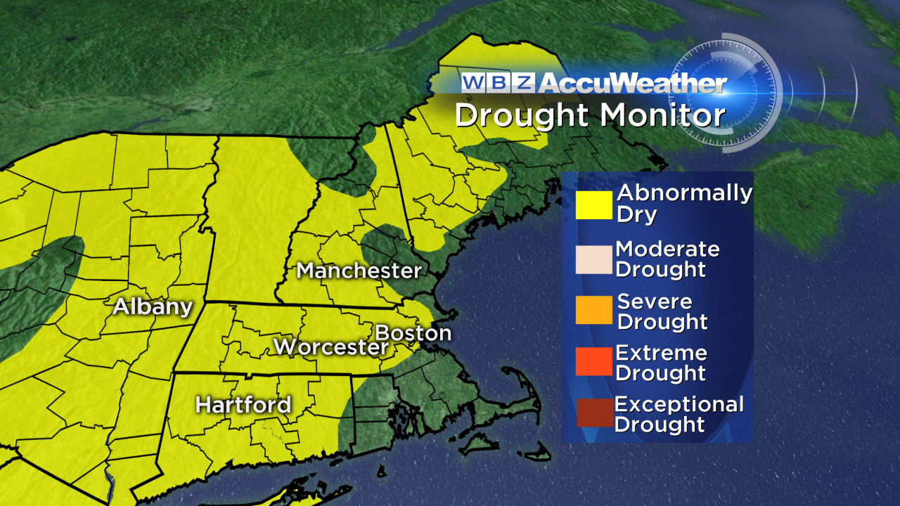
Behind this front, a crisp, dry airmass moves in for midweek. Highs will be at or slightly below normal on Wednesday but the northwest wind may gust to 45 mph, making it feel a bit cooler. Our weather looks fairly tranquil through the end of the week with the next chance of any shower activity holding off until Friday night/Saturday. Our lawns and gardens could certainly use a good soaking! Much of New England is abnormally dry.
Have a wonderful day! - Danielle