Wintry Mix Ushers In More Cold
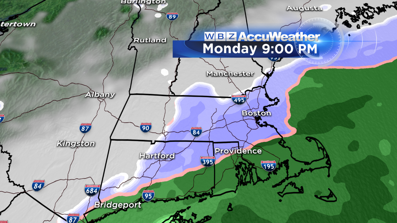
We've been contending with a bit of snow, freezing rain and sleet across parts of southern New England this morning courtesy of a frontal boundary and wave of low pressure approaching the region. Temperatures are slowly on the rise though so I'm anticipating a changeover to plain rain across the interior heading into the afternoon. Nonetheless, until that happens there will be slippery travel in areas north of the MA Pike and outside of 495 especially – so use caution! There will be a coating to 1" of snow in many of these spots with locally higher amounts in northern/central Worcester county (2-3").
As colder air works into the region later this evening, the rain will change back to a burst of snow as the precip exits, so even far eastern MA could see a coating to an inch of snow by midnight. Temps will fall into the teens and 20s tonight so some slick spots and patchy ice will result.
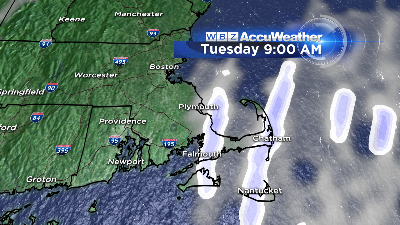
Our highs tomorrow will struggle to climb out of the teens north & west of Boston to low 20s in the city itself…so it'll certainly be a much colder day. The gusty north wind will add a bite to the air and also generate some ocean-effect snow showers and flurries on Cape Cod.
Otherwise no big weather events are slated for the next week…just a gradual moderation in temperatures by the weekend with highs expected to be in the 40s by Sunday. We'll keep you posted on the Patriots forecast!
Danielle