Snow Showers & Few Slick Spots Develop Tonight
Today's weather isn't pleasant by any stretch– but at least it's not as bad as yesterday. The upper level low responsible for our Nor'easter will only gradually lift northward over the next few days. Spokes of energy will pivot around it, keeping clouds and periods of wet weather in the forecast until the end of the week. In other words, keep the umbrella on standby!
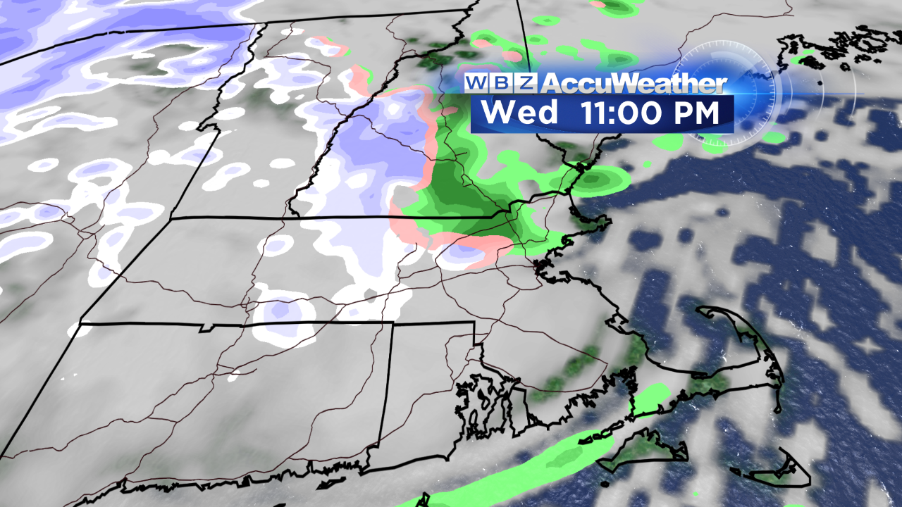
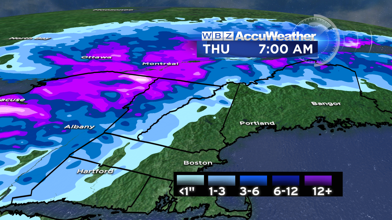
Today will feature drizzle, light rain and scattered showers. With cold air draning around the backside of the low, rain showers will change to snow in western and central New England late this evening and tonight. The mountains of northern New England pick up the most snow over the next 3 days…perfect for snow lovers and winter sports enthusiasts!
Be mindful of temperatures early tomorrow morning…watch the car thermometer closely as many communities will dip to around that magical 32 degree mark. Some slippery spots and icy patches may result, especially on any untreated surfaces, sidewalks, driveways, things of that nature.
We should manage some breaks of sunshine on Friday…even more by Saturday…and more still by Sunday as the upper level low shifts east of the region.
-Danielle
ps - the newest member of our WBZ weather team, Pamela Gardner, has arrived! You'll be able to see her on weekend mornings, some noon shows and filling in on other shifts. Be sure to give her a warm welcome & follow her on Twitter & Facebook.