Flood Watch Posted For Parts Of The Region
Yesterday featured some breaks of sunshine before scattered showers and embedded downpours developed during the afternoon and evening. I don't think we'll be so lucky today. Clouds, showers, drizzle and patchy fog greet you this morning…and will only ramp up in intensity and coverage over the next 12 hours.
In fact, a flood watch has been posted by the National Weather Service for parts of the region. The watch is in effect from this evening until late tomorrow morning; essentially, that's when the heaviest rain is expected and in turn, some localized flooding may result, especially in urban and low lying areas. Do yourself a favor and leave extra time for your commute to work tomorrow morning!
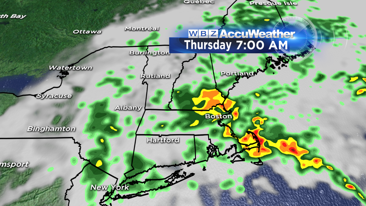
Rainfall totals are still expected to be between 1-2", although some locally higher amounts are possible…especially across northeast MA into southeast NH.
The wind will also ramp up, gusting between 20-30 mph later today, tonight and again tomorrow before gradually subsiding. There may be a few gusts that eclipse 40 mph in heavier downpours tonight into tomorrow morning.

Upper level energy will linger over us on Friday, meaning the threat for showers remains...at least in the morning. That being said, it will be a much drier day overall and a late day break of sunshine (inland) is possible before sunset Friday evening. The weekend features fair and seasonal weather with varying amounts of sun and clouds and a few showers Saturday night. After that? A warming trend! We flirt with 70 by Tuesday.
Stay dry,
Danielle