Quiet Weather Week
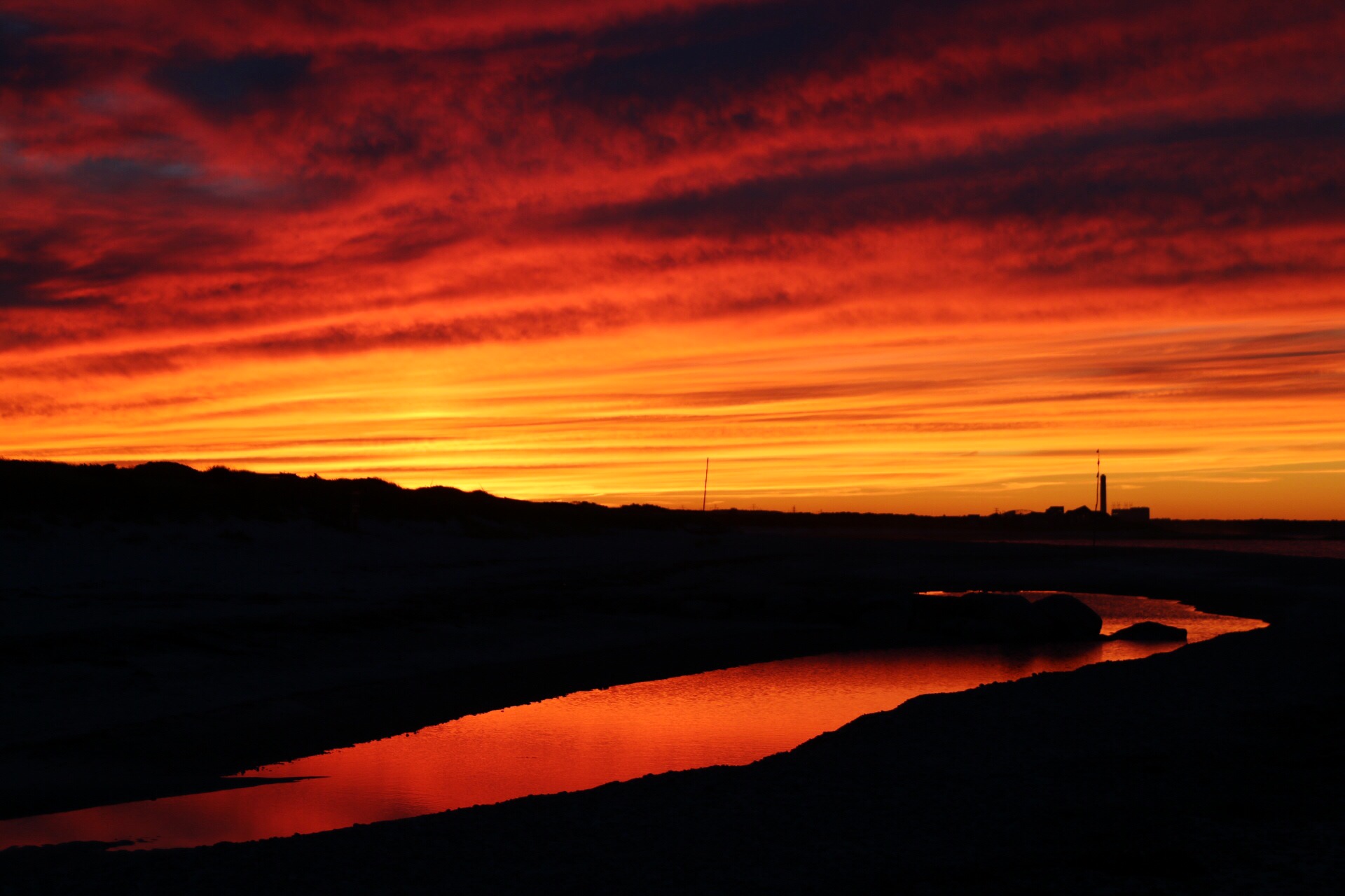
After some breathtaking photos and videos of the Aurora Borealis Friday night, we were treated to another sky spectacle being the stunning sunset yesterday. The arrival of streamers of high cloudiness during the afternoon created a cascade of crazy colors all over the place. The WBZ Weather Team thanks everyone for sending in all of the beautiful photos. We enjoy seeing them and sharing them on social media and our newscasts. You can contribute too at weather@cbsboston.com any time.
With a bubble of high pressure cresting over the region, it was rather nippy last night. This morning's minimum temperatures are dipping into the 40s with 30s from parts of north central MA west and north where some pockets of frost have formed. Sunshine will boost the numbers into the 65-70 range today as the light breeze shifts onshore at the coast.
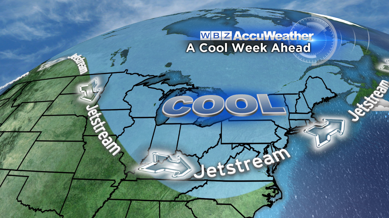
Overall, this third week of September will be cooler than average except for Wednesday when it will be the warmest and most seasonable with highs near 72. After that, a cold front will settle southward across the region late Wednesday night into Thursday as a giant zone of high pressure builds down from eastern Canada. The clockwise flow around the periphery of the high pressure
 center may result in varying amounts of clouds rolling in over mainly southeastern MA Thursday night into early Friday as the cold air streams across the warmer ocean. Meantime, areas north and west of Boston under a clear sky and calm wind will take a dip into the 30s to lower 40s Friday morning and Saturday morning. There will likely be an expanding area out there for touches of frost while that breeze in from the mild Atlantic along with the clouds will maintain warmer conditions in the upper 40s to lower 50s from Plymouth County onto Cape Cod. As the ridge and center of the high pressure system become poised right over the region on Friday, it should be bright and sunny everywhere. The core of the cold air mass will only support temperatures rising to about 60 on Friday followed by a warmup this weekend. With a shifting of the high pressure system southeastward, the surface wind will become southeast then southerly on Saturday and a more southwesterly wind on Sunday. That should produce a climb well into the 70s. The next frontal zone approaching could trigger some showers Sunday afternoon.
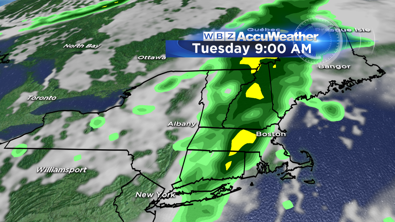 In the meantime, the only interruption to a dry week will be a swath of showers crossing the area Tuesday morning. I am only expecting a 2-3 hour spell of wet weather followed by some sunshine breaking out in the afternoon.
By the way, yesterday I removed my a/c units for this season. We definitely saved money on our electric bills this summer thanks to non-excessive heat and a cooler than average August. Three of Boston's days over 90 degrees occurred in the first week of September with a total of 8 days for the year which is 6 below the average of 14 and that makes it 10 fewer days than last year. While a sprinkling of warm days are probable going forward, the chance of hot weather decreases significantly.
You can watch Danielle Niles deliver her weathercasts periodically on WBZ News through 9 o'clock this morning and Eric Fisher will do the same on the evening shows. Make it a great week!