Stormy Midweek
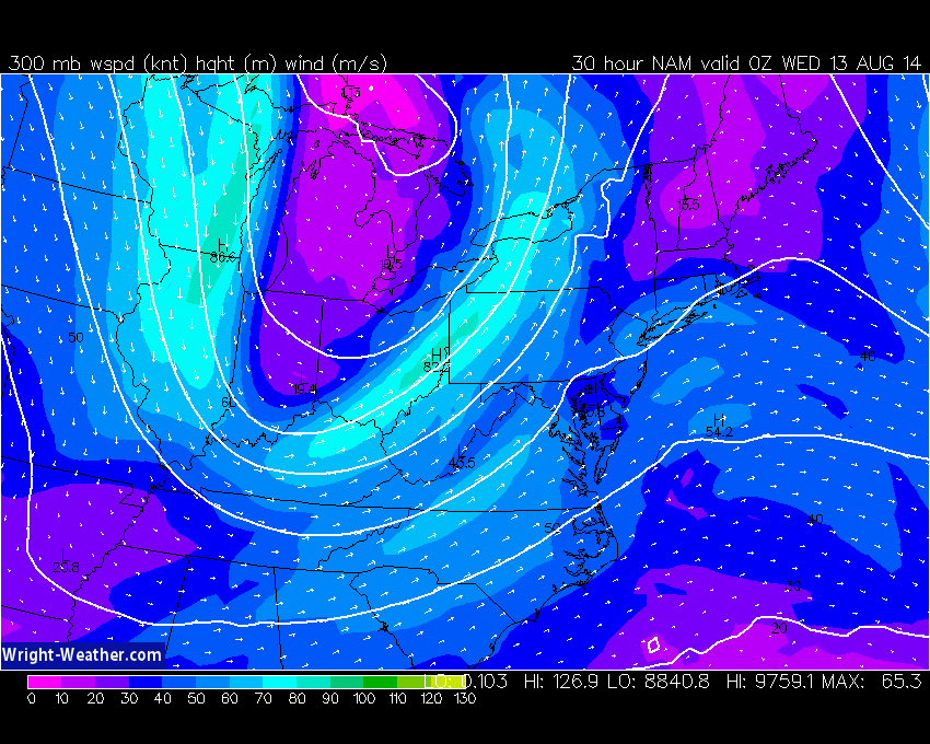
We are wrapping up a couple of beauties..now as we look ahead, the weather will be headed downhill. An area of low pressure in the Great Lakes will throw a strong front at us Wednesday. The system has a lot of upper level energy, driven by a strong jetstream for this time of year. The result will be a heavy rain event for most of New England. A ribbon moisture will shoot up the East Coast out ahead of the front and will be the source for heavy downpours which will begin breaking out Wednesday morning. A solid line of soaking rain will set up along the front and will slowly work across the State by early afternoon. The primary concern is the heavy rain...we are looking at amounts of 1-3 inches and there is a strong possibility of flash flooding of streets, parking lots and small streams.
The secondary concern, and a much lower likelihood, is the potential for severe thunderstorms. The set up is similar to the late July set up when numerous Tornado Warnings were triggered and we had the Revere touchdown along with a few wet microbursts...again while highly unlikely, if everything lines up, a brief tornado is possible. We will be monitoring the severe weather situation very closely over the next couple of days.