Less Eventful Week Ahead
 Arthur has moved on but he certainly contributed to an active week here in New England. Over the first few days of July, Boston got its first 90 degree days of the season which was almost a month later than average. Add to that, the return of pure tropical air that fueled severe thunderstorms yielding cloud bursts, damaging wind gusts and hail in places on Wednesday and Thursday. There was even a Tornado Warning for Rockingham County, NH plus severe thunderstorm watches and warnings in much of the region followed by flash flood watches and warnings especially on Friday with a rare Flash Flood Emergency issued in the New Bedford area. This very serious flooding was actually caused by tropical moisture being squeezed out along a frontal boundary over primarily southern Bristol County and southern Plymouth County. Tropical Storm Warnings were hoisted on Cape Cod with Hurricane Warnings over the offshore coastal waters from the Cape!
 It is quite rare to have a hurricane nearby on the 4th of July and it could easily not happen again for another 50 years or so. The hurricane season peaks around September 9. The heat peaks during the month of July with the hottest weather, on average, on the 21-25th of the month. Last year, we had our first heat wave on July 3-7 with respective highs of 91, 94, 95, 93 and 93. We got a short break then right back into a 7-day heat wave from the 14th through the 20th. The highest temperature then was a sizzling 99 on the 19th! I feel that there is a high chance that it could be at or slightly over 90 tomorrow and Wednesday away from south-facing coastal locations. After today's dry air, the humidity will become increasing noticeable Tuesday and Wednesday. Drier air should return late in the week. After the beach crowd was sandblasted by the gusty winds yesterday, the sand will be still blowing around a bit today thanks to the 10-25 mph southwesterly wind.
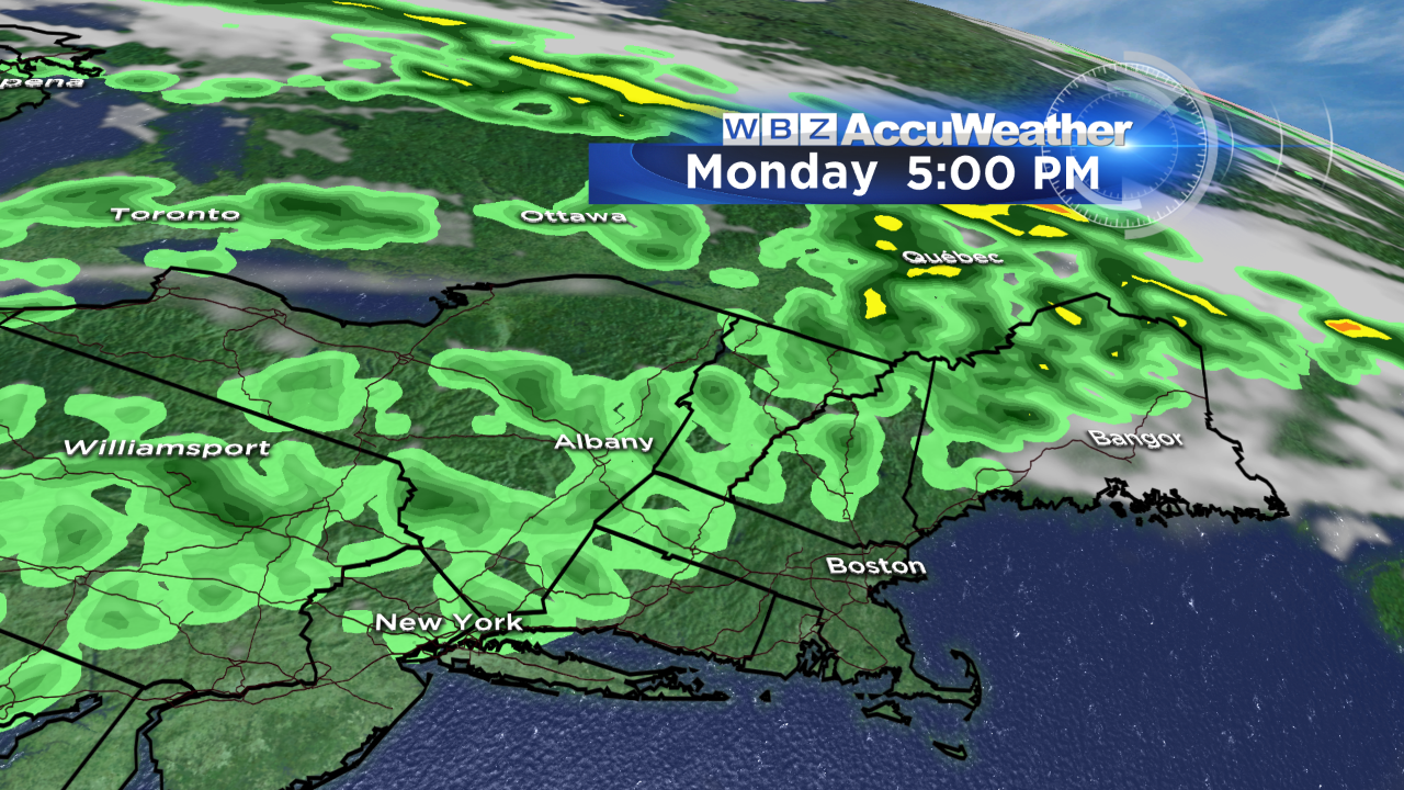 High tides will occur near 6 am and 6:30 pm today and they will be about 50 or so minutes later each day through the week.Sunshine will rule today with some building clouds yielding some spotty boomers mainly much farther north and west of Boston on the afternoons of Monday and Tuesday. An approaching frontal boundary will be the catalyst in triggering scattered storms Wednesday and perhaps Thursday. New high pressure will arrive to produce nice weather for next Saturday.
On WBZ News, you can watch the weathercasts of Danielle Niles through 9 o'clock this morning then come back to see my evening shows on @6:30 and 11 pm.
Enjoy the rest of the holiday weekend.