Could Be Better, Could Be Worse
 It's Memorial Day Weekend already and most people think of it as the unofficial beginning of the summer vacation season even though meteorological summer doesn't begin until June 1 and astronomical summer doesn't start until the solstice on June 21st at 6:51 am. It is a weekend when we honor all Americans who have died while in the military service. As a holiday on the final Monday of May, Memorial Day can occur as early as May 25 and as late as May 31. It would be so great to have a repeat of last weekend's weather when it was so beautiful but the weather could be worse. It will certainly NOT be a washout but showers are probable all three days especially farther west and north of Boston. On Memorial Day weekend last year, Boston's high temperatures were 54 on Saturday, 60 on Sunday and 73 on Monday. It started off gloomy and wet then improved with time. This weekend's numbers should be a bit higher at 58, 66 and 80 for Boston.
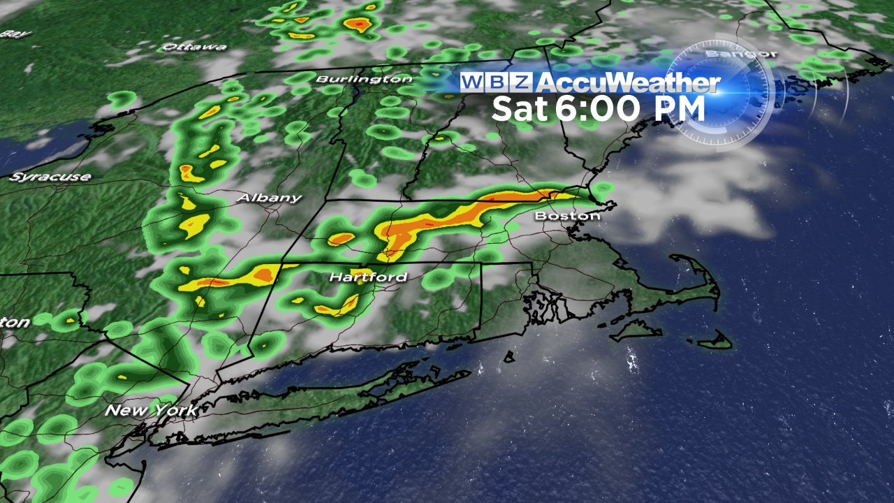
 There will be some areas of sunshine around the region with the most concentrated over southeastern MA and Cape Cod.The risk of showers and a few thunderstorms is highest mainly west of the I-495 corridor today and tomorrow. A few of these could stray onto the coastal plain but the axis of action will well inland away from the seabreeze and with the light steering currents, slow-moving cells will release some local downpours despite the lack of real humid air. Temperatures will be higher inland away from the cool ocean so expect highs there in the middle to upper 60s today and upper 60s to lower 70s tomorrow. Coastline temperatures will max out in the upper 50s today, lower to middle 60s tomorrow and near 80 Monday except 70-75 on Cape Cod. High tides are near 8:15 today, 9:15 tomorrow and 10:15 Monday both am and pm. Seas will be running at 2 up to 4 feet.
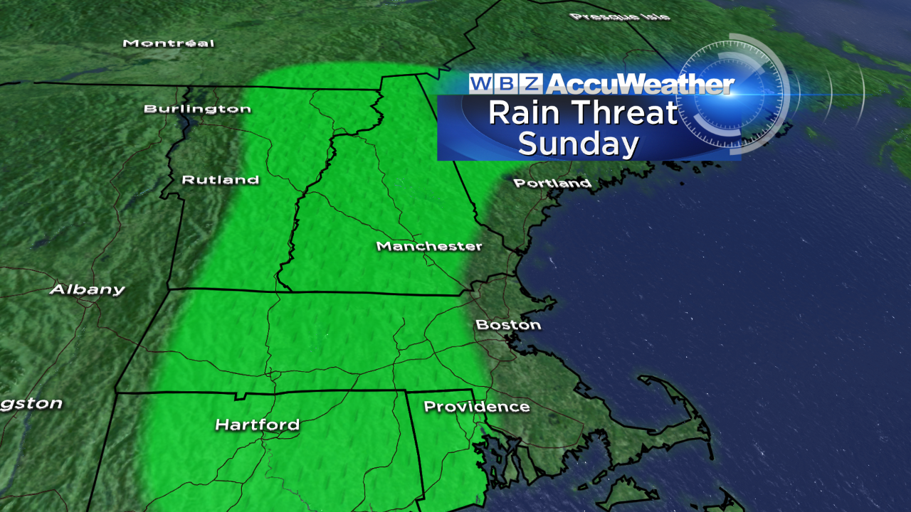
 Most of the showers and boomers on Memorial Day will occur over ME, central and northern NH and northern VT. The action will be associated with a backdoor cold front that will push south-southwestward and cool off the Boston area Tuesday afternoon. So expect more scattered showers and storms on that day as the temperatures rise from the lower 60s at dawn to the lower to middle 70s before the wind shift to northeast causes plunging temperatures of 10-15 degrees. A ridge of high pressure will build down into the Northeast to provide mainly sunny and cool weather for Wednesday into Thursday. Other than the 80 degrees on Monday, no hot weather is anticipated for our region through the rest of May.
My next scheduled blog will be posted early tomorrow morning or sooner if conditions warrant any change this evening.
Have a happy and safe Memorial Day Weekend.