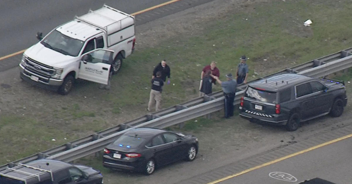
It Could Be Worse
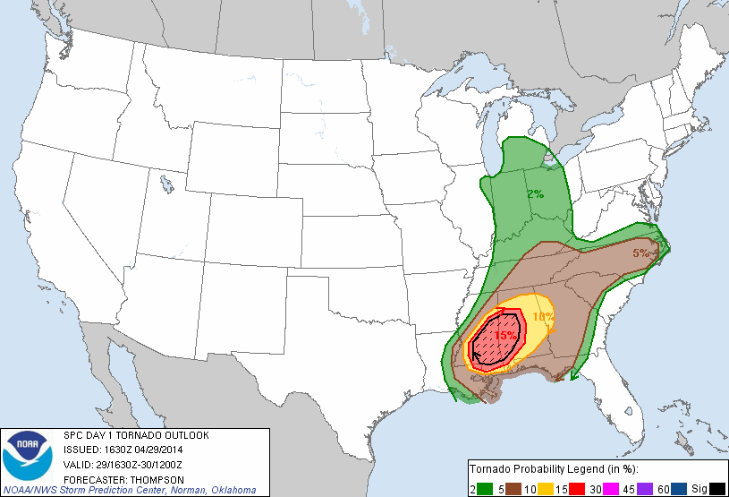 The late April chill continues this afternoon through tomorrow featuring high temperatures only in the middle 40s and that is about 15 degrees below the average for the date. Yes, it is gloomy and raw but it could be much worse. On this date in 1987, we awoke to more than 4" of snow in Boston ranging up to 10" in many of the Metro West communities with up to almost two feet of snow in the higher elevation areas of Worcester County! Or flip side, we could be dealing with the threat of severe weather yielding more potential devastation and fatalities in the next 24 hours if we lived over the southern states. In the past 48 hours, there have been 114 tornadoes over 10 states resulting in 28 fatalities and massive damage. Many of the areas that were battered yesterday are under the threat later today and tonight. The highest tornado probability is placed again over portions of MS and AL. I pray for the safety of the folks down there in the hours ahead. So based upon all of that, I am extremely thankful to be here in New England where it is currently cool and I will not complain. Well, I only complain about really hot weather anyway.
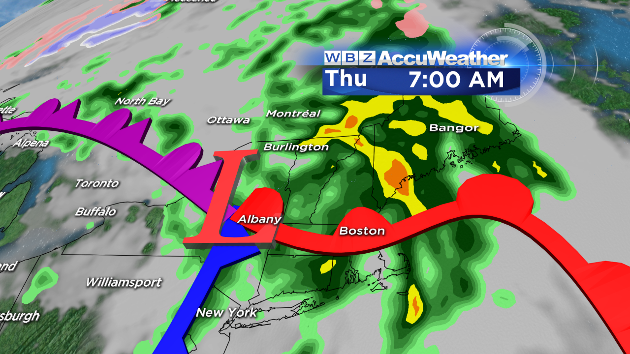 The same system that will be cranking out the severe weather down there will be releasing a dose of rain on the Northeast later tomorrow and especially tomorrow night here in New England. The stage is set for up to an inch or so of rain as the zone of low pressure and frontal boundaries approach from the southwest. After nothing more than a few spotty spritzes this afternoon, some migrating patches of mist tonight and showers tomorrow, most of the widespread and heavier rain doesn't unfold until tomorrow night. It should be just cool and raw at Fenway Park tonight with temperatures in the lower 40s but the game may be impacted tomorrow night when rain is much more likely. As a warm front lifts into the region early Thursday, there could be some areas of fog and the rain will taper off to spotty showers and mist. After the frontal passage, it will become much warmer with a southerly wind introducing more humid air. With the aid of some brightening episodes and breaks of sunshine, I expect temperatures will easily make a run for 70 or so on Thursday. As the cold front swings in from the west in the afternoon, there could be a few scattered showers and boomers with little or no risk of any severe weather. Drier air flows in on a nice westerly breeze Friday so there should be some sunshine at times with highs in the middle 60s. Beyond that, the weekend should feature highs in the lower to middle 60s with varying amounts of clouds and sunshine with a slight risk of a shower north and west of Boston later Saturday. The risk of a few showers and boomers increases on Sunday.
Enjoy the rest of the day!