Snow Photos, The 'Fisher Block,' And Frigid Air
Find Eric Fisher on Twitter and Facebook
We've started to see a pattern here in the WBZ Weather Office, which began back in mid-August. Terry Eliasen, our esteemed head-of-all-things-weather has coined it 'The Fisher Block.' Essentially, it's been as quiet as rural Nebraska in the middle of the night since I moved back to New England. There have been a couple of events, but in the grand scheme of 4 months of New England weather we haven't had much to deal with. No tropical events. No major temperature records being broken. Unusual streaks of sunny days. No early season epic snowstorms. Barely even any rain!
"But what about the past 4 days?" you ask. Well, I was away for a long weekend in Arizona. We literally had months of quiet weather, I went away for 4 days, and we had 3 winter weather events in those 4 days. Coincidence? Perhaps. But nearly as soon as I got into the office today, the snow started to wrap up. All done by the end of the newscast. Nothing but cold for the rest of the week. Maybe there's something to this! And if the trend continues, maybe we should place bets on the next storm this weekend heading out to sea. But more on that below...
First off, your photos! Always appreciate these, and the 1-3" of snow reported across the area today was perfect for 'mood snow' photography...just setting the ambiance with major travel hassles throughout the day. You can send these in, along with snow totals, to us via Twitter or email WBZStormTips@cbs.com (rest of the forecast discussion below)
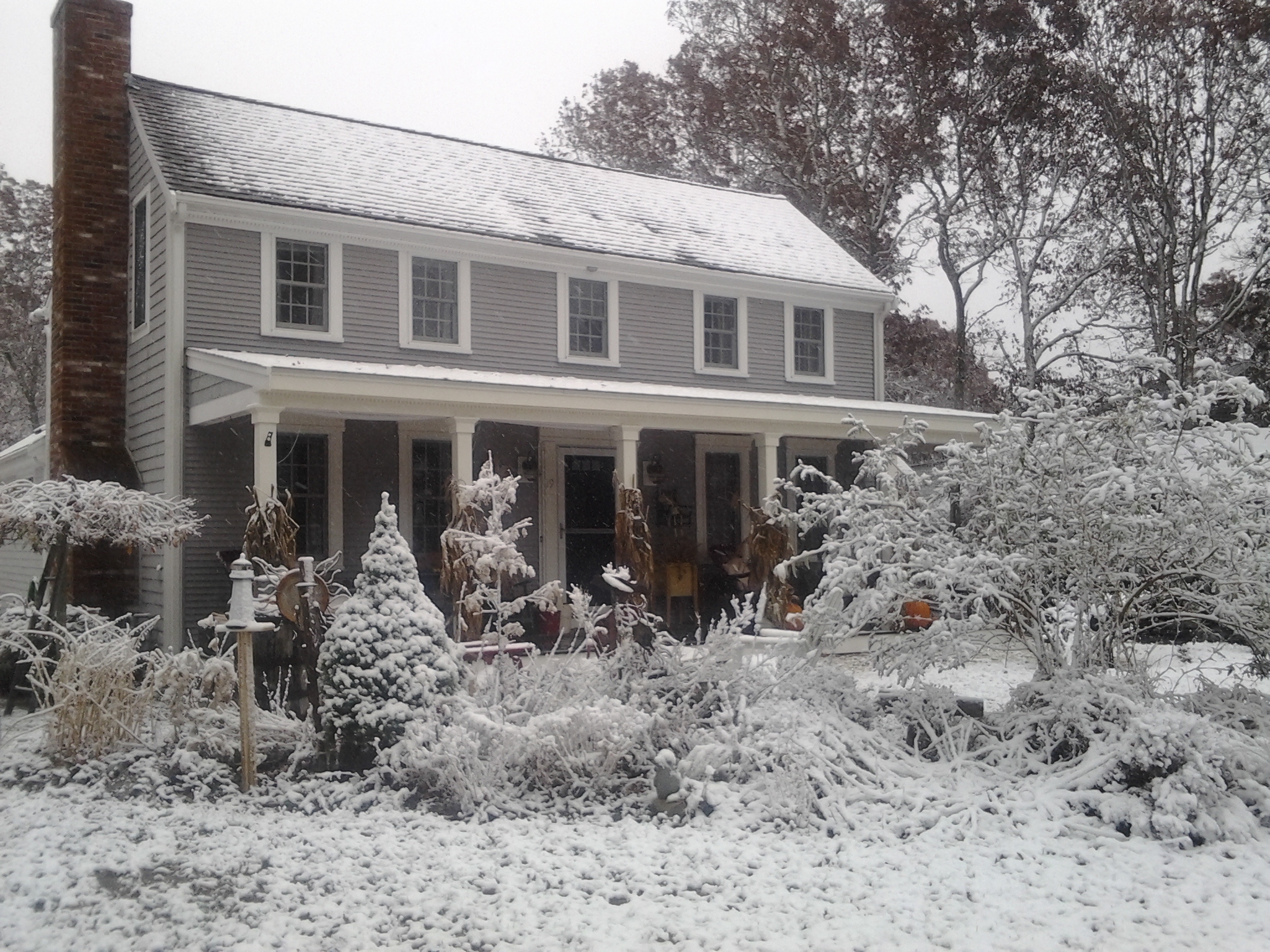
Courtesy: Dave and Lana in Mashpee
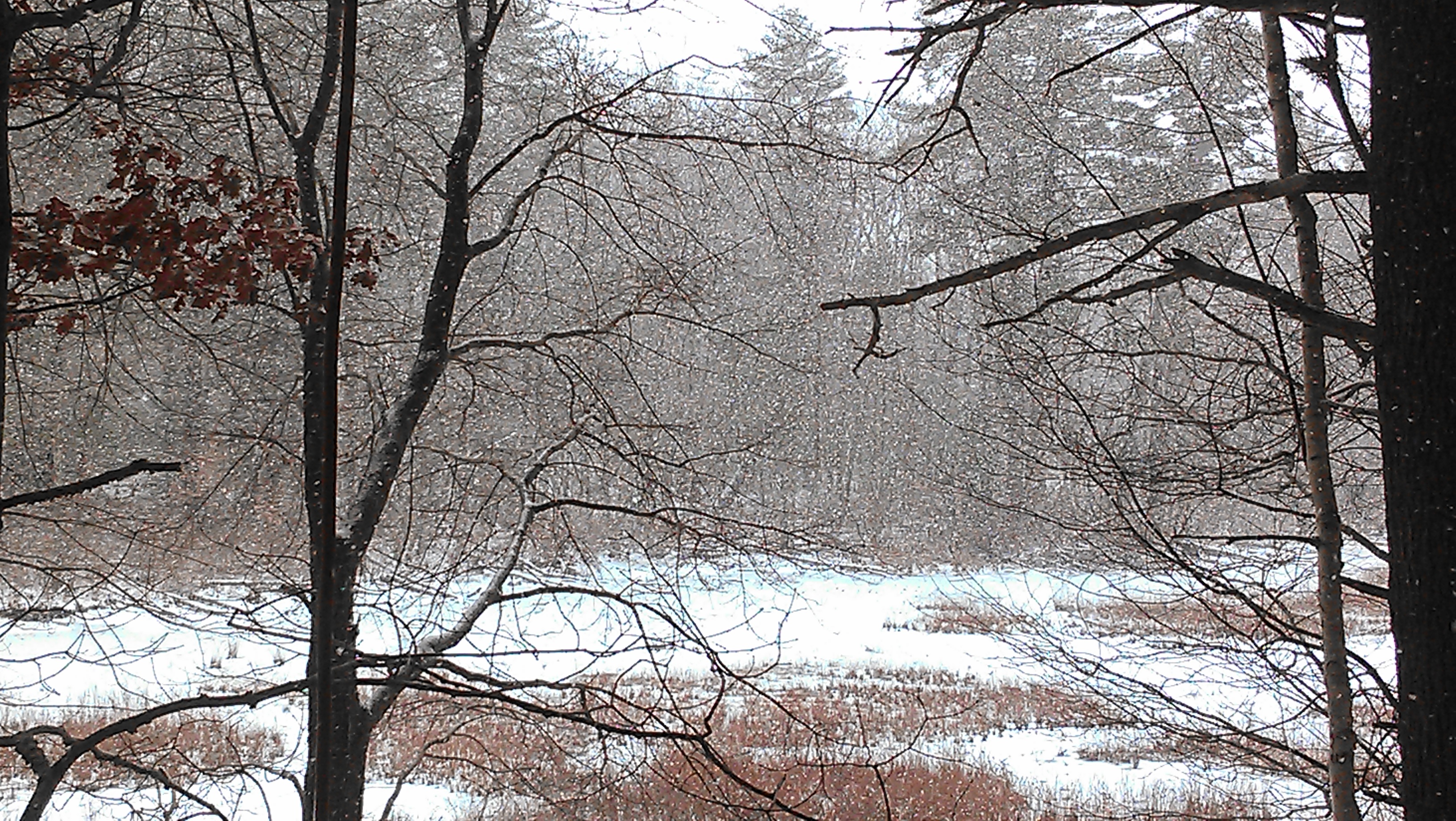
Courtesy: Mel in Tyngsboro
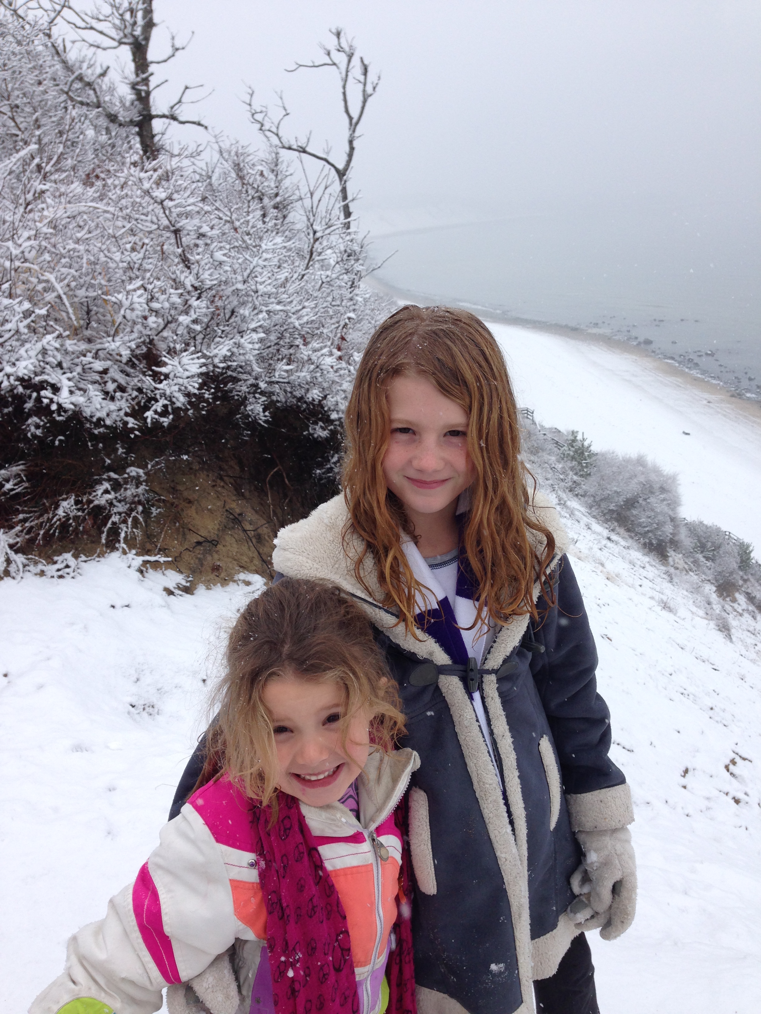
Courtesy: Scott in Sagamore Beach
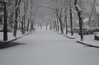
Courtesy: Mark in Newton
When all was said and done, a solid forecast which just about everyone fitting in the 1-3" range. We like well-behaved storms here! The big issue tonight is the rapidly falling temperatures. Even by the end of the newscast at 630pm, I walked outside here in Allston and the whole lot was frozen up. Be extra careful walking/driving around through tomorrow morning, as any wet surface is now icy and very slick. Temperatures will continue to drop all the way back into the 10s and low 20s by daybreak. So crunchy snow and dangerous untreated surfaces will be the rule as we clear out.
The story for the rest of the week can be summed up with one word: COLD. A big ridge of high pressure will essentially stay put near Alaska, keeping a long-wave trough over much of the lower 48 and repeated blasts of Arctic air pinwheeling down. Not much fun for the cold-haters, that's for sure. Tomorrow we're ahead of an approaching cold front, so winds will be SW at 10-20mph and highs will reach the balmy lower 30s. A few flurries are possible, in the am across the Berkshires and overnight just about anyone could see a flake or two as the Arctic Front passes through. If you think the lower 30s are chilly (they are indeed 10º below average) - just wait. Bitterly cold air awaits behind this front.
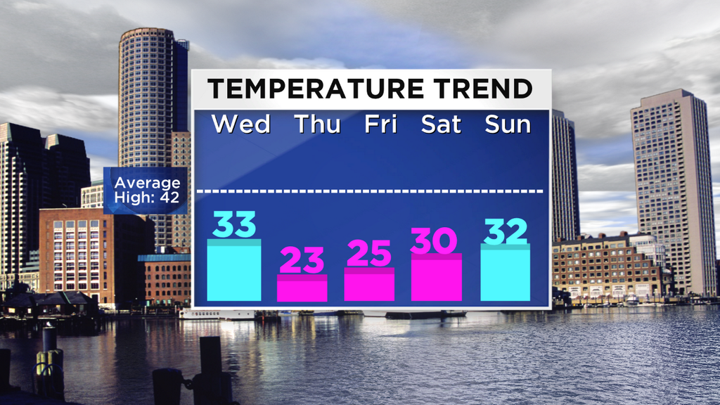
The number to note here is '42,' the average high for this time of year. We'll be hard pressed to see the 40s for quite some time. In fact, many towns that fell below freezing today will not rise above it again for perhaps another week or more. It's pretty rare to see 3 straight sub-freezing days in a row in December in Boston, and we may see just that. Plus, overnight lows will be in the 10s and 0s through Saturday. A pretty brutal stretch for any month!
The only warm spot in the Lower 48? That would be Florida. Essentially the only place to escape this frigid outbreak, along with SoCal and their Santa Ana winds.

Then, we get to this upcoming weekend. Most models are pointing toward a storm winding up near the coast, and with plenty of cold air around the chances are high that most of the precipitation would fall as snow or ice. I had to chuckle today at how many people asked how many inches of snow we'd see and where the rain/snow line would set up. Boy have the expectations of forecasting grown! Unfortunately, it doesn't work that way. All I could really saw with any confidence right now is that a storm looks likely Saturday PM - Sunday, and that significant wintry weather may be a factor. We'll get more information over the next 24 hours, and have a much better idea by Thursday. So don't go cancelling all your plans yet! But definitely stay tuned.

