Another Round...
Once again it's going to be a challenge getting around today.
First, black ice issues early on as all the slush from yesterday has frozen up, but shortly it's more snow.
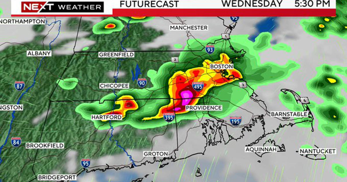
An energetic, fast-moving storm system is racing through the Mid-Atlantic. Favorable upper level dynamics has created a blossoming area of moisture and it's surging northeast into southern New England.
Snow will break out by mid-morning and will taper by the early evening.
The good news is that the commutes will be minimally impacted, but the bad news is with cold temps the snow will coat all roads slowing midday and afternoon travel and crews will be needed in many communities.
The snow will be most intense south of Boston and the Massachusetts Turnpike. In fact, moderate to a brief period of heavy snow may be seen on the South Coast during the afternoon. In the end, it won't be a lot of snow, one-to-three inches from the Pike, south through the Islands and a coating to one inch north of the Pike.
The snow won't melt away either. Following the system, a solid blast of Arctic air descends on New England with highs in the 20's over the second half of the week.


