Hop On The Roller Coaster
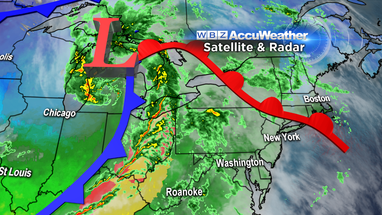 A strengthening gale center is crossing the Great Lakes this evening on its way into central Canada. The chunk of energy associated with this powerful system has been triggering a swath of severe weather in the Midwest and Ohio Valley states. Thankfully, the main energy supply will peel off well to the north and west of most of New England overnight. Nevertheless, as the cold front sweeps eastward, it will plow a pillar of downpours and gusty winds with spotty lightning into western New England by 3-5 am with an estimated arrival time close to 6am in Worcester County and 7-8 am in the Boston area. It will be fast and rather furious but only isolated to widely scattered wind damage is projected at this time. Rapid clearing will follow the frontal passage so sunshine will take over from mid-late morning from west to east. Plan on an unusually warm start to the day as temperatures actually rise later tonight from the upper 40s to lower 50s early to the upper 50s to around 60 by dawn. Initially, the air will not quickly become colder so temperatures have a shot at reaching 64-68 at midday before gradually declining as the afternoon progresses. The average high temperature for November 18 is 51 and the record high for the date is 73 degrees set in 1953.
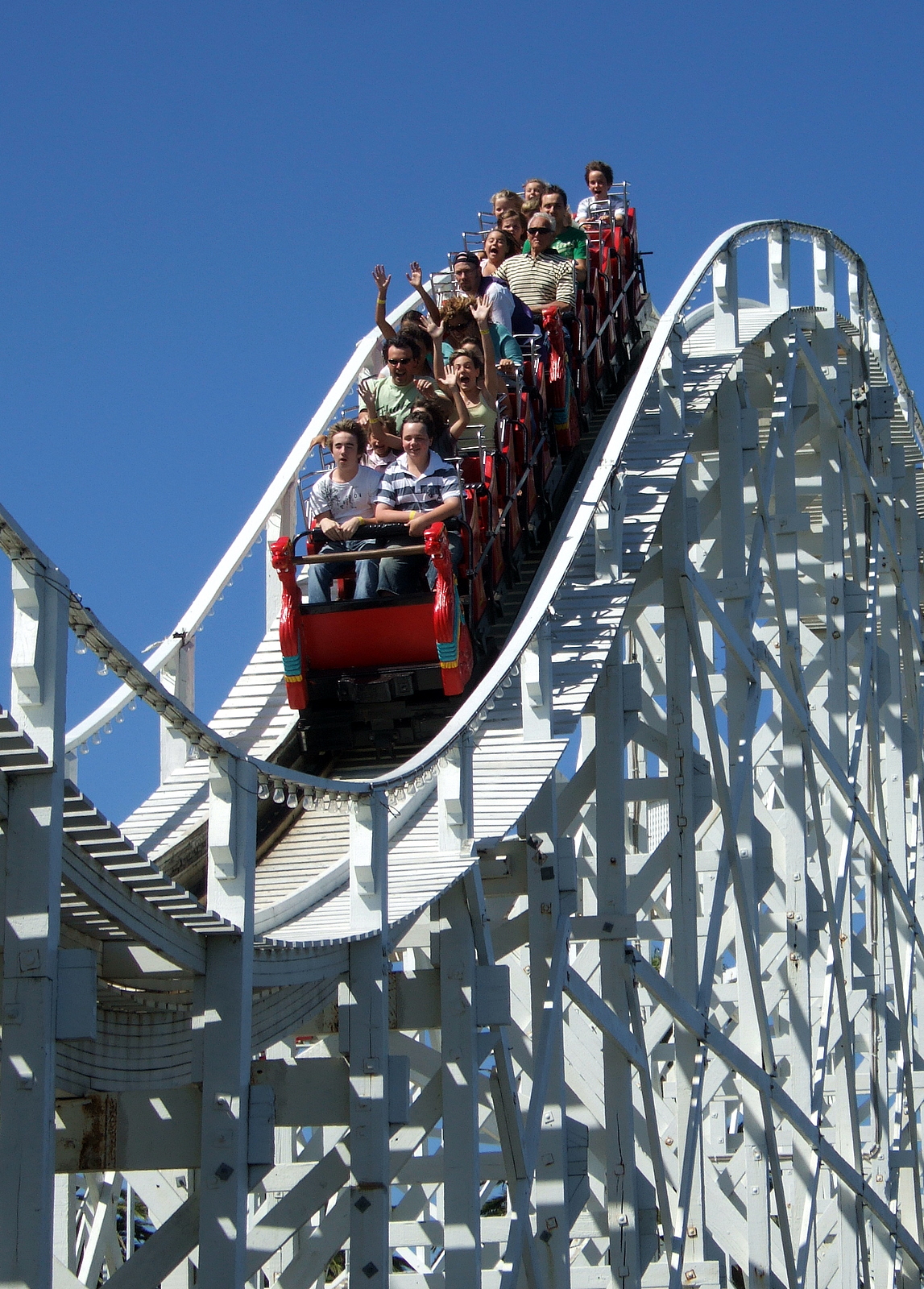 The core of the next cold air mass will arrive late tomorrow night and Tuesday. As a result, we will go on yet another temperature roller coaster ride with highs taking a 25-degree drop on Tuesday vs. tomorrow. Overnight lows will ratchet back to the middle 20s on Wednesday morning to the lower 20s on Thursday morning. There will be a recovery in the highs later in the week with near 50 degrees on Thursday and lower to middle 50s on Friday. High pressure will shift eastward from the Great Lakes and provide plentiful sunshine over the Northeast Tuesday through Thursday with some increasing clouds on Friday. The forecast for next Saturday is not highly confident at this time. There is a risk of some showers as a frontal boundary moves into the area. It could turn sharply colder late in the day and that could mean some light snow or flurries later Saturday night if another impulse makes a close pass. We'll be watching it closely as Saturday is when CBS Boston and Faneuil Hall Marketplace present the annual holiday tree lighting spectacular. The festivities begin at noon and end at 10pm. The tree lighting ceremony can be seen on WBZ-TV Channel 4 and WSBK-TV Channel 38 from 7:30-8 pm.
Todd Gutner will post his blog tomorrow morning and Eric Fisher follows with his thoughts late in the day.
Make it a great week!