Time's Up!
The minutes of summer are waning and time will be up this afternoon at 4:44 pm as the autumnal equinox signals the start of fall. It was quite appropriate that this last morning of summer was warm and muggy. Just prior to the arrival of the cold front, it was 70 degrees with a dewpoint of 66 in Boston at 6:08 am! A ribbon of rain was associated with the front and its leading edge was sharp and productive. The duration of the downpours was about 25-30 minutes most places and that resulted in rainfall totals generally in the range of 0.25 to 0.75" across the region except over much of Cape Cod according to the WBZ WeatherBug Network and some of our special spotters. Some communities had some lightning and thunder. After the initial deluge, rain became lighter and more sprinkley before ending. The wind was gusty and shifting with the frontal passage this morning as the air mass was in a state of flux yielding a decline of a few notches in temperature and humidity. A surge of drying is sweeping eastward so the sky will become partly to mostly sunny by late morning most areas with a 10-15 mph breeze. So it should be just fine for outside activities this afternoon including the 1 PM Patriots Game at Gillette, the 1:35 PM Red Sox Game at Fenway Park, the Sylvania 300 Race at the NH Motor Speedway, etc. With the return of some sunshine, the temperature should recover to the range of 70-75.
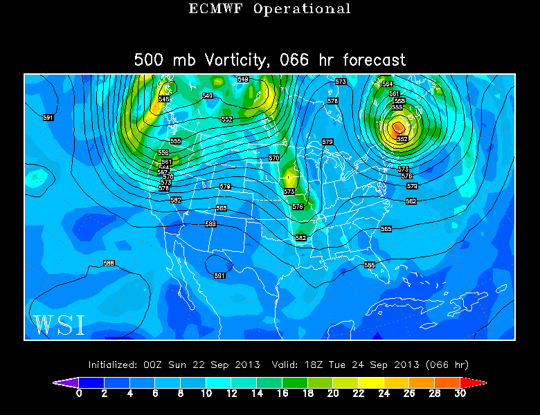 The main chunk of chill from Canada will be released later today as a vigorous upper level low pressure area swings across southern Quebec and northern New England. It will crank out lots of clouds up there with a few spotty showers this afternoon and early evening. The sky will probably become dotted with patches of clouds especially north and west of Boston this afternoon and all of those clouds will vanish this evening as the pool of cold air rushes in tonight via a brisk northwesterly wind at times. It will cool down to 45-50 in the suburbs and 50-55 in the Boston area overnight. The potent upper level low pressure system will get stuck in an atmospheric block and wobble in place over the Canadian Maritimes the next couple of days. It keeps us rain-free but it could spin a brief batch of mid and high level clouds across eastern New England on Tuesday. Meantime, a sprawling zone of high pressure will be quasi-stationary over the eastern Great Lakes into the Northeast through midweek then shift over New England later in the week. That insures a long stretch of dry, sunny weather for this corner of the country. There should be nothing more than a few small puffy clouds tomorrow except more numerous clouds over the mountains. The second half of the week should be governed by almost unlimited sunshine except perhaps over eastern and southeastern MA when the wind turns into a northeasterly direction and the cold air streaming over the relatively mild ocean triggers some patchy cloud development. After tomorrow's highs near or just under 65, temperatures should max out near or just under 70 Tuesday through Friday with 72-75 next weekend. Unless some unknown factor arises, this is a high confidence forecast making it a great time to accomplish outside work that is dependent upon dry weather like roofing and painting. The next frontal boundary with attendant showers is not slated to arrive until next Sunday evening or Monday.
 The fall foliage extravaganza is underway with splashes of color showing up in swampy areas in southern areas and over the higher elevations up north. Peak fall colors will emerge in the next 1-2 weeks across the far northern mountains. Logon to leafpeepers for updated information from several states.
Joe Joyce posts his blog this evening and Todd Gutner is on duty early tomorrow morning.
Make it a great week!