Summer Fades Away
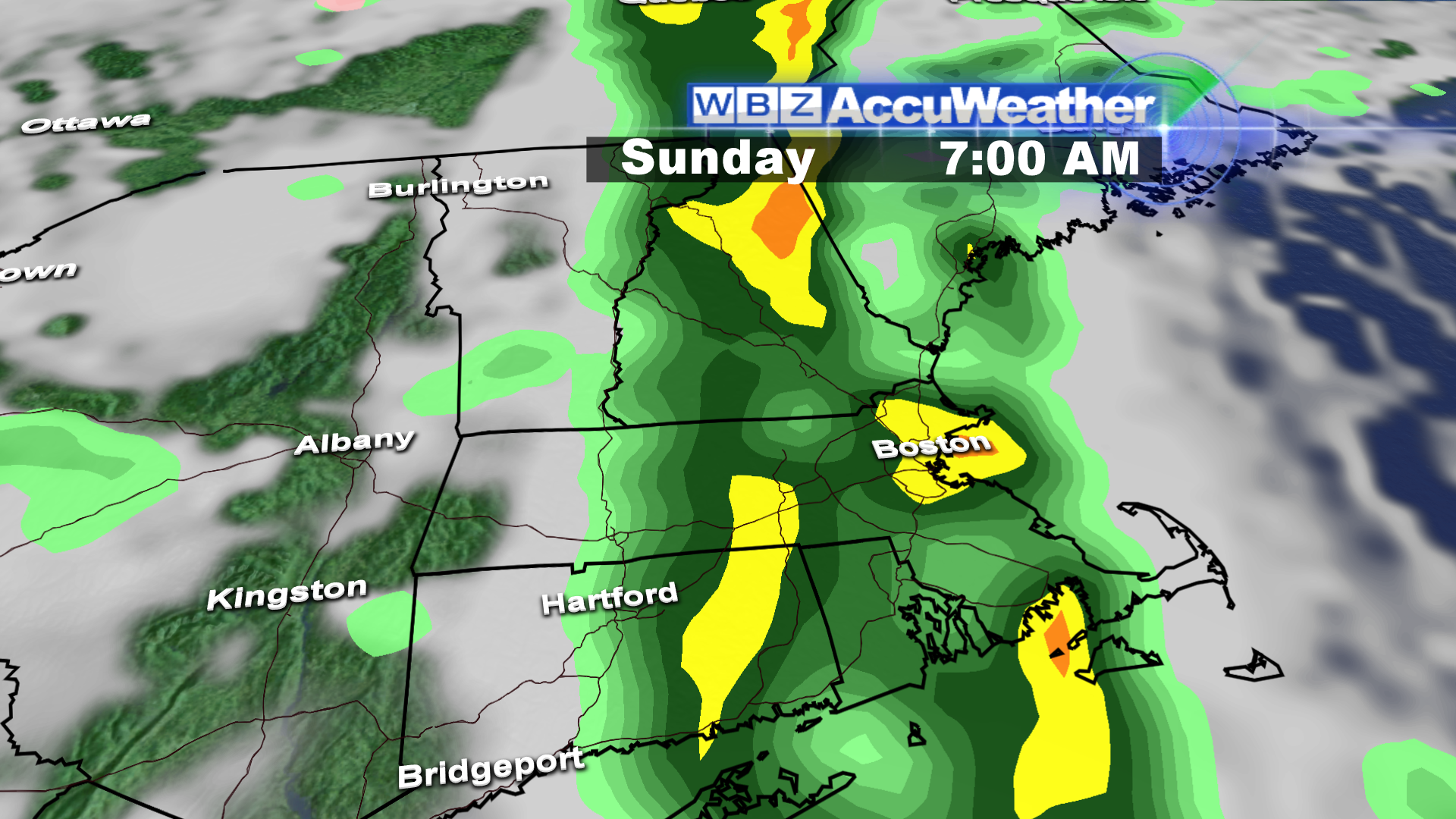 The weather has just been exquisite lately and I would rate the last few days as close to perfection. Yesterday's highs near 80 away from the ocean was delightful. It felt more like summer and today is the last full day of summer with the autumnal equinox happening at 4:44 pm tomorrow. The foggy places have disappeared and we'll have varying amounts of clouds and sunshine across the region for the rest of the day. Expect highs ranging from near 70 at south-facing coastal locations to the upper 70s northwest of Boston. There will, however, be a temporary break in this stretch of splendid weather with more good stuff in the week ahead. A weak mid-level disturbance near the NJ coast will advance northeastward during the day and could produce a few widely scattered showers later this afternoon and evening. It is not associated with the cold frontal boundary approaching the Appalachian Chain. This boundary is triggering an almost solid ribbon of rain from Canada to the Gulf Coast. This ribbon will shift eastward across New England early tomorrow with the back edge of the rain exiting east coastal MA by 10 am. Much of the rain is light but there will be some scattered heavier showers and isolated lightning and thunder embedded in the line. Its momentum will remain robust so some sunshine will be arriving soon after the rain is over.
 That is good news for outside activities tomorrow with drying conditions for tailgaters at Gillette followed by some sunshine, a nice breeze and a temperature up to near 73 for the afternoon game. Similar weather will exist at Fenway Park tomorrow as the Sox host the Blue Jays. Before that, there is a slight risk of a passing shower there this evening as the Red Sox go for win #95. Otherwise, it will be mostly cloudy and rather humid and breezy during that contest with a temperature near 70. It will be much milder tonight than recent nights with lows in the lower to middle 60s with the humid conditions.
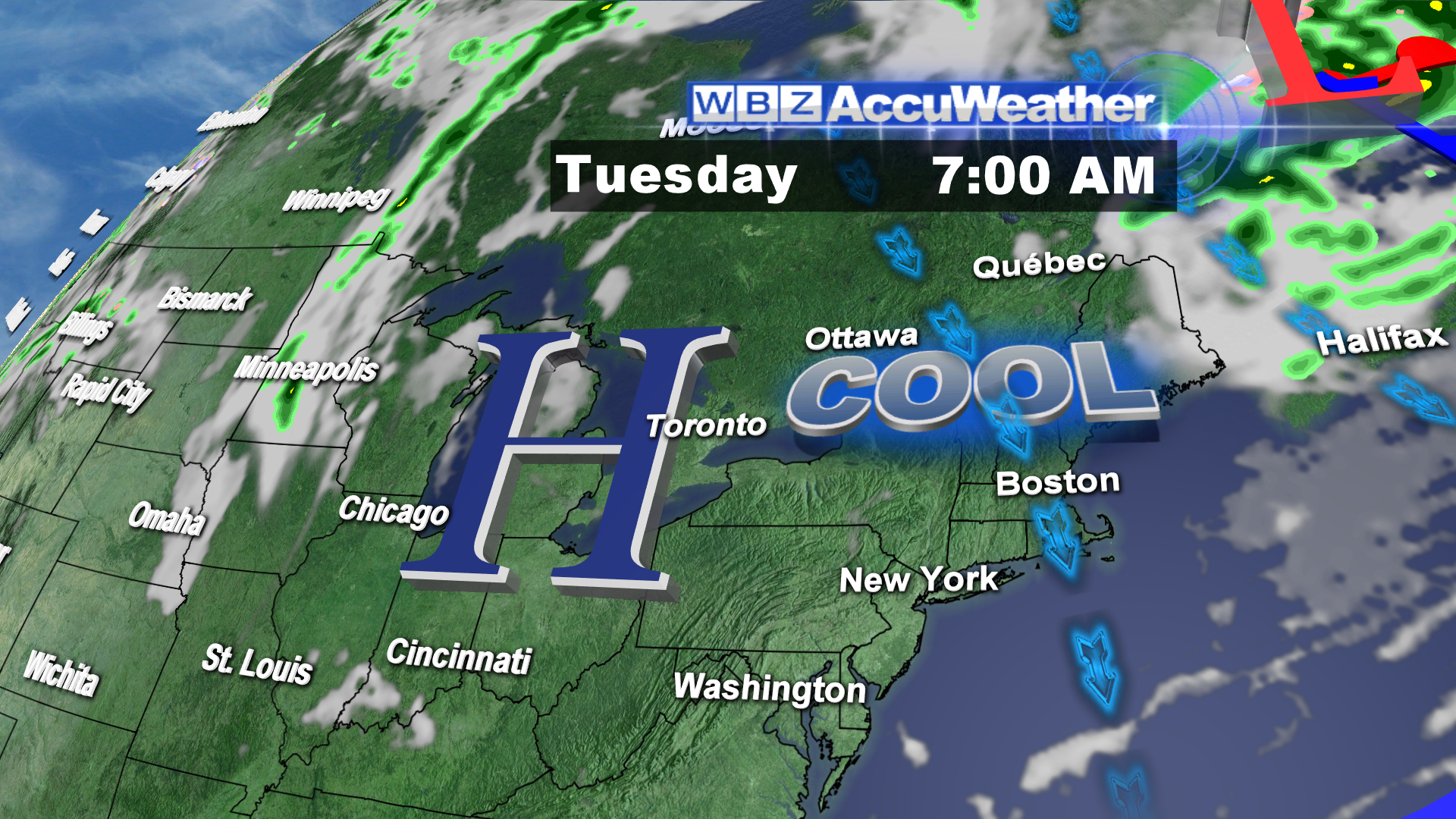 Looking ahead to next week, another sprawling benevolent high pressure system will deliver brilliant days and nippy nights. This feature will be in control through next Saturday. After that, the next cold frontal boundary will produce a string of passing showers on Sunday, a week from today. It appears that this is a relatively high confidence forecast with the only uncertainty being the exact timing of the arrival of showers next weekend. So you have several dry days coming again to accomplish outside work like roofing and painting after tomorrow.
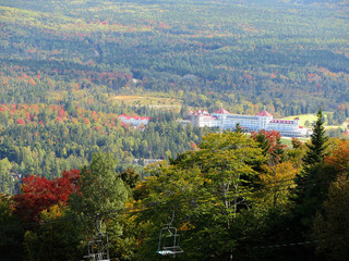 Bright sunshiny days and crispy cool nights is just what the doctor ordered for the progression of the fall foliage extravaganza and the formation of vibrant colors. The greatest change is already occurring over the far northern mountains with peak color 1-2 weeks away up there. Most of that region will likely be past peak by Columbus Day Weekend. As the season unfolds, the WBZ Weather Team would love to see your pictures. We will create an album on the WBZ Weather FB page and post some of the pics on the CBSBoston.com web site and on Twitter. For more information on the color changes, logon to leefpeepers.
Thankfully, there is no action in the tropics today. Seventy-five years ago today, the Great New England Hurricane of 1938 slammed into the region causing hundreds of fatalities and cataclysmic damage. Read this report from the National Weather Service.
Joe Joyce posts his blog this evening and I shall return early tomorrow morning.
Have a happy and safe weekend.