Another Taste...
These will become more and more frequent over the coming weeks, but for now they still get your attention. Another burst of Autumn air will invade Southern New England tonight resulting in the coldest temps since last Spring.
Before we get to the chill we have to get through a few showers first. A band of rain is working through right now and will exit by midday...the sun will poke out but a mid-level vort max will trigger a few more scattered showers later in the afternoon. Temps will fall quickly following the departure of the vort max and will settle into the 30s and 40s. In fact, there is a Frost Advisory in place for early tomorrow morning for Northern Worcester County, Western MA and SW New Hampshire. Most will avoid any serious frost issues but it's probably a good idea to harvest some of the tomatoes.
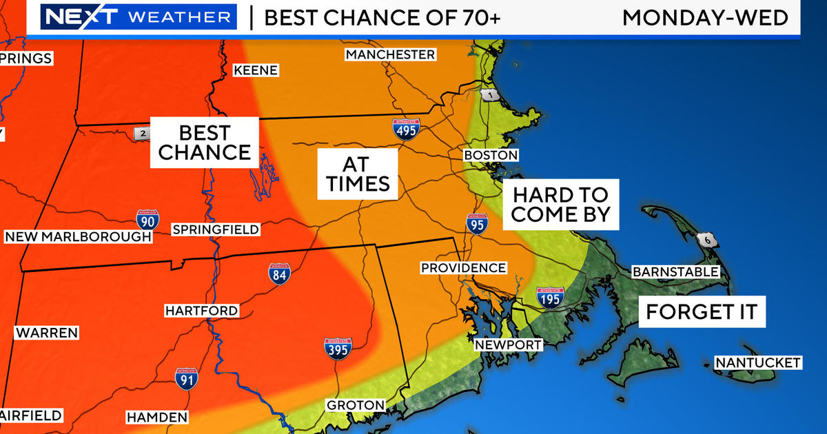
A chilly ridge of high pressure will settle over top of us tomorrow limiting the mixing so despite ample sunshine temps will only recover to the lower 60s. That high pressure cell will drift south of us through the remainder of the work week allowing the chilly air to moderate back into the 70s and quite possibly 80 by the end of the week. Along with the warm up dry air will promote mostly sunny days. Our next chance of rain will arrive late in the day on Saturday and will linger into Sunday morning.


