Scorching Heat Eases A Bit Next Week
This is one hot steamy weekend! Summer lovers are just getting warmed up as this is the kind of weather they long for in the dead of winter. I love summer too, but this kind of heat and humidity which can really wear you down in the midday sun! A heat advisory from 1 PM to 6PM where temps are expected to climb into the mid 90's, with dewpoints in Lwr 70's. This will make the air feel like 100-103 degrees this afternoon. Stifling! Light west winds will warm our eastern facing beaches into the Lwr 90's without much of a seabreeze at all. West winds will make for a warmer day at the south coast too where temps will climb to near 90 near Buzzards Bay and mid-upper 80's on the Cape with a brilliant sunny day at the beaches. My best advice is to take a few hours in the peak of the midday sun and just relax in a cool spot. There will be plenty of more sun and warmth to enjoy by mid afternoon, one the sun gets a little lower in the sky. The sun just feels so strong in this heat. By afternoon, we could start to see a few more clouds shifting into SNE for partly sunny skies with a risk of a pop up shower or T'storm. There is not much lift in the atmosphere, so any shower or storm will be extremely isolated and brief.
Clouds will be streaming through New England tonight with partly cloudy skies, mild muggy and lows in the 70's again. The ridge of high pressure which has supplied the unseasonal warmth into the Northeast for this Holiday weekend, will slowly begin to weaken. This should mark the beginning of the end of this heat wave by Sunday. With a stalled front west of us, clouds will be directed around the weakening high Sunday with partly cloudy skies. Temps will still be hot with highs near 90-95 with the hazy hot humid conditions. There will be a better risk of scattered showers or storms popping up in the afternoon with a weak surface instability trough stalled over us..
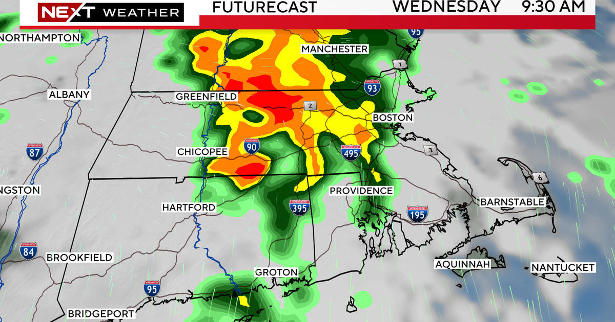
With the heat ridge breaking down, we will be tracking a shortwave from the Midwest tracking through the Ohio valley and eventually to New England. This will provide more substantial lift to aid for more showers and thunderstorms to form, along with a backdoor cold front which will try to push south from Canada. The combination of the increased cloud cover , along with more numerous shower activity should help to suppress the heat Monday into the mid week with highs in the 80's to near 90. If this backdoor front pushes farther south, there is a potential for winds to shift onshore which could cool down Tuesday and Wednesday into the Lwr-mid 80's...especially at the coast
Once this short wave passes, a flatter flow will develop in the overall pattern. This will help to keep temps warm and humid through the midweek to end of the week and temps will try to rebound back to near 90. Another trough will swing into the Northeast by the end of the week, around Friday. A cold front will slide through and will come with cooler drier air from Canada and will finally help to break down the heat and humidity and restore some sanity "briefly" to our weather pattern to start off the weekend with more comfortable air. Still the risk of afternoon showers and thunderstorms will remain. It just goes with the territory this time of year.
Stay cool out there this weekend! Better get busy living this summer because time is quickly moving as always.