A Little Bit of Everything...
Happy Father's Day to all the dads out there! A real nice morning at the beaches and across eastern MA...but clouds are on the increase as we move into the afternoon. SW breezes will pick up this afternoon with the approaching clouds and highs will be climbing into the 70's nearing 80. We are tracking a batch of showers which will be pushing into Northern and western new England during the afternoon as part of an approaching occluded front. Steadiest of the showers will fall across the north. Most will have a tendency to break apart as they spread into the region. Still, after 4 PM, as clouds thicken..a few of these showers will start to track eastward. I expect a few showers to finally reach the coast around 6-8 PM. Not expecting anything very heavy...but a few showers will be possible during the early evening.
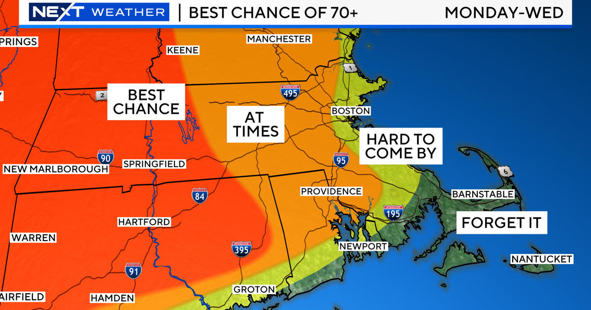
The occluded front will push off the coast late tonight, with drier air following in overnight. Monday will be partly sunny with a warming and dry west wind. Temps will again climb into the upper 70'd and Lwr 80's . Cooler air will begin to push south from Canada. This push will form another cold front which will push into New England which could trigger a few more scattered showers or a thunderstorm during the mid to late afternoon. Most of the day should be fairly dry and warm, with the potential for a brief afternoon downpour inland.
The front from Monday will stall over us Tuesday with Mostly Cloudy skies. This cooler air is being directed into the Northeast by a reinforced trough across the Northeast. The trough will steer another batch of moisture/energy as a weak wave of low pressure through the mid-Atlantic and track just off our coast. A batch of rain main will form along this stalled from for some afternoon showers Tuesday. Once this front pushes off the coast Tuesday night, the trough will begin to lift out with a flattening flow of Jetstream. Building high pressure will follow in for the middle to end of the week with several days of sunshine with temps in the 70's nearing the Lwr 80's by the weekend.
While it has been a struggle to get a return of the heat that we had at the end of May, there are signs of more upper level ridging on the east coast by the end of June. This will be the kind of pattern which will be able to tap into the warmth in the Midwest and direct it into the northeast. An overall warmer weather pattern will be in place by the end of the month heading into July as we will soon be tapping on the door of 90 degrees once again!


