Deluge...
Andrea is no longer a tropical storm, it's a post-tropical storm but the terminology doesn't matter...it's still going to absolutely soak us tonight. Tropical moisture will ride up and over the cooler marine air in place over the Northeast. This will enhance the rain especially to the north and west of the track. The track will travel over the Cape Cod Canal and therefore the heaviest rain will fall throughout most of the State except for the Outer Cape and Islands. Rainfall amounts will range from 2-4" and this will lead to street and parking lot flooding, small creeks and streams will rise rapidly and if prone, basements will take on water.
The center of circulation will travel over the Canal tomorrow morning and therefore there will still be a few leftover showers or downpours first thing tomorrow morning but following its passage, NW will commence and will usher in drier air which will lead to brightening and sunny breaks in the afternoon. There will still be a slight chance for a shower or thunderstorm tomorrow evening with another upper level impulse of energy but most of tomorrow will be rain-free.
Sunday is shaping up to be a pretty sweet day! Sun will mix with clouds and temps will warm close to 80 in the afternoon...a solid finish to the weekend!
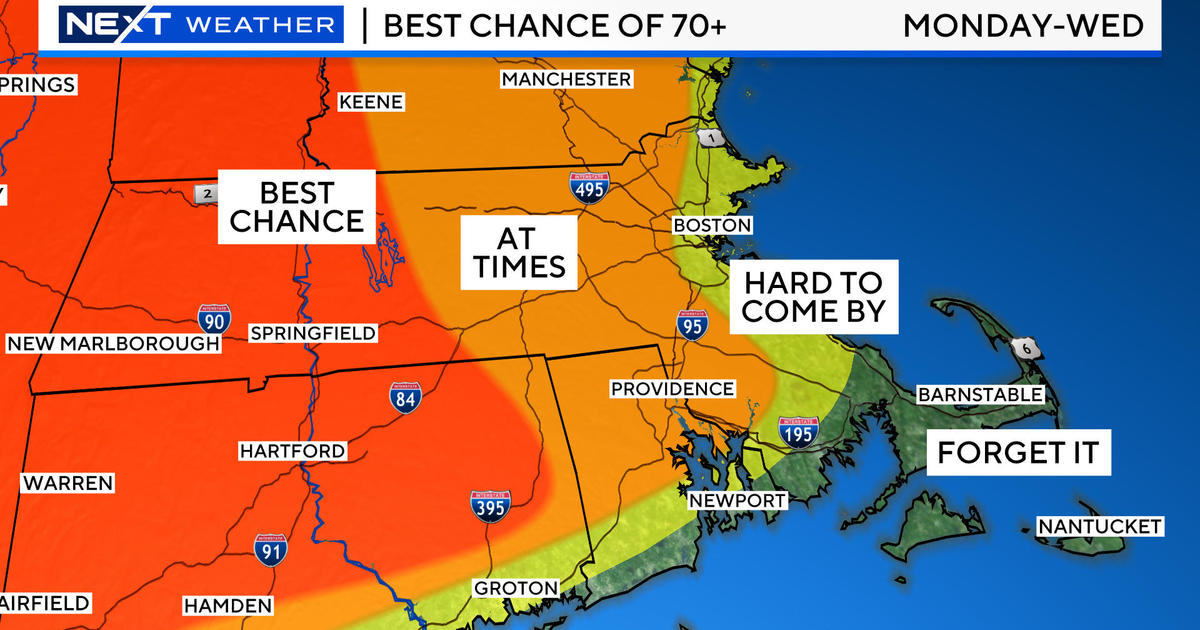
With quite a bit of blocking downstream, a fairly persistent trough will be present over the Northeast through the middle of next week. This will send a series of fronts through the region and with cool air aloft, showers and thunderstorms will be likely Monday through Wednesday of next week.
Have a great weekend!


