Murphy's Law
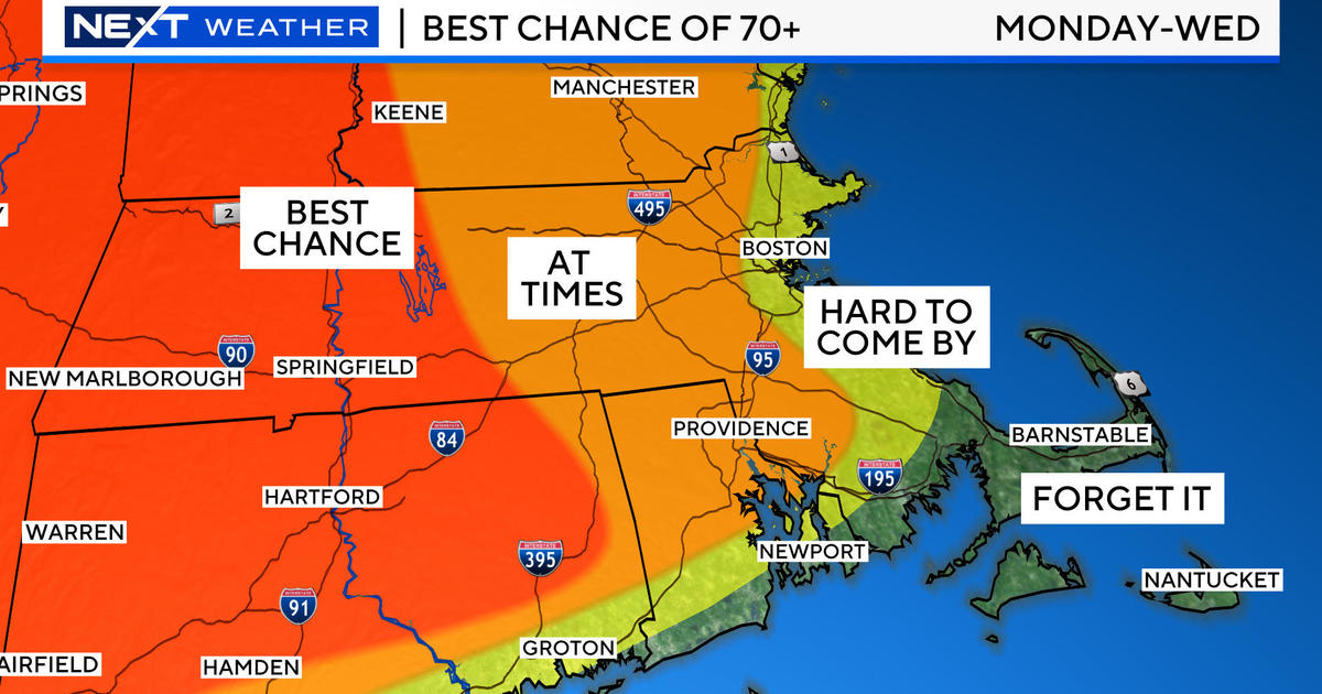
Yesterday's boomers released copious amounts of rain in places especially over southern Worcester County where some locations such as Southbridge received well over 3 inches resulting in some flooding. Hail was rather widespread in many areas along and on either side of the MA Pike. Other boomers across southern NH dropped well over an inch of rain after midnight and rudely awakened some people like yours truly. Nocturnal thunderstorms are truly annoying! The accuracy of today's forecast hinges on the placement of the backdoor cold front that introduced dramatic cooling from the ocean yesterday afternoon. Temperatures plunged up to 20 degrees in a matter of minutes in many inland locations. While it sizzled near 90 there, it never warmed up all day along the coast especially on the North Shore up into the NH Seacoast and ME where migrating fogbanks lingered. That front has stalled out over western New England to just west of NYC. It will reverse course and retrace its path as this day progresses. It appears that there isn't much of a force to accelerate its forward march. Consequently, the prediction is quite tricky and that could yield a big bust potential pertaining to the afternoon high temperatures. For now, I will be cautiously optimistic that the layers of clouds will break up in places to enable the sun to shine through and initiate some warming even before the frontal passage. Clearly, with the eastbound front, western New England will warm up earlier with coastal areas being the last to gain some degrees. As a result, my best educated guess at this moment is that coastal areas will warm into the lower to middle 60s with 70s out in MetroWest and 80s in western New England. The wind will be floppy in direction but generally under 12-15 mph. The heated air out west will be the breeding ground of more showers and boomers later this afternoon and evening. Some of these could be strong but the parameters supporting severe weather will exist mainly from NY and PA into the Ohio Valley this afternoon. Any of this convection that blossoms out there will transit eastward into our region late today and into the evening before weakening overnight.
The warm and humid air will be locked in place from the get-go tomorrow so expect a muggy day with highs in the upper 70s to middle 80s with more clouds than sunshine. The axis of action with many showers and boomers will reside over eastern NY and western New England. The eastward translation of this moist conduit will be retarded by the evolution of a closing and deepening upper level low pressure system over the Mid-Atlantic region late Thursday and Friday. This development will produce a surface storm that is destined to make slow progress across our area through Saturday into Sunday. This is indeed a very disappointing change in what earlier on Monday had looked like a beautiful holiday weekend. I guess that I jinxed it yesterday when I stated that I hoped that I wouldn't have to change the forecast today or tomorrow. With weather on a holiday weekend, Murphy's Law that "anything that can go wrong, will go wrong" applies. With all of this said, it is still not a high confidence forecast just yet. It is based upon the solution of the most reliable mathematical model that we examine. There is always room for an adjustment in this scenario with perhaps a faster exit out of the area by that storm. In any event, as it stands now, I am planning on occasional showery weather through at least Saturday when highs will be in the middle to upper 50s! That is a real bummer for the so-called official kickoff of the summer season. Just remember that I am only the messenger! Memorial Day looks to be the sunniest with some patches of afternoon clouds possible and highs near 70 degrees. It's all about timing because next Tuesday and Wednesday look beautifully sunny and warmer.
Todd Gutner posts his blog early this evening and I shall return early tomorrow morning.
Make it a great day!


