Leave The Faucet On!
Yesterday's rainfall was very disappointing in much of the region as developing showers in the morning swiftly exited out of eastern MA. The formation of additional showers failed until the next spoke of energy arrived late in the evening. It spiked a round of showers and boomers which whipped up over Cape Cod and southeastern MA from 10-11 pm then into the Boston area up across northeastern MA from about midnight to 1am then into southeastern NH and western ME after that. The projected 1/3 to 2/3" fell in many of those locations. Similar totals are probable today in scattered areas. A widespread blanket of 1-3" would be wonderful to put a dent in the 4-5" 2013 deficit but today's meteorological setup does not favor that materializing. After Saturday's batches of showers and storms, the total rainfall for this week will be mainly in the range of 0.75 to 1.5" with some amounts near or over two inches across northern New England.
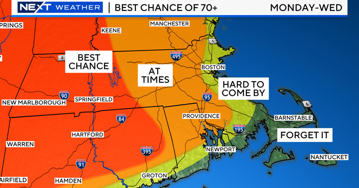
This unsettled, periodically wet pattern is sponsored by a mature closed upper level low pressure system approaching from the west-southwest. Its cyclonic circulation contains parcels of rainfall moving counterclockwise within this spinning top. Associated with the upper low is a pool of colder air which increases the instability of the atmosphere. With any patchy sunshine, the surface is warmed thereby fueling a more unstable environment capable of greater vertical cloud development leading to the eruption of scattered showers and boomers. These migrating storms will be moving more slowly than yesterday so a few totals exceeding an inch is not out of the question on this Thursday. These showers will be percolating not only this afternoon but also this morning. The murky conditions early this morning will improve a bit as much of the fog thins out and disappears except at some immediate coastal locations where it could fluctuate in density into the afternoon. The wind will be light all day with nothing more than a breeze up to 6-12 mph from the southeast to south. With some brightening and a few splashes of sunshine in various places, the temperatures could make a run at or even slightly exceed 70 otherwise it's closer to 60 at te coastline.
It will all change early tomorrow as the sky becomes partly to mostly sunny giving a good boost to the temperatures into the upper 70s to touching 80 in spots. There will be a light southerly breeze up to 10-15 mph. After that, the next weather maker will be closing in on the Northeast. As the low center tracks across upstate NY, its main thrust of steadier rainfall will shoot across northern New England with showers and thunderstorms crossing southern sections. With the passage of the warm front, if there are any spells of sunshine, it will warm well into the 70s to near 80 again resulting in a higher risk of some rugged thunderstorms rumbling over the region from west to east Saturday night. Those will be associated with the first of two cold fronts passing through. The first one will move offshore by daybreak on Sunday with the second one to follow by midday Sunday. It looks like most of the support will be tagged to the first front so the second one will likely transit through without much fanfare other than some patchy clouds and a very low risk of a brief sprinkle or light shower. As a result, my confidence is increasing for the development of some decent sunshine for Mother's Day. Expect high temperatures up to 70-75 Sunday afternoon with a brisk drying westerly wind.
Looking ahead, a healthy ridge of high pressure will create refreshing air and sunshine on Monday and Tuesday. An upper air trough of low pressure could trigger a mix of clouds Monday afternoon with a slight risk of a shower. Temperatures will max out mainly in the lower 60s both days with overnight mins in the upper 30s to middle 40s. Beyond that, an approaching warm frontal boundary from the west will send in varying amounts of clouds and a risk of a shower on Wednesday. We'll be on the cusp of some very warm air in the 80s later next week but it is unclear at this time if it will surge strongly into our area.
Todd Gutner posts a fresh blog early this evening and I shall return early tomorrow morning.
Make it a great day!


