The Week Ahead...
This long week is coming to an end...and it was nice to get a sun-filled day...let's hope this coming week will be kinder to us all.
A zone of high pressure will lead to clear, cam and cold conditions throughout New England tonight. In fact, there are Frost Advisories for the South Coast of New England where the growing season has begun for farmers. But, frost is possible everywhere tonight so bring in any potted plants or you may lose them to a killing frost. The same area of high pressure will slide offshore tomorrow morning inducing onshore flow keeping us chilly all day especially near the Coast where temps stay in the 40s...sunshine will start fading in the afternoon behind high clouds.
A ribbon of moisture looms offshore and a piece of energy from the Gulf of Mexico will slide up the East Coast tapping into some of the rain and ejecting toward Eastern New England Tuesday. Most info points to the heavy rain staying just offshore but cold, raw and wet conditions are likely most of Tuesday into Tuesday night. The rogue storm will move into the Maritimes on Wednesday and sun will develop during the day with warmer temps into the mid to upper 60s.
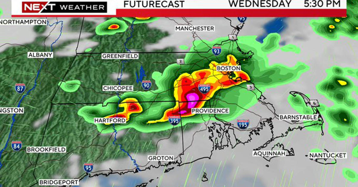
Another slow-moving coldfront will work through New England Thursday leading to the threat of more showers and downpours. Conditions will improve some on Friday with a mix of sun and clouds but an unstable atmosphere may lead to a brief afternoon downpour. High pressure will build in again for the next weekend with warming temps through the 60s to close to 70 away from the coast by Sunday.
Have a great week all...


