Sunshine Wins
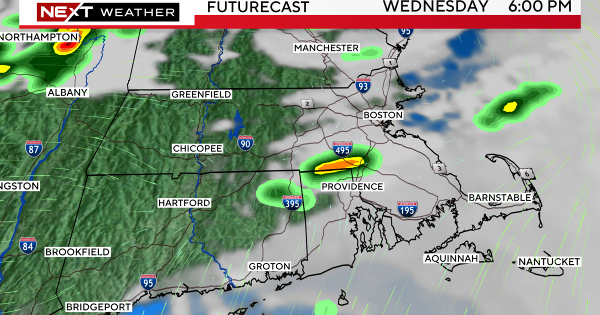
After Tuesday's highs in the upper 60s farther northwest of Boston, the temperatures for today should max out in the upper 60s covering a larger area over eastern MA despite the passage of a cold front around dawn. A few scattered showers passed through parts of the region starting mid-late afternoon yesterday through the night and just a few remain over extreme southeastern MA as of 7am. These will exit swiftly as the sharp clearing line advances steadily southward from the MA Pike to the New England South Coast this morning. Bright sunshine will take over and rule the sky through afternoon into the evening with today's sunset at 7:28 pm. By the way, tomorrow's sunrise occurs before 6 am for the first time since August 22! Today's wind will be northwesterly at 8-16 mph with a few brief higher gusts this morning before subsiding and perhaps turning onshore at the coast by late afternoon. Consequently, it could cool down through the 50s at coastal communities by 5pm. As a ridge of high pressure is poised over the region tonight, it will be calm with temperatures falling down to the middle 40s in Boston and to the middle 30s to near 4o in much of suburbia. A few patches of clouds may be arriving early tomorrow but most of the cloudiness becomes noticeable tomorrow afternoon as a warm front approaches from the southwest. The wind will be southeasterly into the afternoon with a veering to more southerly later in the day. There is only a slight risk of a light shower or sprinkle in the afternoon mainly well north and west of Boston. Expect highs in the range of the lower to middle 50s along the coast up to the lower 60s farther inland away from the ocean breeze.
Warmer and more humid air will be flowing into the Northeast Thursday night and lasting into Friday night. It will be a mild Thursday night with temperatures holding steady or falling slightly in the 50s. Friday's highs will exceed 70 in areas mainly west and northwest of Boston. Closer to south-facing coastal locations namely Cape Ann and all along the South Coast, they will be in the 50s. In between, there will be some 60s . You will definitely feel the higher humidity in the air and that moist air will result in plentiful low cloudiness enabling only limited breaks of sunshine. Although a few spotty brief sprinkles or light showers cannot be ruled out, the main swath of wet weather occurs Friday night through Saturday morning as a cold frontal boundary pushes eastward into the region. Initially, in the warm, muggy sector, the rain will be more showery and convective with a few embedded thunderstorms possible. Following the frontal passage early Saturday morning, a strip of steady stable rain with intensity mostly light to moderate will exist for a few hours. This strip will shift eastward as the day progresses so the rain will end just before noon in Worcester County to a bit after noon in the Boston area and around 1-2 pm on outer Cape Cod. Clearing will follow a couple of hours after the rain terminates so that means some sunshine will return Saturday afternoon and the temperatures will rise to the upper 50s to near 60.
Looking ahead, bright sunshine should cover the region on Sunday as a strengthening zone of high pressure builds across southern Canada and ridges into New England. Plan on highs in the middle 50s as a morning northwesterly cool breeze veers to northeasterly in the afternoon. With that strong high centered to the north-northeast of the region and a tightening pressure gradient from southern New England southward, the northeasterly wind will be brisk and gusty cold on Monday. Highs will range from the 40s over much of southeastern MA up along the coast through the North Shore ranging up to the middle 50s well north and west of Boston. Most signs are signaling that a wave of low pressure will blossom over the coastal area of South and North Carolina on Monday afternoon. This system may intensify on its trek northeastward to be centered near of just off Cape Cod by late Tuesday. It is too early to be highly confident that this solution will verify but the odds favor rain to overspread the area Tuesday morning with heavier rain Tuesday afternoon into Tuesday night amidst a gusty northeasterly wind. This feature could crank out copious amounts to 2" or more over southeastern MA. Specifics certainly cannot be guaranteed at this juncture.
Todd Gutner posts a fresh blog early this evening and I shall return early tomorrow morning.
Make it a great day!


