Clouds Rule
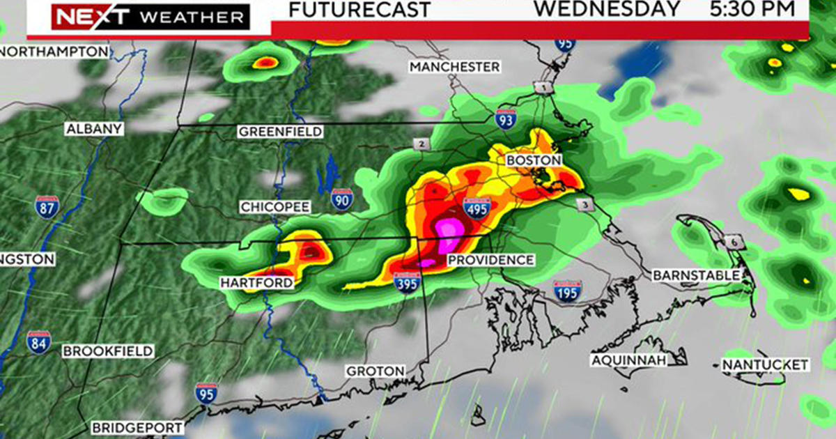
After yesterday's lower to middle 50s, it will be a bit cooler today thanks to all of the clouds hanging around. A band of mostly rain showers with some spotty wet snowflakes mixed in tracked southwestward across the region in the early morning hours producing only wet roads. There are no worries this morning because there is no ice anywhere. The temperatures are safely several degrees above freezing in most places. Most signs suggest that an intrusion of slightly drier air will result in some patches of blue sky and sunshine breaking out over parts of the area but the atmosphere is somewhat unstable which means more and more building clouds will rule this afternoon. Some of the clouds will spill a few spotty showers over the region as the north-northeasterly wind blows at 5-15 mph. There is no trough approaching tonight so I am expecting decreasing clouds in places to enable a decent supply of moonshine as it cools off to the lower to middle 30s. For Good Friday, there will be yet another perturbation arriving. This one is coming in from the northwest to trigger the development of lots of clouds from late morning through the afternoon. Once again, there is the threat of a few spotty afternoon showers as temperatures rise to the lower 50s. The clouds may linger through Friday night into Saturday before sufficiently drier and more stable air arrives to promote more substantial sunshine on Saturday afternoon with highs n the lower to middle 50s. Along the coast, it will be cooler in the middle 40s as a sea breeze exists.
Looking ahead, Easter Sunday will dawn with a mostly clear sky at the sunrise time of 6:28. I am predicting afternoon high temperatures in the middle 50s except cooler 40s at mainly south-facing coastal locations. As the day progresses, some high cloudiness will become noticeable especially by noon. After that, the cloudiness thickens and a parcel of rain will be pushing eastward from NY and PA. Its ETA will be close to mid-afternoon in Worcester County then into the Boston area around 4-5pm. The rain will be moderate at times Sunday night before exiting in the early morning hours. That leaves us in a drying corridor with lingering warmth aloft to produce surface temperatures near or just past 60 degrees! A strong cold front will be approaching from the west but may only set off a few isolated showers later in the afternoon. After the frontal passage by early evening, the colder air will rush in so it will chill off to near 30-32 by Tuesday morning. The forecast then becomes a bit fuzzy because it is not quite clear yet if we will be on the northern fringe of a passing weak wave of low pressure. Its precipitation shield might penetrate into southern New England and it slight be cold enough for snow even after that warm Monday. At this point, I will just say that there is a risk of some light snow over a few hours first thing Tuesday morning mainly south of the MA Pike. After that, it clears out for some sunshine and highs in the middle 40s for Tuesday afternoon and Wednesday.
Looking way ahead, speculatively, if indeed the signaling of a weather pattern change proves correct, it will turn much warmer at the end of next week with temperatures rising to the upper 60s to near 70 on Saturday, April 6. We shall see.
Todd Gutner post a fresh blog late this afternoon or early evening.
March Madness games resume tonight on CBS so the 11PM WBZ News will air at least an hour later after the games. How does your bracket look? Mine- not so good- I managed to pick the wrong upsets! Oh well, what else is new?
Make it a great day!


