Moist Air Spoils The Warmup
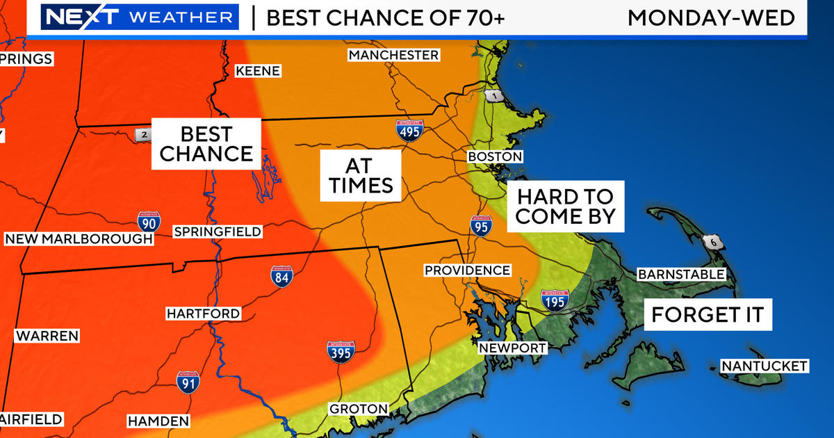
The dank and dismal weather will not disappear today for sure. The moist air is in place thanks to a weak system that released some light rain across the area last evening. The feature was forced to turn southeastward by a block out over the Atlantic. Consequently, we are situated in calm, damp air with no way to scour it out today. The result is a low overcast with spotty mist and varying amounts of fog across the area. Nevertheless, the temperatures will be running about a half-dozen degrees above the average for January 12 with highs ranging from the upper 30s in northern Worcester County north and west to the middle 40s around Boston to the upper 40s over southeastern MA and Cape Cod. As this is happening, there is very warm air streaming over us aloft but there is no mechanism to mix it down to the surface in the next 18-24 hours but there is some slight hope for tomorrow. After lots of fog and spotty mist tonight with lows in the middle 30s to lower 40s, there should be some improvement by midday tomorrow as the lower level wind becomes southwesterly and some very slight drying occurs. Therefore, I cannot rule out a bit of brightening some places in the afternoon when temperatures could rise to the upper 40s to middle 50s. If bright sunshine developed in the morning, some record high temperatures in the 60s would be established in the afternoon. Right now, that seems impossible except for Mount Washington where a summit high of 47 would eclipse the old record of 41. Last Sunday night, I predicted that this Sunday's temperature in Boston MIGHT tie the record of 63 set in 1932. At that time, it was unclear if moist air would spoil the warmup. In any event, the temperatures will be more than a dozen degrees above the average. At Gillette Stadium, a kickoff temperature around 50 is anticipated under a mostly cloudy sky with a light south-southwesterly breeze at 5-15 mph.
It will remain mild tomorrow night with lows in the upper 40s. A cold front will be approaching from the west and is destined to pass through the Boston area during midday on Monday. There is a risk of a few scattered showers Monday morning with clearing and windier weather to follow during the afternoon. The temperatures will max out near the middle 50s before cooling begins in the afternoon. As a wave of low pressure scoots off the Mid-Atlantic Coast Monday night into early Tuesday, a shield of clouds will pass up over the region with just a low chance of a touch of light rain or snow mainly south of the MA Pike. Another wave will pass farther south of our region early Wednesday so it could start partly to mostly cloudy then turn sunny by midday. Temperatures will be return closer to the average for mid-January on Tuesday through Thursday with highs in the upper 30s to near 40.
Looking ahead, the expanding arctic chill across Canada is eventually going to enter the forecast for the Northeast. It's just a matter of time before some of this frigid air spills into the Great Lakes and Northeast. A bundle of very cold air plunged from western Canada all the way down into the southwestern states in the past few days. It was in the middle 20s in Phoenix and teens in Albuquerque with subzero air over most of the intermountain region into the northern plains states this morning! Meantime, it will warm up to the 60s in the Ohio Valley to the 70s in the Carolinas to about the middle 80s in Florida this afternoon. Presently, it appears that an arctic cold front will be barreling across the Great Lakes late Wednesday then across New England on Thursday yielding scattered snow showers and a few snow squalls. A piece of the arctic air will rush in after the frontal passage late Thursday into Friday then it lifts quickly out of the region next weekend. Long range indicators point to the arctic chill reloading just north of the Great Lakes then blasting into that area and ours the following week. The magnitude of the cold is highly dependent upon the steering currents. It is too early to know if it will be a direct, harsh hit or just a glancing blow. Whatever the case, right now, there are no solid clues of any snowstorms in the next week or two!
For the skiers, shredders and snowmobilers, conditions remain decent up north on most trails and slopes. It's always great to receive a fresh snowfall but nothing seems to be in the works at this time. Snowmaking will resume next week. So go up and enjoy packed powder and loose granular primary surfaces. At the various resorts, some of the glades and non-snowmaking trails are not open. Always be prepared for thin and changing conditions on some of these areas. The good news is that the wind will be relatively light on the mountains except on some of the highest peaks where 15-35 mph gusts will occur. Please be safe and courteous on the trails and slopes and take a few runs for me!
Melissa Mack delivers her latest WBZ AccuWeather Forecast later this evening and I will be on duty all day tomorrow.
Enjoy the weekend and GO PATS!


