Enjoy It While It Lasts
Despite a spell of mild weather for the next couple of days, the global weather pattern is evolving into a scenario that would tap a huge reservoir of frigid air expanding across Canada. The conditions will become more favorable for yanking some of the arctic air into the Northeast in the weeks ahead. One intrusion after another is quite possible from mid-December into January. Many of the global factors in play this season were aligned in the analog year of 2003-04. Record-breaking cold occurred in January 2004 in the Northeast. It was the coldest January in 50 years! The very cold, dry air was victorious and most of the storms developed too far offshore. Could that happen again this season? While nothing can be completely etched in stone, it seems quite clear to me that this winter will end up being much much colder than last winter. Slight shifting or reorientation of the Greenland Blocking will dictate if rapidly intensifying ocean storms close off closer to the coast and blitz us with a couple of heavy snow events. We shall see. Presently, there is a potential storm on the horizon for the first half of next week but it is too premature to be comfortable and confident of its specifics. The odds favor rain with that one followed by the capture of a big chunk of arctic chill.
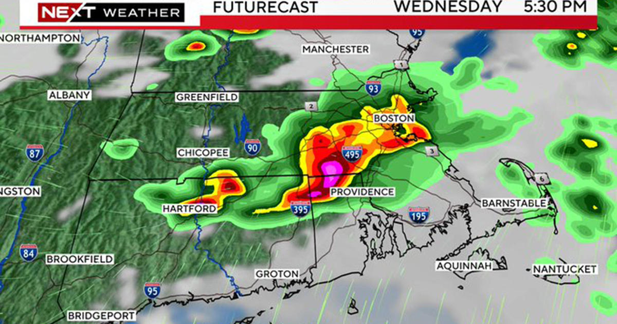
In the more immediate future, some mild air will spoil us as temperatures rise into the lower to middle 50s tomorrow and middle to upper 50s on Tuesday. While the temperatures struggled to steadily rise near and northwest of Boston today, they surged to 55-60 over most of southeastern MA! It will be a mild night with some fog in spots and rain showers crossing much of the region. A cold frontal boundary will pass offshore around dawn and clearing will follow during the morning commute. With the return of sunshine, it should be quite pleasant as a bubble of high pressure passes through. The next cold frontal passage occurs Wednesday morning. It will be accompanied by another swath of showers and they will shift offshore in the afternoon enabling clearing to occur. A stronger ridge of high pressure will build southeastward toward New England making for a brisk and cold but sunny Thursday as temperatures barely touch 40. The next wave of low pressure will track northeastward into the region later Saturday producing a few hours of rain. There could be a ribbon of snow on the northwest fringe of this precipitation shield. After that, we'll be watching the jet stream for clues about just how harsh it might be later next week and the rest of December into January.
BTW, you have through December 31st to enter the WBZ 2012-13 Snowfall Contest.
Melissa Mack delivers her latest WBZ AccuWeather Forecast in the morning and Todd Hutner follows later in the day.
Make it a great week!


