Thunderstorms, Torrential Rain Coming Wednesday Morning
BOSTON (CBS) - Since last Sunday we have been in an incredible stretch of sunny and dry weather.
We have had more sunshine and deep blue skies than perhaps any other week this calendar year.
Check: Current Conditions | Weather Maps | Interactive Radar
Over the last 9 days Boston has had just .12 inches of rainfall and that came mainly at night.
Unfortunately, we are in the final hours of this amazing fall-like stretch of weather.
A cold front currently in the upper Midwest is about to link up with an area of low pressure coming out of the Gulf of Mexico right over New England. This coming together of weather systems is going to produce some dramatic weather in our area in the next 24 to 48 hours.
During the day on Tuesday clouds will be thickening and some renegade showers out ahead of the system will bring rain mainly to western New England.
We will actually feel some humidity for the first time in a long time as warm, moist air streams up all the way from the Gulf of Mexico.
Most of the day will remain dry in eastern areas as the actual cold front will just slowly approach from New York State by sunset. Winds will strengthen out of the south in the afternoon and may gust up to 40 mph.
By midnight, some very heavy downpours will be located in central Massachusetts and by dawn on Wednesday they will likely be in the vicinity of Boston.
There will be some torrential rainfall and perhaps some embedded thunderstorms along with frequent gusty winds out of the south.
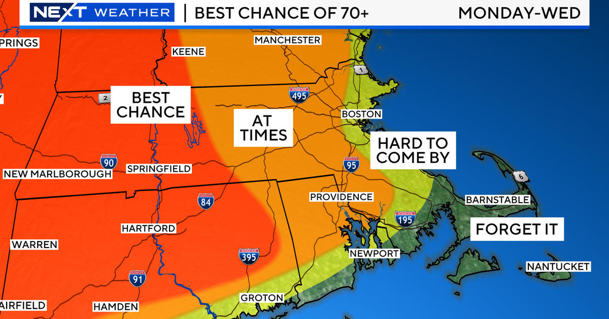
Rainfall amounts will be 1-3 inches, leading to the potential for some localized street flooding just in time for Wednesday mornings commute.
During the day on Wednesday the line of showers and storms will slowly exit southeastern Massachusetts and Cape Cod and then stall somewhere just offshore.
This front will be the focus of additional showers and unsettled weather from time to time through the end of the week, so its position will be critical.
If it should stall close to the coast it would likely mean clouds and more rain particularly in southeastern Massachusetts and coastal sections.
Right now, most weather models keep the inclement weather just offshore later this week, but it will be such a close call, if you have outdoor plans on Thursday and Friday you will need to stay tuned to updated forecasts.
You can follow Terry on Twitter at @TerryWBZ.


