A Hot One...
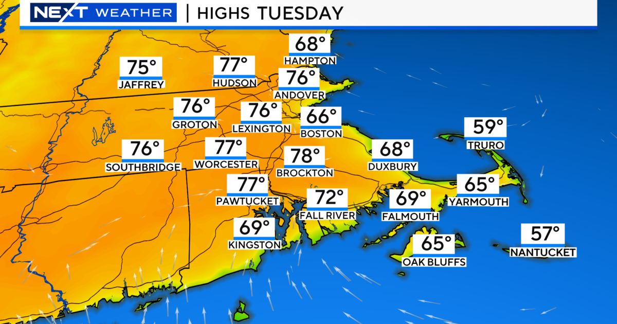
Temps dipped into the 50s and even some 40s in the suburbs this morning but warmed nicely into the lower 80s during the afternoon. That trend will continue again tomorrow but highs will top 90 for most as heat surges in for one day. Gusty WSW winds ahead of a coldfront will shoot temps into the lower 90s for the 12th time this year in Boston and only the second time during the month of August. Despite the heat, humidity levels will be relatively low so it will be more of a dry heat...much more tolerable. Late in the evening, a coldfront will sag down from the north...there won't be much moisture to work with but the lift associated with the front may be enough to trigger a stray storm or two late in the evening.
The front will travel south of the region by Saturday morning and more seasonable air will replace it for the start of the holiday weekend. High pressure will accompany highs near 80 so look for ample sunshine. That high will slide off to the east for Sunday and Monday keeping the coast coolish with onshore breezes and highs in the low to mid 70s. There will also be quick moving shortwave trough at the mid-levels on Sunday this will promote some diurnal cumulus cloud formation. The trough will exit the region by Labor Day but clouds from the remnants of Isaac will begin spilling in later in the day.
Speaking of Isaac, it continues to weaken as it moves farther inland the westerlies will be picking it up shortly and usher it east. It will have lost most of its punch when it gets to us but an advancing upper level low and surface front will work with all remaining moisture to produce potential heavy downpours Tuesday into Wednesday of next week.


