Delightful Days Ahead
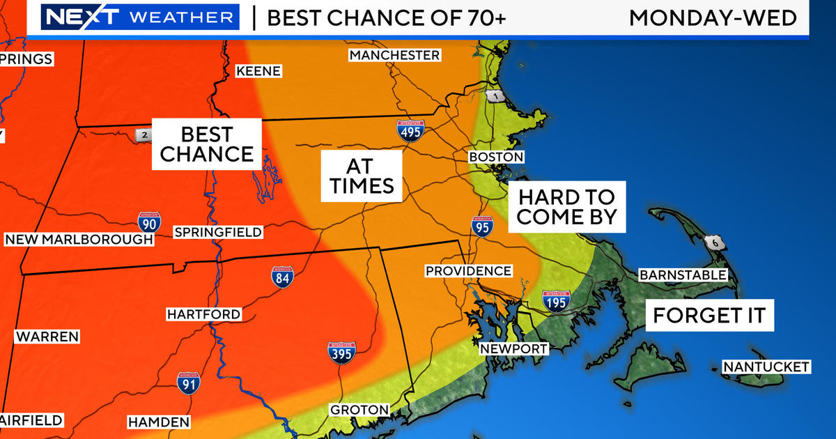
After enduring this uncomfortable, sticky air for the past few days, we will be served refreshments tomorrow in the form of invigorating dry air. The dew points will drop precipitously tomorrow morning. They will dip from 70-75 degrees overnight to 65 by dawn to about 50 by 2-3pm tomorrow! How sweet is that? Just think, we'll be able to simply walk around the yard without perspiring. This wonderful low humidity will linger into Wednesday morning then the air will start getting muggier again later in the day with two sticky days on Thursday and Friday followed by another burst of refreshing air next weekend. For this air mass to change tomorrow morning, a frontal passage is necessary. Prior to its arrival, we will be vulnerable to 1 or 2 more broken bands of showers and thunderstorms of non-severe intensity. Atmospheric parameters are not set up to generate any wild weather and that is a good thing. In fact, some areas may only get sprinkles or no more rain at all tonight. It's just another case of hit and miss. Any downpours will be short-lived as the showers move swiftly across the region. Today's brisk south-southwesterly ventilating wind will blow into the night and decrease a bit then shift to west-northwesterly with the frontal passage around dawn in the Boston area. Today's maximum temperatures exceeded 90 degrees in some areas across Middlesex County and Essex County of MA into Rockingham County and Hillsborough County of NH and they will still rise back to the upper 80s in those and most all other areas tomorrow because the air isn't all that much cooler behind the front. Any remaining showers will exit Cape Cod by 8-10am as the storm clouds exit. Residual streamers of feathery cloudiness may plume up over the region during the day which would filter the sunshine. That high cloudiness will recede southward later in the day. Get ready for a couple comfy nights for sleeping tomorrow night and Tuesday night when temperatures decline to the middle to upper 50s outside the larger urban centers.
Looking ahead, it will become partly cloudy Wednesday afternoon with more clouds than sunshine projected for Thursday as the next weather maker shapes up in the Great Lakes and Ohio Valley. This system will churn into NY and pull moist air into the Northeast for an outbreak of showers and boomers on Friday. As a low center deepens in southern Canada later Friday, its cold front will sweep across the area Friday night into early Saturday. Its attendant batches of showers will shift offshore Saturday morning and another mass of dry air will swoop in to satisfy us next weekend. If all goes well, a week from today will be splendid with plentiful sunshine and highs in the lower 80s. This is just in time to view the annual Perseid Meteor Showers at peak next Saturday night and Sunday night.
Two tropical storms are swirling but there is really no threat from either "Ernesto" or "Florence". In fact, Florence, located way out over the Atlantic is destined to die while Ernesto may strengthen into a minimal hurricane and bear down on the Yucatan Peninsula in a few days. We shall see. For more info, logon to the National Hurricane Center.
Melissa Mack delivers her AccuWeather Forecast in the morning and I shall return later in the day subbing for Todd Gutner all this week.
Make it a great week!


