Rain On The Way!
Twelve of the past 13 months have featured above average temperatures.
Check: Current Conditions | Weather Map Center | Interactive Radar
The last 5 months have been much much warmer than usual and now April is following in that same path.
How long will this pattern linger?
Well, the latest ENSO discussion from NOAA suggests that LaNina has weakened and will transition into neutral conditions going through the spring. Beyond that, weak ElNino conditions are projected to develop this summer and last through the fall. This all translates into an eventual cool down.
Overall, I am expecting this summer to be cooler than the past two. This does not mean that there will not be any hot days. The frequency and intensity of the hot days will be reduced.
Last July was the second hottest July on record with 10 days at 90 degrees or higher which exceeded the average number of 6. On July 22, it reached 103 degrees which tied for the second highest temperature ever recorded in Boston! That should not happen this summer.
I think that we are in for an average to slightly below average summer which makes me happy. It will not be as cool or wet as the summer of 2009.
Meantime, this year has been extremely dry so far with a precipitation deficit approaching 8 inches!
With changing global factors, some improvement in the current drought situation is anticipated. Check out this seasonal drought outlook from the Climate Prediction Center of the National Weather Service.
The good news is that the drought is unlikely to intensify. If all goes well, there could be a decent drought-denting rain event here in New England later this weekend. Details to follow.
In the meantime, we will enjoy a couple of beautiful sunny days through tomorrow.
Early this morning, a bank of high and mid-level clouds is receding southeastward across MA and RI. Sunshine will take over and the temperatures will max out in the lower 70s except along the coast where lighter sea breezes than yesterday will restrict the rise to the upper 50s to middle 60s.
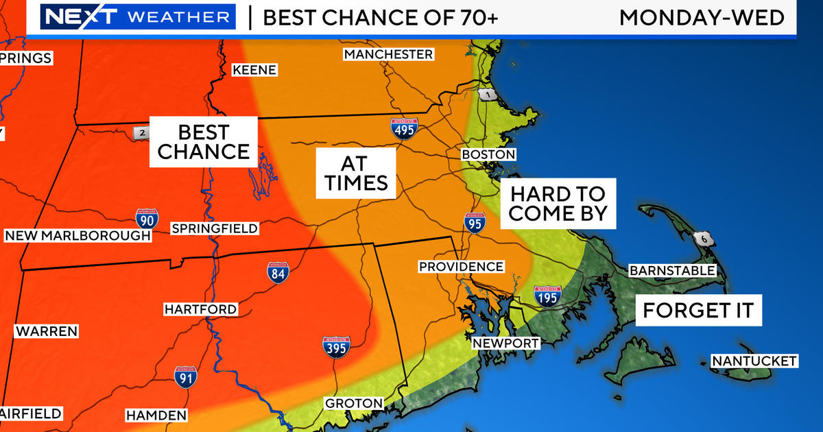
After a drop to the middle 40s to lower 50s tonight, it will warm up to the middle to upper 70s tomorrow except closer to south-facing coastal areas where 60-65 is more realistic. The southerly wind will freshen to 12-28 mph. As this is happening, a cold front will be advancing eastward from the Ohio Valley/Great Lakes tomorrow then across NY/PA Saturday.
This frontal boundary will produce a swath of showers and thunderstorms and some of this action will break into western New England Saturday night into Sunday morning.
Thereafter, the forecast hinges on a package of energy diving southeastward from the upper Mississippi Valley. If it evolves into a potent closed upper level low pressure system, a rapidly intensifying surface storm east of Delmarva will yank deep layer moisture from the tropics and we end up with a soaker to the tune of perhaps 2-4 inches.
That would be so sweet to cut down the fire danger, replenish the reservoirs somewhat, quench the thirst of our lawns and gardens and temporarily kill the pollen count.
This forecast is not etched in stone just yet but the potential is building. Slight shifting of the moist conduit is probable but I am buying the solution of the more reliable prognostic model and hoping it verifies. The surface storm is projected to churn into southern New England late Sunday then wrap northwestward into NY by Monday morning.
Increasing east to northeasterly winds may approach gale force Sunday night with a veering to southerly over southeastern MA. As a result, there could be some minor to perhaps a few pockets of moderate coastal flooding Sunday night.
Leftover showers migrating amidst the storm circulation will linger into Monday. Subsequent forecast cycles in the next 24-48 hours should offer a more defining resolution of this impending beneficial rain.
Todd Gutner will provide an updated scenario later today.
Make it a great day!


