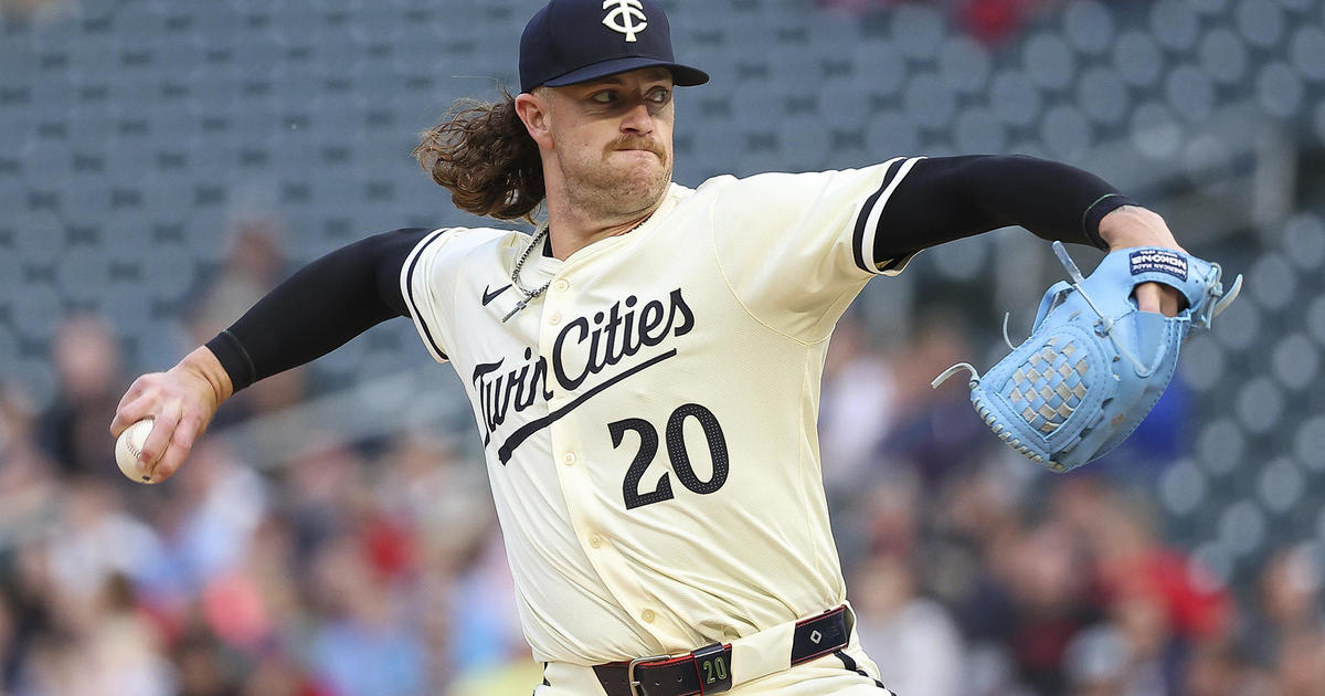
Red Sox & The Great Race
After yesterday's showers of rain, hail and spotty lightning, the holiday weekend will be kicked off in fine fashion today as a stable atmosphere provides plentiful sunshine and a nice warmup. Temperatures will double from the morning mins of the lower 30s in the suburbs to the afternoon highs closer to the middle 60s. That's close to perfection for the Home Opener at Fenway Park as the Red Sox host the Rays. Check out the WBZ Weather Team 4Casts on NESN starting today! The west-northwesterly breeze will blow at 5-15 mph. The pollen count will be ramping up again after the recent wet weather. With a zone of high pressure building southeastward toward the Mid-Atlantic region from the Great Lakes, beautiful weather will be created in the Northeast. Eventually, as the ridge of high pressure elongates south of New England, the clockwise flow means a southwesterly wind for us tomorrow through Monday. This translates into soaring temperatures later in the weekend. Following another cool night tonight with lows in the middle 30s to middle 40s, it will warm up to near 70 tomorrow as sunshine yields to some increasing high cloudiness in the afternoon. This is in response to an approaching warm frontal boundary which could spark a few spotty weakening showers tomorrow night. This boundary will push through the area on Sunday and may trigger a few more spotty showers or boomers as temperatures rise well into the 70s.
Following the frontal passage, the core of the warm air mass will pass right over the region on Monday. This is very upsetting for many of the participants in the Boston Marathon because temperatures will climax in the upper 80s in eastern MA in the afternoon. What a shame because it has been such a wonderful training period for the runners through the winter as they had high hopes for some terrific times on the course. With the staggered start times for the runners, temperatures will be ramping up through the 60s into the 70s as the morning progresses with lower 80s likely by noon and middle 80s by 2pm and that is dangerously hot for running hard! I predict 88 degrees in Copley Square and Logan Airport at 4pm! That will be Boston's new record high temperature for April 16 surpassing the 84 set in 2003. It will also be the hottest day since August 19 last summer when the max was 88. The last hot Boston Marathon was on April 19, 2004 when it reached a max of 86 degrees. The hottest occurred on April 19, 1976 at 94 degrees! Fortunately, the humidity will not be extreme this year but the dew points will be rising well into the 50s to be classified as moderate. Expect a freshening ventilating southwesterly wind to 12-25 mph and that will be a tail wind for much of the race. There will NOT be a cooling sea breeze as the runners approach Boston. You can watch the Great Boston Marathon on WBZ-TV. Sunshine will be prevalent and hot on Monday but that wind off the water will air condition Cape Cod and the South Coast of New England with highs there in the range of 65-70.
Looking ahead, a cold frontal boundary will push into western New England Monday night then slowly shift to the coastline Tuesday morning. Presently, it appears that there will not be much support for any showers with that front until an upper level disturbance arrives Wednesday. Hopefully, some of that rain will be beneficial to alleviate the drought conditions. After lower 80s on Tuesday, it will be in the cooler 60s Wednesday and Thursday.
Make it a great day and GO SOX!