Snow Drought Continues
Where is the snow? Many folks are ecstatic about the snow drought while others are extremely disappointed. The reality is that there are years when very little snow does fall. This looks to be one of them unless a monumental change in the weather pattern occurs in the weeks ahead. Last winter's snowfall was about double the average and most if it fell in 5 weeks! That occurred during a La Nina which still exists in weakened form this winter. The significant difference is that there is virtually no blocking from Greenland westward. Signs of sudden stratospheric warming should eventually lead to at least shorter intervals of blocking later in January and February. On the other hand, a boost in solar flux and the absence of high latitude volcanism this winter will favor less snowfall. The anomalous early snowfall before Halloween was actually a clue that the season could be a dud. Statistics reveal that almost all autumns with premature snowfalls lead to seasonal snowfalls that are below to much below average. December has been almost snowless with only a trace in Boston which ties with the years of 1899, 1927, 1953, 1957 and 1973. There was not even a flake of snow in Boston in 1999. For Worcester, this month's 0.3" will likely tie with 1892 for the least snowy December. Additionally, warmer than average Octobers and Novembers turn into snow drought seasons. The trio of September, October and November 2011 turned out to be the warmest meteorological fall on record. Novembers more than 1.5 degrees above average yield much below average snowfall. This November was more than 5 degrees above the average! Thankfully, this warmth reduced our home heating requirements and that has continued into this month. In fact, December will enter the record books probably as the warmest or second warmest in most New England locations especially southern sections. Consequently, the conclusion is that snowfall this winter could be as much as 50% below the average season! I was concerned about this in early November when we were required to issue our winter forecast. IMO, it is extremely important to study the various factors through much of November before delivering a winter outlook. With all of this said, snow lovers, there are always exceptions to the rule so keep the faith and THINK SNOW. Everyone else can just rejoice that winter has been just a breeze- so far.
For the rest of the year, expect bright sunshine today although a few streamers or filaments of feathery clouds may be seen mainly this afternoon. After feeling like 10-15 drees this morning, the thermometers will reveal highs in the lower 30s this afternoon when the chilling wind decreases down to 15 mph or less. Under increasing cloudiness tonight, it will cool off to the 20s with a light breeze. A warm frontal boundary will move into the region tomorrow creating much cloudiness, limited filtered sunshine and just a risk of a brief snow flurry or sprinkle. It should warm up to the middle to upper 40s and that temperature will be repeated on the last day of 2011. A somewhat meatier low pressure system will cross the region on that day producing a few rain showers primarily in the morning with some light snow over the northern mountains. This feature will exit enabling clearing later in the day so it should be partly cloudy to mostly clear with a brisk westerly wind with temperatures falling into the 30s on New Year's Eve then near 32 in most of the suburbs and about 36 in Boston as we ring in 2012.
Looking ahead to the start of the new year, it will be mainly sunny most of New Year's Day morning with increasing cloudiness following in the afternoon. So the weather should be decent with temperatures in the upper 40s for the Pats as they host the Bills for a 1pm kickoff at Gillette Stadium. A brief batch of light showers will shift eastward across the region late Sunday and Sunday evening. The rain will turn to snow showers in the western and northern mountains. An amplifying jetstream pattern will tap arctic air in Canada and yank it down over all of the eastern U.S. next week. Temperatures locally will tumble through the 30s on Monday then struggle to reach 20 degrees on Tuesday and fail to exceed the teens on Wednesday then rise to the upper 20s for highs a week from today. Despite the arctic blast, there are no snow storms in sight.
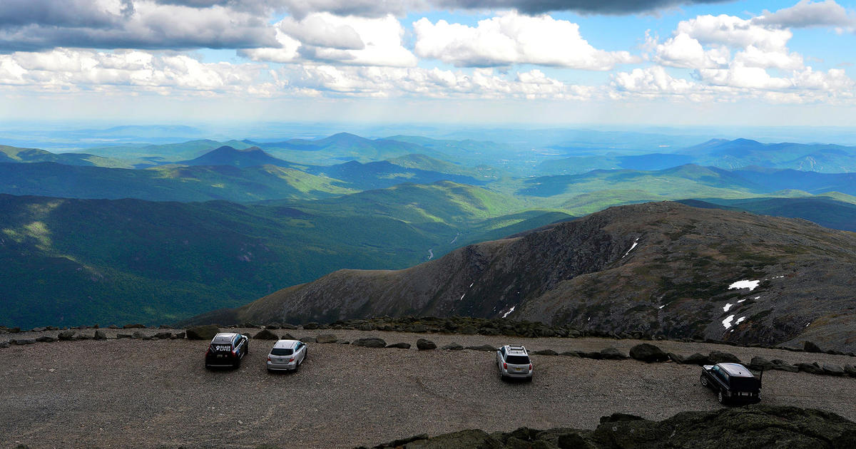
For the skiers and boarders, a blockbuster snowfall is desperately needed but none is foreseen through next week. There will be some snow showers or periods of mainly light snow with a few spotty bursts of heavier snow over the northern mountains tomorrow and Saturday then again late Sunday, Sunday night and Monday. Thanks to snowmaking, more slopes will be opening up but available terrain will continue limited. Unfortunately, most of the glades and the nordic trails will remain closed. Remember that skier traffic will be restricted to a smaller number of slopes thus more hard-packed and icy patches can develop. Be prepared for changing conditions. Be courteous and safe on the slopes. Wear a helmet!
Todd Gutner delivers his AccuWeather Forecast later this afternoon and evening.
Make it a great day!