Unreal
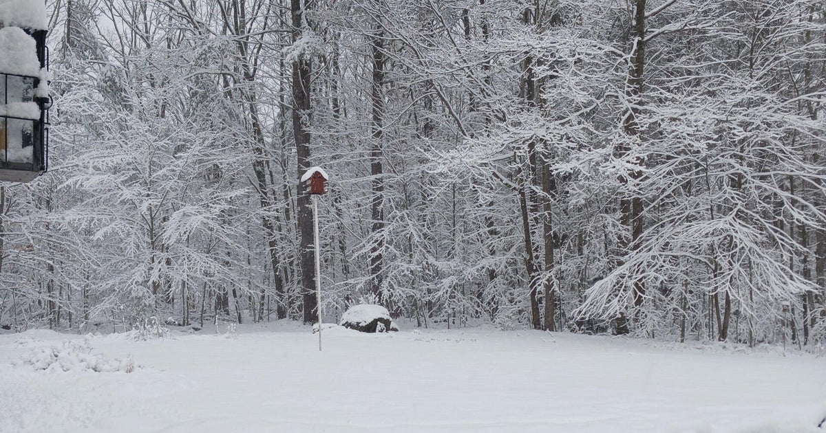
It was another great day of sledding, tubing, snowshoeing, snowmobiling, snowboarding and skiing for lots of folks. I had a fabulous time blazing new cross-country trails in a neighboring expanse of rolling abandoned farm meadows. It was sweet! Us snow sports enthusiasts have been richly rewarded this year. Winter can be conquered by getting outside and enjoying what Mother Nature has to offer. With that said, there is a flip side to all of this. There are obvious limitations leading to concerns going forward. Snow removal budgets have already been surpassed in many communities and available space for more snow is becoming precious. Productivity in businesses and schools suffer. Additionally, some rooftops will be more vulnerable to collapse with added snow loading.
The weather pattern remains amazingly active and the latest guidance makes my eyes pop out! The next system will give us a one-two punch and perhaps even a knockout. The inital phase commences after the Tuesday morning commute. Snow will be light to moderate from late morning into the mid-evening hours due to rather strong isentropic lifting. The potential exists for 3 up to 5 or so inches of snow from this mechanism. A weak stable wave of low pressure may transit along a warm frontal boundary south of New England. As the wave exits and the lifting weakens, precipitation should become lighter in the form of occasional light snow or snizzle or freezing drizzle Tuesday night. Phase two materializes Wednesday morning when the precipitation shield from a more significant storm arrives. This storm is currently a disorganized trough of low pressure in the Rockies. Its upper air support will dive and deepen toward Texas resulting in storm formation over the lower Mississippi Valley. A rich moisture supply will be grabbed from the Gulf of Mexico and some severe weather will be breaking out in the Southern States with heavy snow for parts of the Plains States into the Midwest where Chicago could recieve a foot Tuesday night! The primary storm will advance into the Ohio Valley then run into resistance from an entrenching arctic high pressure system in Quebec. Thus, I would expect energy translation to a secondary storm forming off the southern NJ coast. This is an important key to the forecast for us because the high should supply plentiful cold air especially at low levels while milder moist air is lifted over the top. The upper level system associated with this is not nearly as intense as the previous system but the available precipitable water is high and sufficient dynamics will exist to crank out a potential of 1-1.25" from the second system. Average rain/snow ratios of 1:10 would yield 10-12 inches of snow if it was all snow. In the colder air farther north of the Mass Pike, with a higher ratio, I would not be surprised to see more than a foot of additional snow. In summation for Boston, I currently believe near 4" is probable on Tuesday then at least 8-10" on Wednesday with some sleet and a brief period of rain possible in the middle before the coastal front collapses southeastward. In a zone from northern Connecticut into northern Rhode Island across northern Bristol County and northern Plymouth County, it is a tougher call with the potential contamination from sleet and freezing rain. Consequently, at this time, I would knock down these amounts to the 6 possibly up to 9" range. Over southeastern MA westward along the rest of the South Coast, greater warming may produce a mix to rain. As the developing secondary storm tracks out just south of Cape Cod, colder air will be drawn southeastward so a switch back to all snow should occur everywhere Wednesday night but a decreasing tempo suggests only a couple up to four inches are possible over southeastern MA on the back side. Interestingly, this secondary storm will not strengthen into blockbuster storm and its central pressure will not be that impressive. Nevertheless, there will be a decent pressure gradient between that storm and the ridge of cold high pressure over Quebec. Gusty winds are anticipated but nothing fierce so the 11:10pm Wednesday scheduled high tide of 9.3 feet should not be enhanced to create coastal flooding. Only minor splashover is possible in the most vulnerable locations. I feel relatively comfortable with the snowfall forecast for Tuesday. The Wednesday prediction is still outside our 48-hour rule so confidence is lower with those projections. Slight flucuations in the thermal profile over the region will produce a different scenario in some zones. Subsequent forecast cycles in the next 24 hours should be more defining.
Looking ahead, another shot of cold air rushes in for Thursday with any early light snow or flurries ending followed by some sunshine with highs in the lower to middle 20s. A zone of higher pressure will provide a nice sunny Friday with temperatures recovering to the lower 30s. After that, the models are advertising another coastal storm threat next Saturday but it is purely speculative at this time.
Melissa Mack delivers her latest AccuWeather Forecast early in the morning and Todd Gutner follows later in the day.
Good luck this week!