A Few Flakes...
I personally didn't see any but flurries were reported in several towns today and there are a few snow showers skirting the South Coast this evening associated with some weak upper level energy and surface convergence. No accumulation will occur but there will be some icy spots due to slight melting today and refreezing. Also, some ice fog may form as temps dip into the teens and upper single digits in some outlying suburbs.
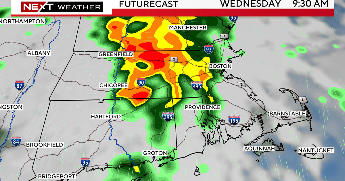
Another "Clipper" system is diving through the Lakes right now and it is a little more potent but the track of the vort max should slide south of the Pike so while there may be some coatings up to an inch...the best chance for that is south of Boston.
Next week still looks promising for another large storm system to develop as a piece of energy breaks away from its parent low in the Southwest...this energy will lead to a surface low that will strengthen along a baroclinic zone through the Nation's Mid-Section. This low will eject to the Northeast and will be running into some very cold air. The track is still in question in fact one of our most trusted models is trying to shove a little warm air in but with the deep Northeast snowpack and arctic air preceding the storm if we do get the warmth it would likely be above ground level and icing would be an issue...otherwise snow is likely precip type.
Have a good weekend all....