Tropical Downpours Break The Heat Wave On Friday
Find Eric Fisher on Twitter and Facebook
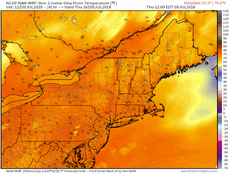
The end is nigh! For those who have sweat out their own body weight over this 7-day heat wave, we're about to break the heat and humidity with a sudden swoop of fresh air. As you might expect, the transition between the two will bring storms and downpours - a combination of welcome rain but also hazardous travel for a time on Friday.
(Graphic: WBZ-TV)
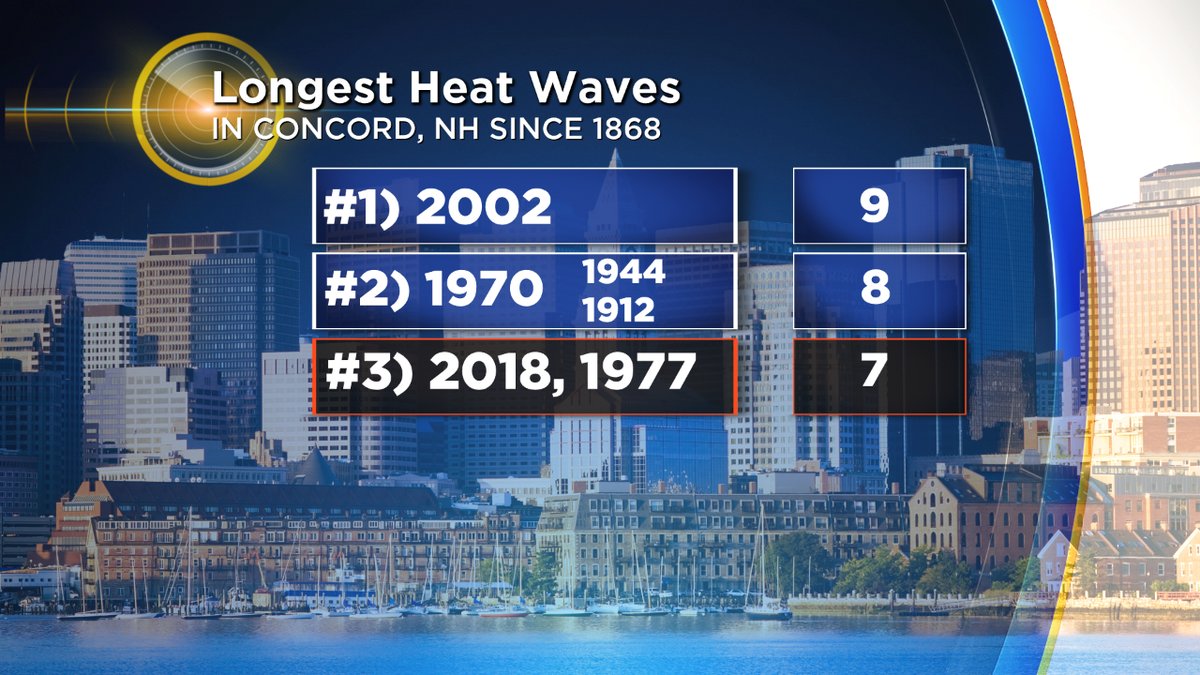
Was this heat wave unusual? Well, it was up there with some of the doozies. Inland areas saw 7 straight days of temperatures 90 degrees or hotter. In places like Concord, NH this tied the 3rd longest heat wave on record.
Burlington, VT went 6 straight to tie their 2nd longest on record while also notching their warmest all-time low temperature, 80F. Mount Mansfield in also tied their warmest all-time temp *twice* this week at 84F. Lake Champlain broke a record for warmest water temp on the 4th of July, 72F.
Mount Washington, NH tied it's all-time warmest low of 60F on July 2nd (King Street Ferry Dock).
Montreal, Canada set their record for all-time hottest temperature ever recorded at 97.9F. We've definitely seen some notables.
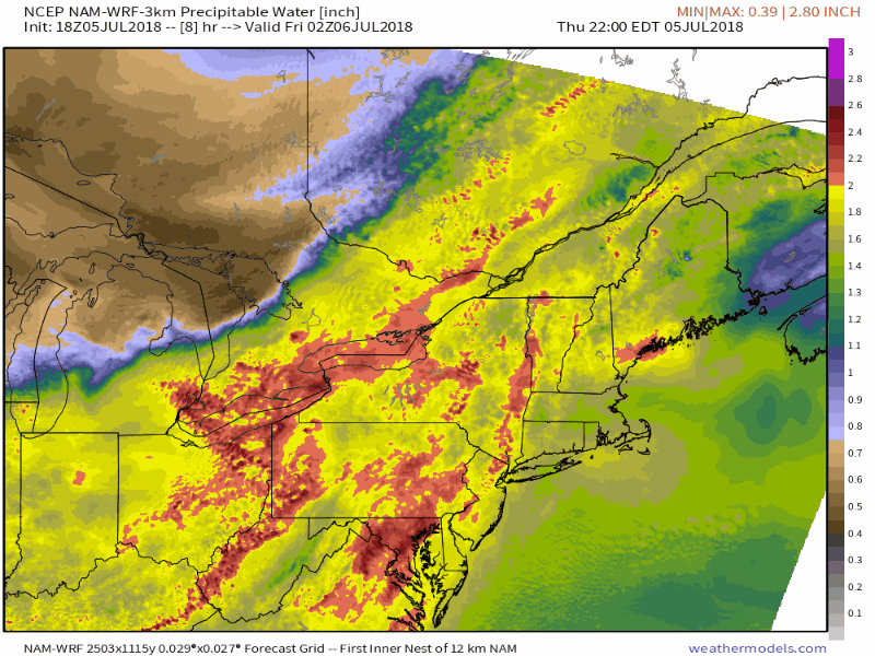
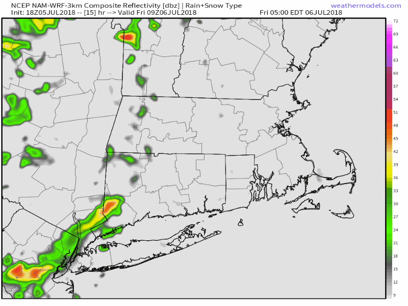
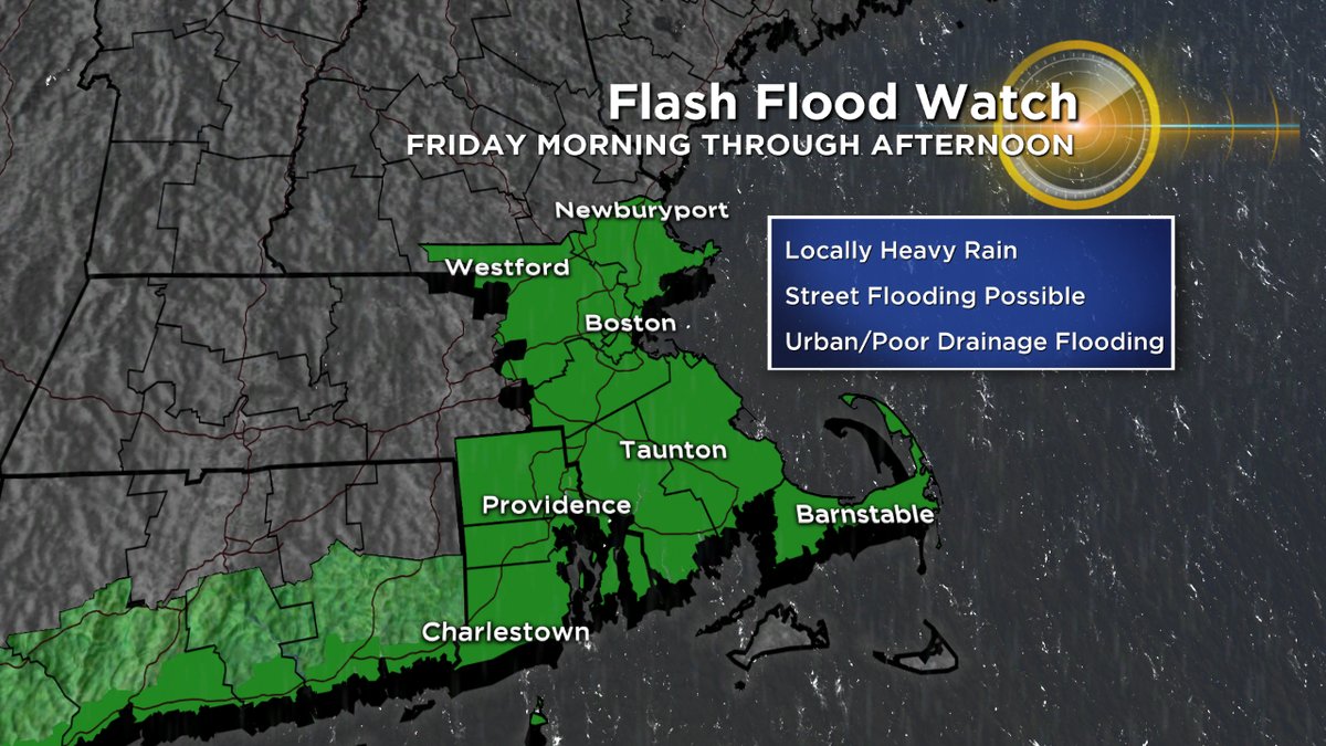
On Friday, it comes to an end as a strong cold front slices through the region. Showers and downpours will begin breaking out as early as the 5-8am time frame, especially for interior areas. But the majority of the action looks to be along the front between 11am and 5pm from west to east. This front will help capture and focus a plume of very tropical air and so the main threats look to be torrential downpours causing street and urban flooding. This looks most likely for the Boston-Providence corridor and points southeast, including the usual trouble spots of New Bedford and Fall River. Rainfall rates in any of the downpours/storms that develop could be in excess of 2"/hour, so travel with caution during this time frame. Roads could easily (briefly) flood out.
Will we see severe storms (gusts 58mph+ and/or 1"+ hail)? Right now it looks unlikely but not impossible. The early arrival of the front and a lot of cloud cover should keep things from getting too unstable. But a couple isolated severe storms with damaging wind gusts can't be ruled out, especially toward SE Mass.
For those around and west of Boston, skies will clear out by early evening and will make for a very nice Friday night with late day sun.
(Graphic: WBZ-TV)
How about that relief??? There's about to be a huge crash in dewpoints from the 70s to the 40s! This will feel like chugging a giant class of cold water on a hot day. That air will quickly move into Vermont, New Hampshire, and western Massachusetts by early afternoon, the Boston area around 5-6pm, and Cape Cod by 8pm. Safe to say more than a few people have been looking forward to this as we'll be able to throw the windows open on Friday night and turn off the air conditioners for the weekend.
Humidity will stay extremely low on Saturday and Sunday and so I'd say this is a contender for best weekend of the summer! Highs near 80 and bone dry air on Saturday with full sunshine will make for a 'Top 10 New England weather day' and Sunday is similar, just a little warmer (low to mid 80s). Get outside and enjoy!