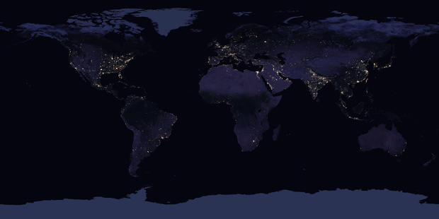
NASA Releases New Images Of Earth At Night
HOUSTON (CBS) – NASA is painting a brighter picture of how Earth is populated by releasing new images of the planet at night.
Scientists say these maps, generated by satellites on moonlight-free nights, are "providing the clearest yet composite view of the patterns of human settlement."
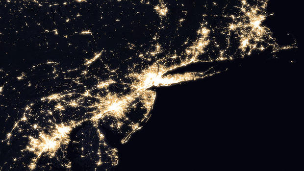
They're not just nice to look at. NASA believes there are plenty of benefits to nighttime photography from space, including tracking power outages after major storms, monitoring unregulated fishing and looking at ways to reduce light pollution.
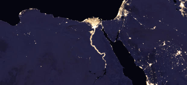
"A team at the United Nations has already used night lights data to monitor the effects of war on electric power and the movement of displaced populations in war-torn Syria," NASA notes.
The space agency makes new maps of night lights about every decade.