A Soaking...
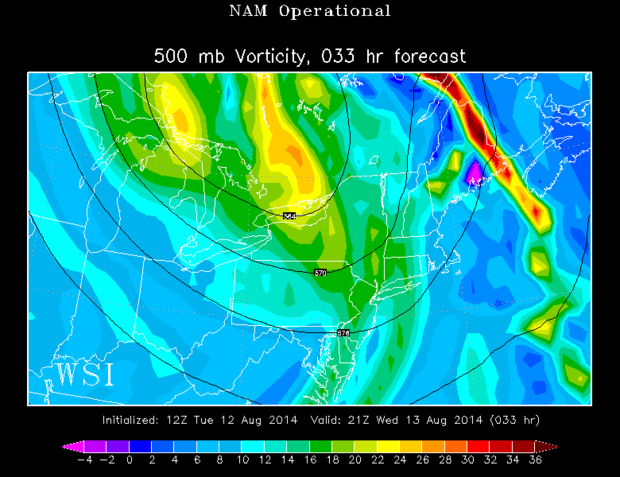
Just three of the first twelve days this month have measurable rainfall tallying a measly .05"...yeah, that's going to change tomorrow. A warmfront will approach from the south tomorrow, energized by favorable upper level dynamics, heavy rain will be the main problem. Scattered showers will break out early tomorrow morning then a plume of moisture will work up from the south and elements of heavy rain will work in midday and during the afternoon before tapering off in the early evening. Rain amounts will range from 1-3 inches and some of the rain will result in flash flooding of streets and streams.
There is also a chance of thunderstorms which could be a bit dangerous with gusty wind if they form and a very small chance of a brief tornado. The thunderstorm threat is highly dependent on whether or not we get some surface warming. The likelihood of that happening is highest in SE Mass.


