Let The Warm Up Begin!
Cold air left over from Friday & Saturday's cold remains firmly in place Sunday morning. Spotty freezing drizzle moved through overnight forming a light glaze on untreated surfaces. A warm front is stationed along our south coast. Dense fog formed across many interiors during the early morning to helped to create areas of freezing fog. Even at 10 AM the reports of freezing drizzle and fog continued across the much of Southern New Hampshire. The NWS has had to expand its winter Weather Advisory until noon because of the cold air refusing to depart.
The warm front will continue to push northward during the day. Northern New England will climb into the 40's by afternoon. Southern New England will be closer to the warmer air. With breaks of sun possible this afternoon...highs will climb into the Lwr-mid 50's. Closer to the south coast and toward the Cape, temps may even try to reach 60 with a few breaks of sun. Still, mostly cloudy skies will dominate the day with light and variable winds shifting to the SW.
Clouds remain in place tonight and advance from the west ahead of a cold front which will give a few showers from west to east between 7 PM and midnight. Most showers will diminish in intensity toward the coast and should not amount to more than a tenth of an inch.
Behind this cold front, after a few early morning clouds Monday, high pressure will build with a light WNW wind. This will bring in less humid air with slightly cooler temps. Still, with mostly sunny skies highs will be able to climb into the Lwr-mid 50's with the warmest temps south of Boston.
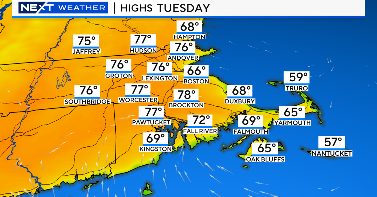
Winds will shift back to the SW Tuesday and temps will again average above normal with highs in the mid-upper 50. A warm front will approach during the day, so I expect increasing and lowering clouds during the afternoon. Clouds with the chance of a few showers Tuesday night into early Wednesday along with a cold front. An upper level trough will quickly swing through and give us a brief shot of cooler more seasonal air to end the week. Wednesday should still be in the lwr 50's before the cooler air settles in. By Thursday, highs will only be in the 30's and lwr 40's with breezy cool Northerly winds with building high pressure.
We will hold onto the season's fair weather through Friday before our next weather maker moves in Saturday in the form of rain. A wave of low pressure will ride along a stalled front south of us. The rain could end as a burst of snow especially in the NW hills as the low pulls away.
If all the talk of mild is getting you down, have no fear. The December chill will return in stages. A trough is in place across east Asia which teleconnects to some storminess off the east coast around the time of the 10th to 12th. By mid month, the Arctic Oscillation and North Atlantic Oscillation should be trending in negative territory. The forecast is for the cold to be returning back to the Northeast from the 15-30th of December for a colder and snowier pattern to develop. So the chances of a White Christmas are definitely good!


