Rain Moves In For Game Day At Gillette Stadium And Fenway Park
BOSTON (CBS) - It's a big sports weekend in New England. The Patriots have their home opener Sunday afternoon. The Red Sox will hopefully sweep the Yankees in game four of their series Sunday evening. We have had a very dry summer and need the rain, but we all want it to hold off until our teams win!
Here's what you can expect:
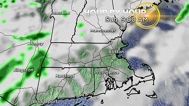
Overnight: Spotty showers develop ahead of a cold front that is sitting to our west. A south wind will help to increase our humidity and keep temperatures more mild overnight. Patchy fog develops as we reach lows in the mid 60s.
Sunday morning tailgate: As the crowds gather for tailgating the fog may reduce your visibility. It will be a muggy and warm morning, with a few bursts of sunshine between the clouds as we approach kickoff.
Game Time At Gillette Stadium: Temps soar into the low 80s, humid with a partly sunny sky and a gusty south, southwest wind. Should be dry for kickoff. A passing shower may help to cool you off in the warm and humid conditions during the game. There is a chance for an isolated storm to develop, especially after the game.

Any storm that we see on Sunday could become strong with a gusty wind, heavy rain, lightning, and maybe small hail.
There is enough spin in the atmosphere to produce a brief tornado - but this is a very, very small chance.
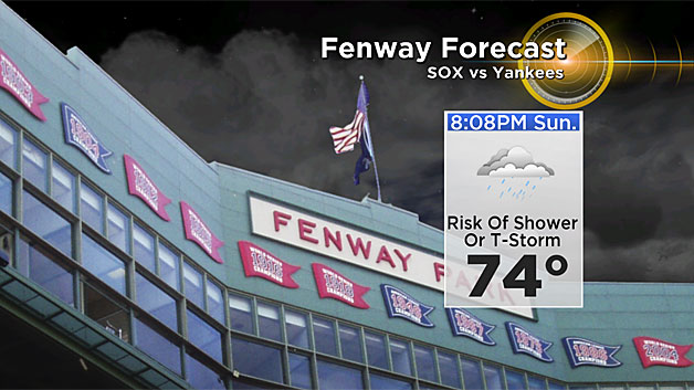
Sunday evening at Fenway Park: Prior to the first pitch, we could see an isolated thunderstorm or shower. By game time, the storms should dissipate and there may be a leftover shower, but we can handle that. It will remain muggy with temps in the mid 70s with a gusty southwest wind.
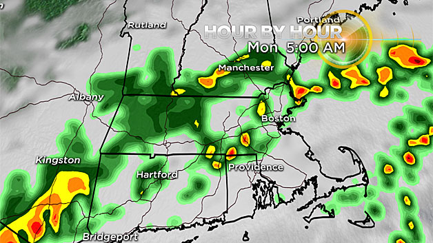
Monday: A couple waves of rain move through. The rain will be more widespread and soaking during the morning commute.
Then possibly another wave of rain in the evening. We could see 1-to-3 inches of rainfall through Monday night.
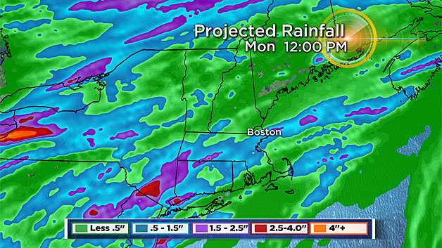
Julia is now a tropical depression off the southeastern U.S. coast. Tropical moisture from this system may get transported into New England prior to the cold front passing through Monday night.
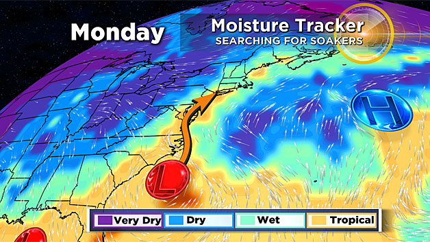
This could help enhance our rainfall totals through early Tuesday morning.