A tropical start to September
Someone asked a question via Twitter (@ericfisher) today - what in the world is a PWAT?
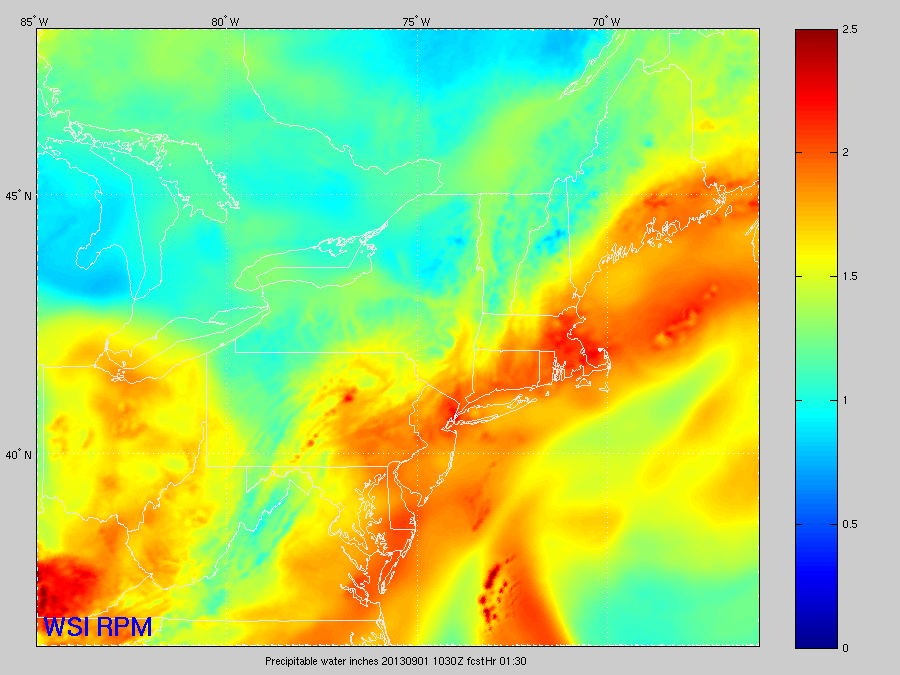
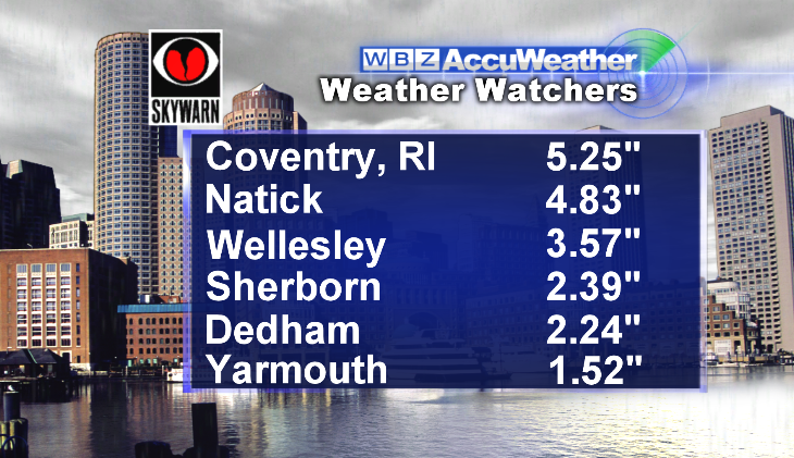
PWATs are a measure of essentially how much water is in the atmosphere over your head at a given time. And today, those PWATs were awful high. Unusually so for September, reaching up and over 2". So when it rained, it POURED. Natick received 2.65" in just one hours time. This lead to the temporarily closure of parts of 128/I-95, and lots of local road closures in addition to that. The only good news with flash flooding is that it typically rises fast, but goes away quickly too. Take a look at some of the totals from around the region today:
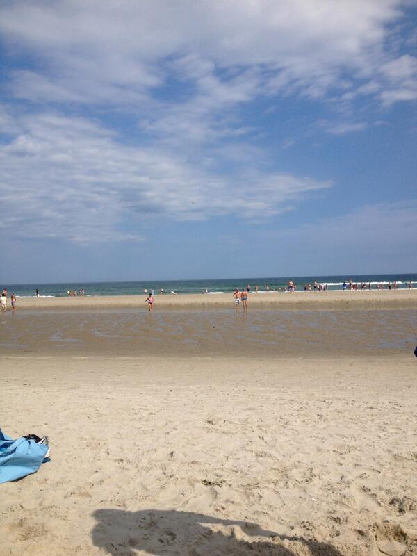
That being said, it was the haves and have nots! While some could have used a kayak to get around town, others not far away were basking in warm, hazy sunshine. Take a look at this photo from Darren in Ogunquit, ME. Perfect!
That leads us to the forecast ahead. The only change for Labor Day itself is that the boundary draped across the region today will lift northward, and so we'll all be in the muck! With a trough digging into the Northeast showers and storms will be widespread throughout the day, with more clouds than sun expected too. Once again, torrential rain leading to localized flash flooding will be the main threat, although some strong wind gusts may reach the surface with any storms that develop. Overall another not great beach day for Southern New England, with mainly cloudy skies, lots of haze, and a gusty SSE breeze.
The front will not clear on Tuesday, which means yet another day with scattered showers and storms. Instability will get a littler higher on Tuesday and there will be a little more wind shear to work with, so severe storms may be possible with hail and gusty winds. The muggy air mass will still be with us, but not for much longer!
That system will leave the coast by Tuesday night, and Wednesday is looking like a literal breath of fresh air with highs in the 70s to near 80 and much lower humidity. However, active weather will be the rule with a quick jet stream rushing across southern Canada and the Northeast. A front on Thursday will bring a reinforcing shot of cooler air (and possibly a brief shower/storm in the afternoon) and another front should arrive by late Saturday with another round of showers.
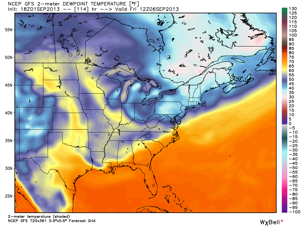
But if you like cool, crisp nights...there's some of that possible too. Dew points are likely to fall back well below the tropical upper 60s to near 70. Take a peek at Friday, for example. Dew points across New England may go all the way back to the 30s in spots...nice, dry fall air! It may also provide us with an overnight in the 40s in MA, but still a bit early to tell for sure.
The tropics are also looking a little more active right now. The National Hurricane Center is monitoring a tropical wave east of the Lesser Antilles, which may begin to develop in the coming days. One model, the GFDL, turns this wave into a significant tropical storm. Many others though, including the operational GFS and ECMWF, do very little with it at all. At current time the more likely solution looks to be the weaker one, but it will need to be monitored. The models which are picking up on it track it toward Hispaniola and eventually Florida by next weekend.


