Winding down August with foggy nights
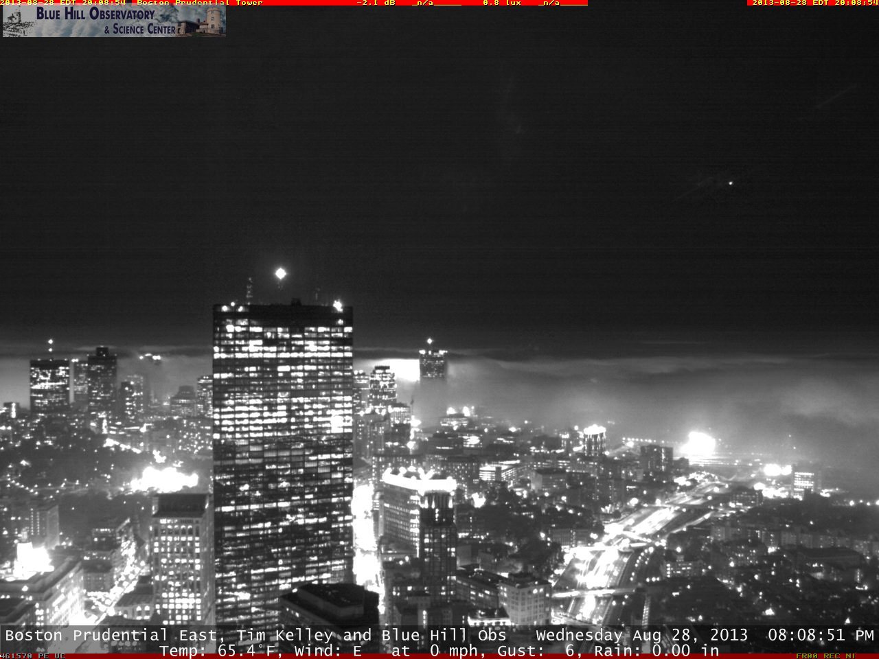
A few inland thunderstorms poured down rain Wednesday, but it was much more 'miss' than 'hit' and foggy conditions will be the main story overnight. From the North Shore down to the Cape & Islands, fog will reduce visibility to <1/4 mile at times. Best to drive slowly when necessary, and remember to use low beams when fog is an issue! Below is a striking screen-grab from the Blue Hills Observatory webcam on the Prudential, looking east at around 8pm. Boston looking beautiful while fog laps along the Harbor edge.
Looking forward, Thursday looks like a repeat performance. Fog will lift (but will take its sweet time along the Cape and Harbor Islands around Boston) and the sun will come out. Some spots along the Cape and Islands may barely manage to break out into the sun. A seabreeze will keep communities near the ocean in the low 70s, while inland towns will make the mid/upper 70s. Again, a few afternoon thunderstorms will pop, mainly in Worcester County and points north & west. Heavy rain will be the main threat with any storms.
Friday our pattern shifts a bit and the area will stay dry, with pleasant temperatures topping out near 80. Again, a seabreeze will keep temps cooler at the coast. Overall, a nice way to kick off the holiday weekend and our last hurrah of summer! Speaking of, warmer air will try to nudge toward us for the whole Labor Day weekend. Highs in the 80s and increasing humidity will be the rule. Storms will fire to our west, and for now I'm being optimistic and thinking most of them will stay west of Worcester. We'll have to keep a close eye on that to see if anything changes.
A cold front is scheduled to swoop in late Monday, which will bring storms to end the holiday weekend. The front will be sluggish to leave on Tuesday, but behind it will be a pleasant blast of crisp air!


