Unprecedented Early-Season Heat Possible
Find Eric Fisher on Twitter and Facebook
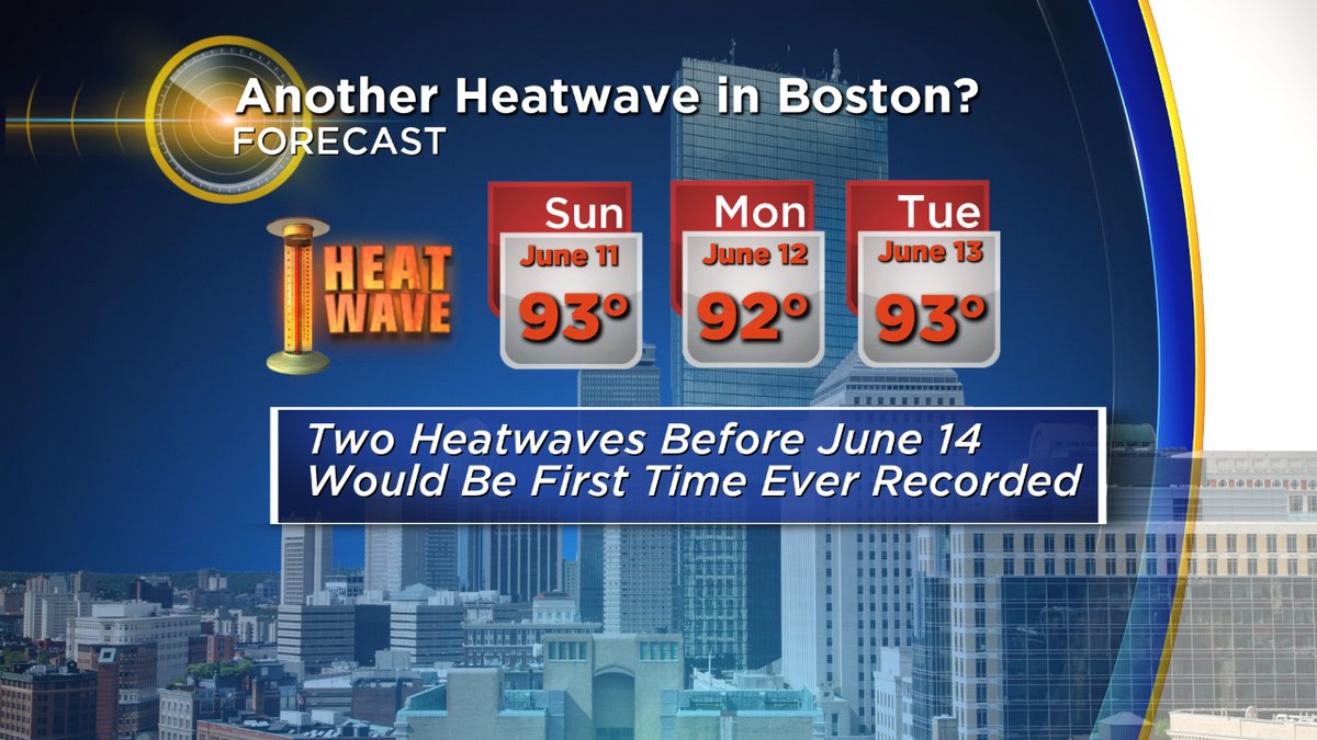
Two heat waves before mid-June? In Boston, it's never been done before (dating to 1872)
Remember the early June gloom? You won't by the start of next week. A little while back we talked about the oddity of this year - that we've set many more heat records than cold ones even though the majority of days have been cool and damp. While the cool ones outnumber the warm ones, the hot days have been *really* hot. I passed a co-worker the other day who asked how much colder than average we are for the year in Boston. He was shocked when I said we're above! Unusual warmth in January, February, and April has outweighed the chill of March, May, and the first week of June. By next week, we may notch yet another heat record in the battle of ups and downs. And if it's a heat wave, we'll do something that hasn't yet been done before in Boston.
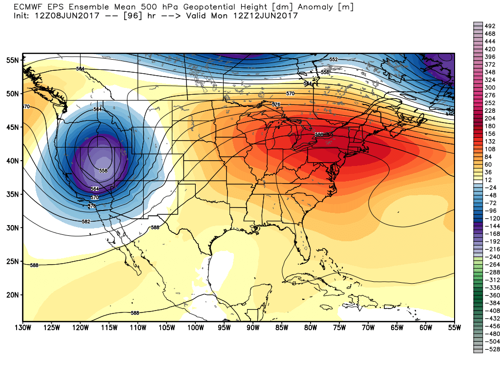
What's driving it? Instead of being mired in a series of upper-level lows spinning over the Northeast stuck in a deep trough of the jet stream, things are reversing. An unusually strong jet stream dip is moving into the west, while a ridge gets pumped up here in the east. This is a pattern that looks to stick around for a while, so we're not expecting a 2-day flash in the pan before returning to cold and wet.
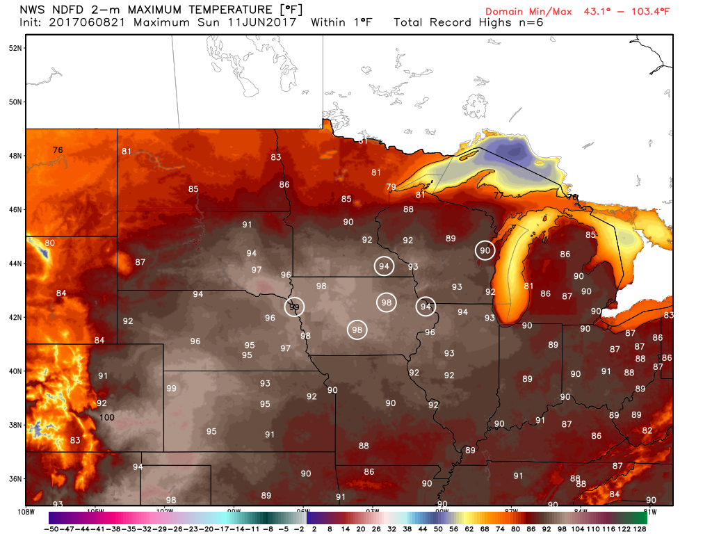
This very warm air originates in the middle of the country, where scorching record heat is expected this weekend! As that air advects (moves) east, we'll rapidly move to pure summer and hazy, hot conditions. It begins to pour in on Saturday, with highs topping 80 degrees. That's not unusual for mid-June but will feel quite warm after the past couple of weeks. A weak disturbance moving through will build clouds up for a time Saturday afternoon and perhaps will manage to pop a few thunderstorms, but severe weather is not expected at this time.
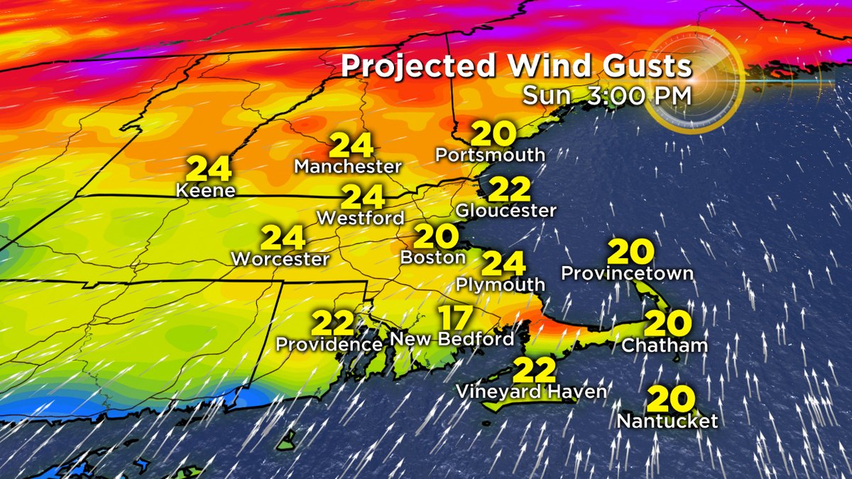
The warmest wind direction for eastern Massachusetts is a west wind, which will gust to 35mph at times on Sunday. A more southwesterly wind will provide some heat relief across the South Coast, Cape and Islands.
Sunday is when we really start to cook. Air aloft around 850mb tops out at +20C. Combine that with a gusty west-southwest wind which can downslope off the Berkshires and Worcester Hills, and we could end up with some really hot readings. I'm shooting for about 94F, but won't be shocked if a few towns around Metro Boston and up toward the Merrimack Valley reach the 95-97F range. The record high for the date in Boston is 98F, and for the moment I think that will be safe.
No big changes for Monday with a very warm air mass in place and continued west-southwest winds. This should again push us over 90 degrees for most of the region (except the Cape/Islands). The record high in Boston is 96F for June 12th, and we could have a shot so long as winds don't turn onshore in the afternoon. You're also going to really start noticing the triple H summer trifecta. Dew points will rise well into the 60s, so we may end up seeing Heat Advisories posted in the region. With schools still in session, plan on a hot day in the classrooms! We've been able to avoid it up to this point but Monday and Tuesday both could be quite uncomfortable in any buildings without air conditioning.
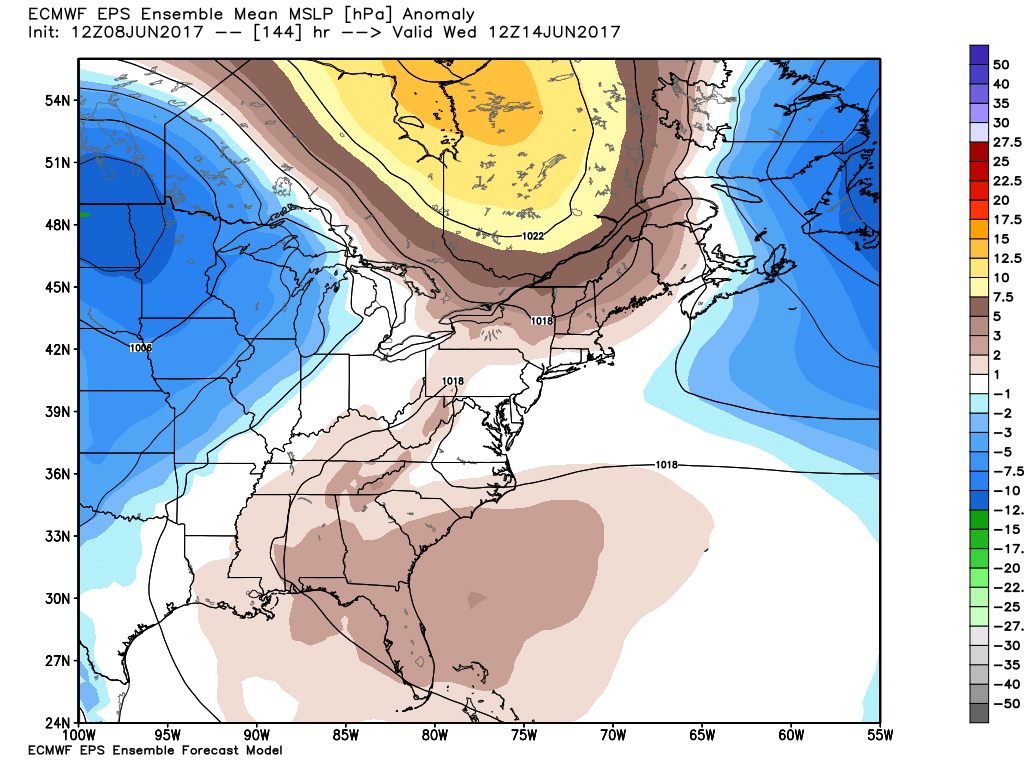
High pressure moving east across Canada will help switch our surface winds from west to northeast and bring cool relief by Wednesday.
Tuesday looks like the final day of the heat, capping off an official heat wave for many towns. Again we should top 90 but we'll also be watching a backdoor cold front sliding down from the north. As high pressure rolls across eastern Canada, it'll drive onshore winds down the coastline. The only question is how quickly it arrives (Tuesday late afternoon, or not until Wednesday). The Euro holds it off later, while the GFS (typically too progressive/fast and performing horribly as of late) is quicker. Leaning hot seems to be the right bet! With the front approaching and plenty of heat/humidity, Tuesday brings our best chance of thunderstorms during this stretch.
So if we get that heat wave in Boston, it'll be the first time on record to get 2 of them so early in the year (the last being in mid-May, when some spots set marks for their all-time hottest May day on record). We've also never seen 6 days topping 90 so early since record keeping moved to Logan Airport in 1936. In my mind, the only thing that would prevent this is if the pressure gradient isn't strong enough Monday and/or Tuesday. Since records are kept at Logan, it's very susceptible to a sea breeze. And if there isn't a strong enough west/southwest wind going, then the wind will swing around off the ocean in the afternoon and prevent the airport from reaching 90. It definitely won't happen Sunday, but winds may be weaker Monday and especially Tuesday. So it could be a photo finish so far as the records are concerned.
A bizarre twist in the year where many are remembering the cool and wet days more than the warm ones!


