Near-Record Warmth On The Way To New England
Find Eric Fisher on Twitter and Facebook
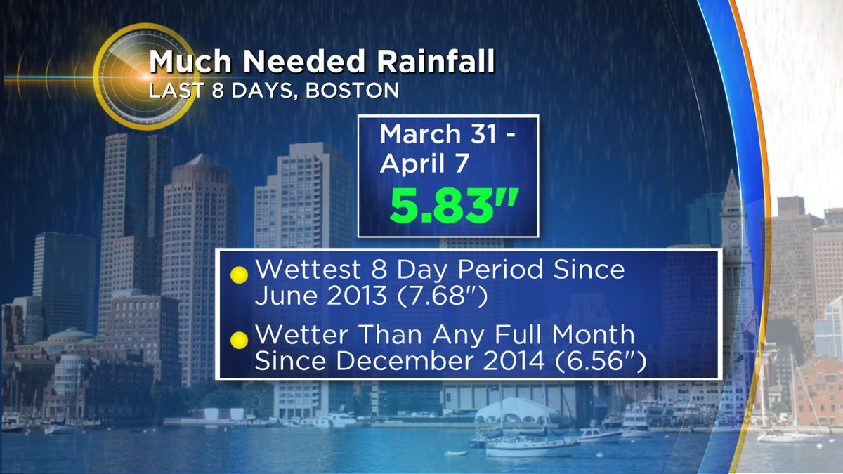
BOSTON (CBS) – Soaking early spring rains? Check. Drought no longer an issue? Check. Red Sox playing baseball? Check. Moving right along the spring to-do list, and next up is blooms and green grass.
We're going to cross those off our list in short order with the warmest air of the season on the way in. I can smell the bark mulch already, and it's delicious (does Yankee Candle have that scent yet or what?). Many buds and blossoms already are feeling the increasing sun angle, and they've just been waiting for a warm stretch to burst forth. This one should do the job.
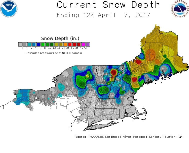
Believe it or not, we've still got some snow melting to do this weekend in southern New England. A thin blanket of it remains in north-central Mass and across parts of the Berkshires, with plenty of snow cover still holding on for much of northern New England. Locally, we'll zap what's left this weekend. Highs in the 40s to near 50 on Saturday will contribute some modest melting, before a more rapid disappearing act on Sunday. By the end of the weekend, there shouldn't be many wintry indicators left. Just mud piles where snow banks once held court.
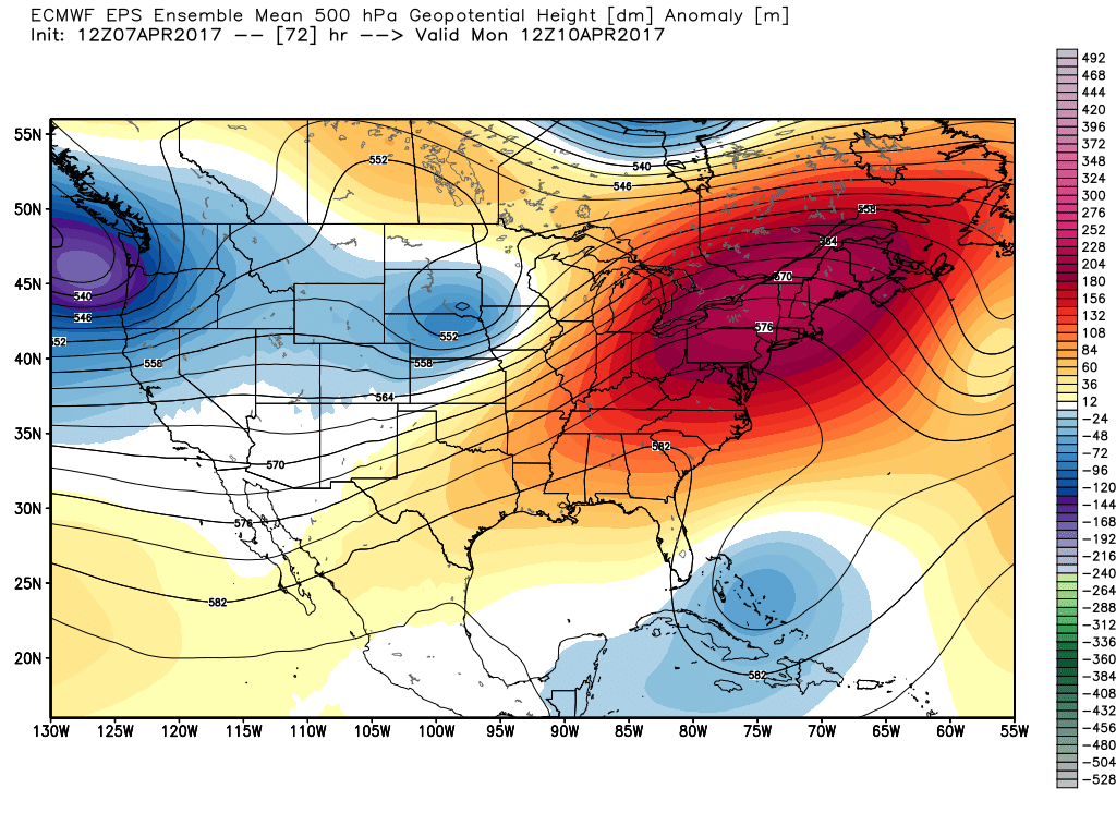
Responsible for the warming weather is a building ridge of high pressure that will crest over the region and allow the mild southwesterly winds to blow. The expected air mass should be enough to challenge some records by Tuesday as we leapfrog spring and head right to summer for a day or so. This isn't a long-term trend, more of a modest stint. So get ready for some full blown spring fever but probably not necessary to put in the AC yet.
Sunday:
High pressure gives us a blend of sunshine and cirrus clouds, along with lighter winds. Most towns should be able to reach the low 60s, with slightly cooler air on Cape Cod and the Islands. Really a quintessential spring day and a great one to spend outdoors after a chilly start. Also a great day to help dry out the ball fields and work on the standing water in many a low spot.
Monday:
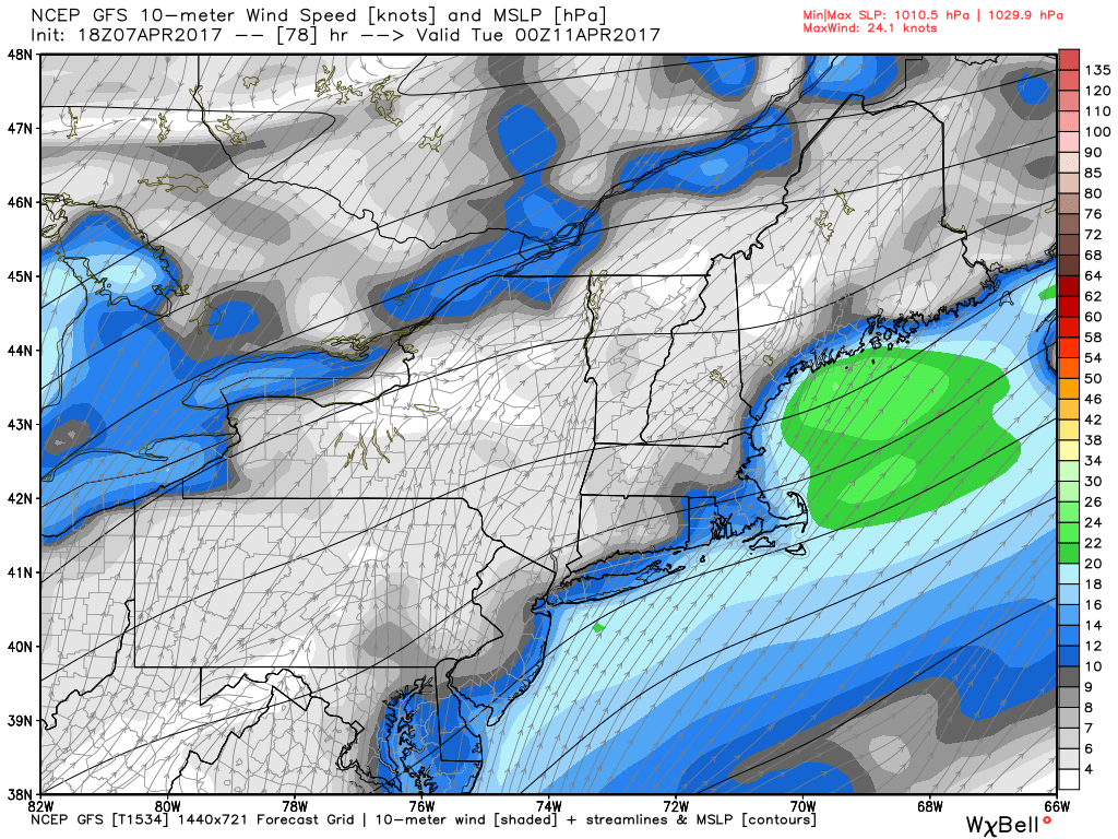
If you're thinking about burning a day off to enjoy the weather, this one is probably your best bet. An increasing southwest wind will pump in the warm air, with widespread 70s likely in the afternoon under mainly sunny skies. The caveat? Southwest winds aren't friendly to the South Coast. You don't need to jump in the ocean to know it's still pretty cold in April! So wind off the Atlantic will keep the South Coast, Cape, and Islands in the 50s with perhaps some low 60s in the more sheltered areas away from the water. The price paid during spring, but the return on investment is cooling sea breezes on hot summer days when the interior bakes. Always a tradeoff!
Wind gusts will likely top out in the 20-35mph range, so don't expect it to be a calm and warm day. It's tough to get many of those in early spring.
Tuesday:
Perhaps the trickiest day of the forecast because there's more on the line. The air mass we'll be starting with is very warm, however a front will be nearby and it's still a little uncertain what the exact cloud cover and wind direction will end up being. If we're west-southwest with the wind and clouds stay more toward northern New England, mid 80s in a few areas aren't out of the question.
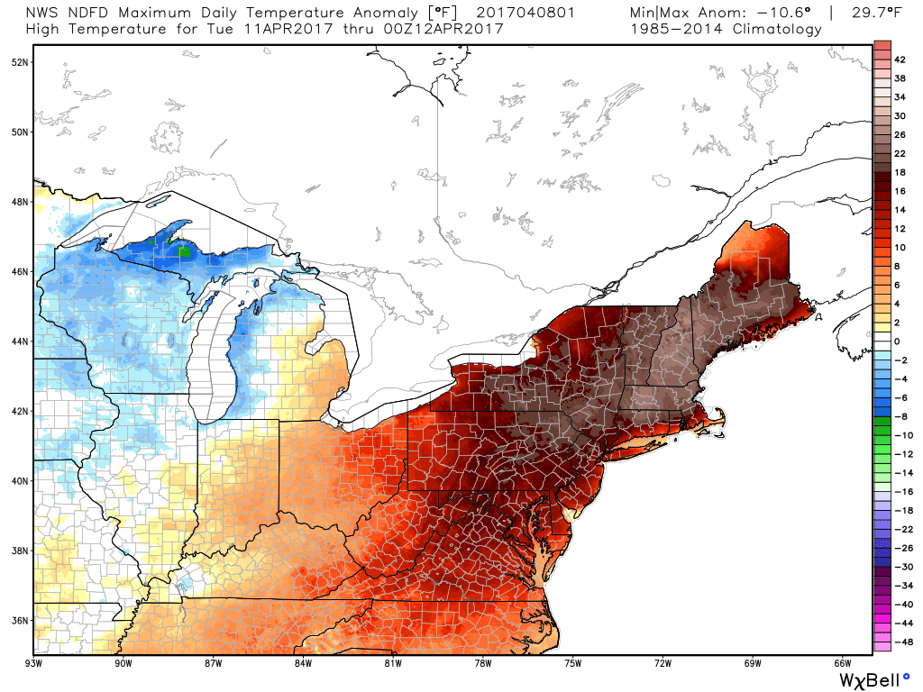
If we're more south-southwest and there are clouds to contend with, 70s is probably the ceiling. Either way it looks quite warm and the boundary to our north looks far enough away to keep cold air out of play locally. The record high in Boston is 78F on Tuesday, so we'll have a decent shot at topping it.
Dew points will be on the rise and should be able to get into the 50s, which would keep any brush fire potential in check. Yes we can still have brush fires after a lot of rain (they are a typical spring issue before foliage comes out).
Wednesday:
Even though a front will be closing in on us or draped over us, we should still end up with a very mild day. If it's just a touch west we'll jump back into the 70s. A little farther east and it may be the 60s. Both above average for this time of year, and we'll likely pick up a few showers and rumbles of thunder to go along with it.
A cool-down follows for Thursday, with much chillier air returning by Friday.