Summery Weather For Vacation Week

Canadian wildfires have contributed to the stunning colorful sunsets lately. Very hot and dry conditions have sparked numerous fires in the Pacific Northwest over the last few weeks. The smoke has been transported by the upper air winds across the continent into the Northeast. The WBZ AccuWeather Team thanks everyone for sharing spectacular pictures. This one is courtesy of Matthew Cappucci in South Plymouth, MA.
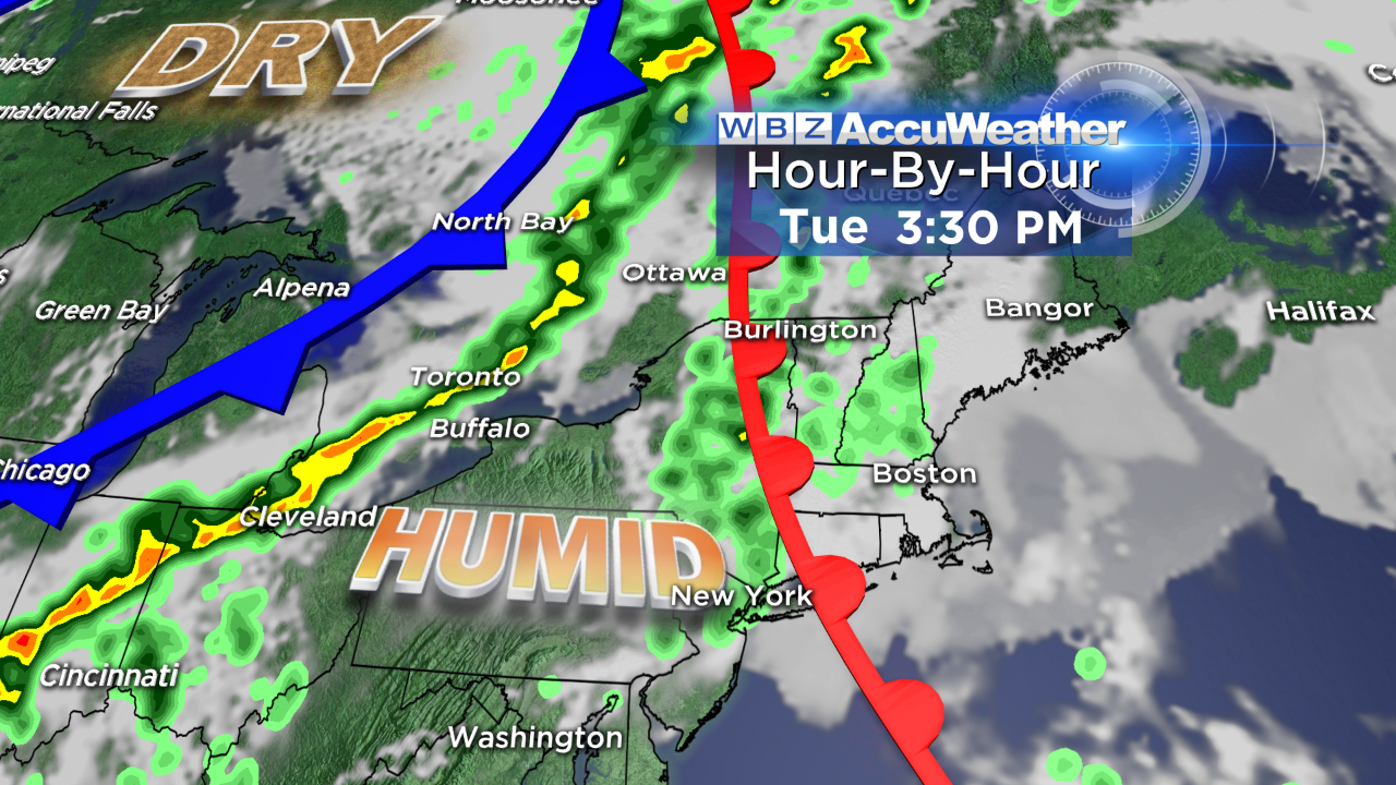 This is one of the biggest vacation weeks of the year and it appears that the weather is going to cooperate for most but not all of the week. Typical July temperatures are on tap with daily highs in the 80s. There will not be any anomalies like the high of 59 degrees on June 28 or the very chilly weather of near 50 in early June. The humidity will spike to the oppressive level Tuesday afternoon into much of Wednesday with drier air to follow Thursday & Friday.
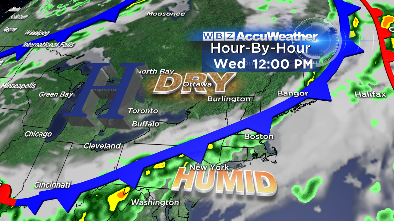 On the other hand, there will not be any heat waves or excessive heat. With that said, there is a chance that the temperature could attain 90 degrees for the first time this year on Wednesday. It is highly a function of the timing of an approaching cold front and its associated convoy of clouds and string of showers and storms. A delay in its arrival linked with more of a southwesterly wind would produce that evasive 90 in Boston. The tardiness of the first 90 is remarkable because, on average, the city's first 90 degrees occurs on June 8. Last year, it didn't happen until July 2 and the season tallied only 8 days at 90 or higher which is 6 less than the average. While there are those who crave stifling heat in the 90s, I believe the majority of New Englanders were very happy with last summer's beautiful weather which featured many delightful weekends. Compare that to the whopping 25 days at 90 or higher in the sizzling summer of 2010. For many, that was a truly miserable, uncomfortable summer that will not soon be forgotten like last winter's intense cold and record snowfall.
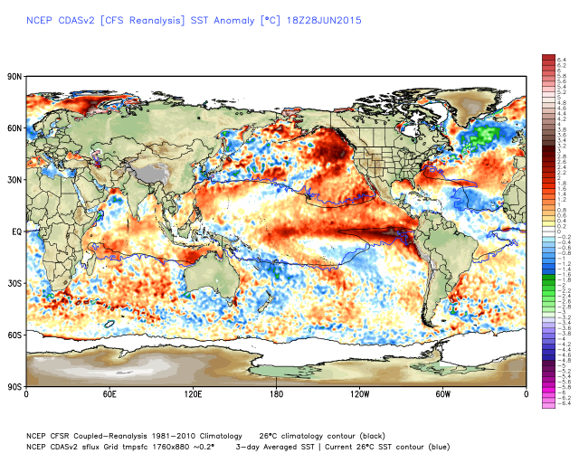
Looking ahead to the rest of the summer, the persistence of the warmer than average water in the eastern Pacific and the increasingly colder than average water in the North Atlantic linked with trends in the Madden-Julian Oscillation and the Southern Oscillation Index, the odds now seem to favor near to somewhat below average mean temperatures for at least the 90-day period of July-September and possibly lingering through much of the fall. That is not etched in stone yet but it seems that the pattern which created our very cold January-March remains locked in due to these relatively stationary pools of warm and cold water in the oceans. Earlier thinking of a possible gradual cooling of the eastern Pacific and more of a ridge of higher pressure building along the eastern seaboard seem less likely at this time. While some bursts of heat yielding perhaps 7-11 days at 90 or higher are anticipated the rest of the summer, long duration spells of 3-H weather are unlikely.
We shall see. Meantime, we continue to watch for the potential of more tropical systems forming closer to the Eastern Seaboard or in the Gulf of Mexico in August & September.
Make it a great week and enjoy especially if you are on vacation.