This Week, This Summer, Next Winter
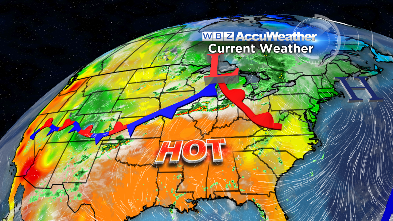 It's all about the cycles of weather and the extremes that create the averages. After a super cold February with a mean temperature of a whopping 12.7 degrees below average, 25 of the 31 days of May had above average temperatures with a mean temperature for the month ending up at 4.4 degrees above average. Then the pattern flipped yielding the coldest first week of June on record in the Boston area. For the first five days of the month, the mean temperature was an astonishing 12 degrees below the average. Well get ready for another flip. The steering currents will shift and escort much warmer air into the Northeast this week. A mass of sizzling air in the south central portion of the nation is destined to produce summery conditions here Wednesday through Saturday. Expect temperatures climbing into the 80s with a few isolated spots nudging the 90-degree mark. We'll be near the boundary of this hot and humid air mass later tomorrow and Tuesday so that may be sufficient to trigger a few spotty showers and boomers. It is possible that Saturday could be the hottest and windiest day if a rather robust low pressure system surges from the Great Lakes to the St. Lawrence Valley. Cooler, drier and windy weather should follow next Sunday.
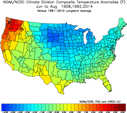
 Can we expect additional drastic extremes going through the summer? That should not happen but, on the other hand, no long-lasting episodes of excessive heat and humidity are anticipated either. The global factors in play favor occasional intrusions of refreshing, drier masses of air flowing in from Canada. Unlike last summer when Boston had no heat waves, the stage is set for at least a couple of heat waves meaning 3 consecutive days of 90 or higher. Locking into a 5-day or longer heat wave seems unlikely under the circumstances. Based upon the present distribution of sea-surface temperatures in the Atlantic and Pacific, overall average temperatures for June, July and August should more or less mimic the summer of 2014 with an added slight bump up in temperatures. Many people have told me that last summer was one of the best in many years. While this May ended up warmer than I had expected, I still think that each of the three meteorological months of summer will be near or slightly over 1 degree above average.
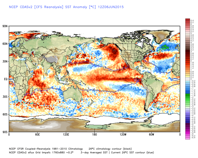
With that said, there is some evidence that analog years based upon present global factors deliver a slightly below average temperature regime for the summer. Modeling suggests that the location of the pools of warm and cool water of the oceans will not radically change from present positions. The eastern Pacific will stay warm in a +PDO and the North Atlantic actually turns colder in a -AMO. These two phenomenon in tandem support a cold and snowy eastern Canada, Great Lakes and Northeast next winter.
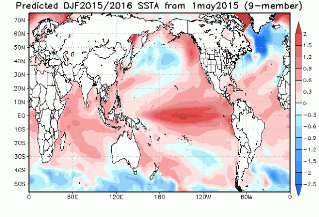 Note the colder North Atlantic, the warm eastern Pacific and the very warm central/eastern equatorial Pacific which is the signature of a rather robust El Nino. This El Nino is projected to be less intense than the Super El Nino of 1997. In the months ahead, we will be monitoring this specific El Nino and the other global factors to determine how they will impact the winter ahead. In the meantime, let's celebrate summer and enjoy!
Make it a great week!


