Batches of Showers and Warmth By Week's End
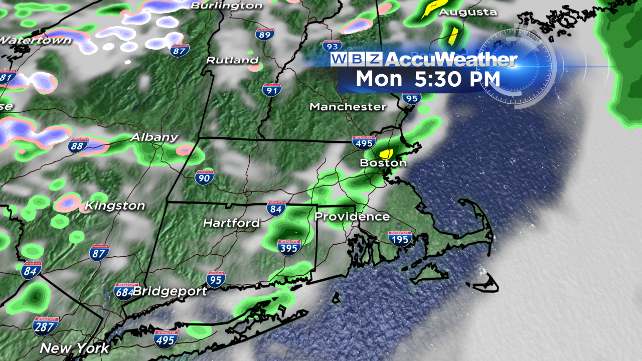
It's amazing what a little sunshine can do to brighten your spirits! A spectacular sunrise greeted many of us Monday morning ahead of cold front set to sweep through the region later on. There have even been some snow showers and flurries around…but little impact on the roads is anticipated with temperatures on the rise. In fact by later on today, you'll want the umbrella on standby. Rain showers develop during the mid to late afternoon and will last into the evening hours. Don't be surprised if it pours briefly for your ride home.
Our next disturbance is right on this one's heels; a fast moving clipper system will slide to our south tomorrow night. While the bulk of the moisture will be out over the ocean, the northern fringe of precip will graze us Tuesday evening and night. Initially, temps will be "warm" enough for rain…but a changeover to snow is possible with a coating of accumulation up to the MA Pike. The storm may be organized enough to produce an inch or two of accumulation along the south coast. I know, not what we want to hear!
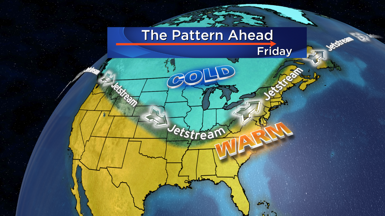
Behind this area of low pressure, bright & breezy weather will follow for Wednesday…but the gusty northwest wind will create wind chills in the low 30s. Looking for warmer temps? You won't have to wait too long. We should rise into the low 50s on Thursday…low 60s on Friday…can we make it low 70s by Saturday? Not this time around. Cooler air will return for the weekend. But we're making progress, slowly but surely :)
-Danielle