Was It A Tornado?
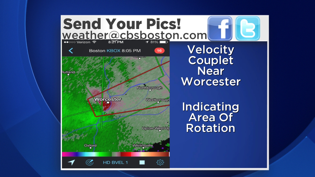
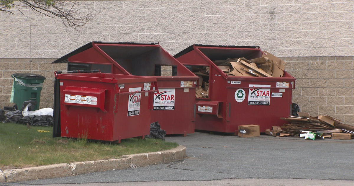
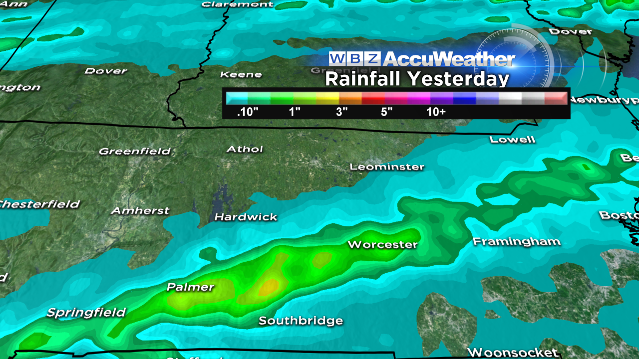
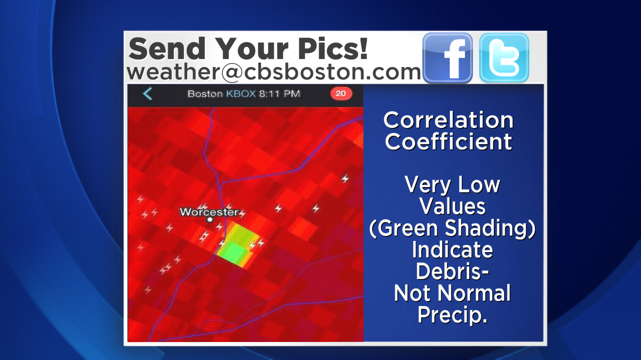 It was a muggy last day of August that featured developing tropical downpours and some spotty lightning. Other than a couple of severe storms over western CT during the late afternoon, it appeared that the lightning and thunder was on the wane early in the evening when suddenly close to a plume of torrential rain, a new cell exploded with numerous lightning bolts from 7:50pm to 8:15pm in the Worcester area. At 8:14pm, the National Weather Service in Taunton issued a TORNADO WARNING based upon radar signature displaying rotation. The left image above at 8:06pm reveals a velocity couplet near Worcester. It depicts inbound and outbound velocities- bright green vs bright red. In addition to detecting precipitation, today's sophisticated dual-pol radar can, amongst other things, detect how the air is moving. Green means air moving toward the radar and red means it is moving away. Thus this velocity couplet near Worcester is revealing rather strong rotation. Additionally, the right image above at 8:11pm reveals low correlation coefficients according to the color designation. These low coefficient values(green shading) means that the radar beam is bouncing off not normal precipitation but instead debris. So the correlation coefficient basically differentiates what is and is not precipitation. Close inspection pinpoints these two parameters matching the general area where most of the damage occurred especially in the Vernon Hill area of Worcester. Many streets here were impassable due to trees and other debris. The National Weather Service has dispatched a survey team to the scene to determine if indeed this rotation touched ground meaning a tornado. We will find out the answer this morning but the signals say yes for a brief spin-up twister in that vicinity. Subsequent scans indicate the rotation was still rather potent approaching Northborough with rapid weakening thereafter. The TORNADO WARNING was cancelled at 8:48pm. Just prior to and following the period of this possible tornado, a swath of gullywasher rain migrated across Worcester County into western Middlesex County. Street and urban flooding was occurring in places. Brookfield, MA received 3.12" and Leicester, MA 3.03" in about an hour!
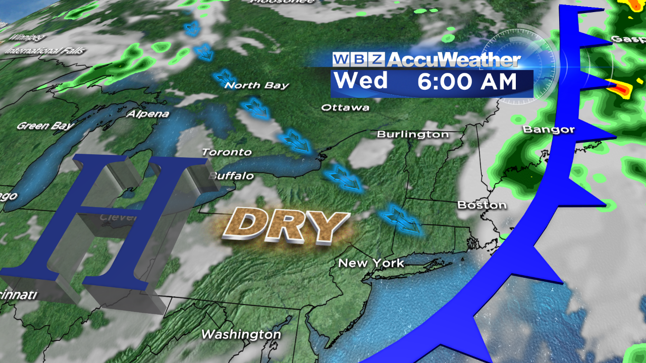
 It became very sticky yesterday and that oppressive to high humidity will be locked in here through tomorrow. With a weakening frontal boundary across southern New England today, it could provide a boundary or focus axis for a few more spotty showers and storms this afternoon. There should be little to no support for any severe weather but some lightning and downpours in a few locations cannot be ruled out. Temperatures will reach the 80s today, near 90 tomorrow and middle 80s Wednesday and Thursday with another shot at 90 degrees at the end of the week. The cold front that passes across the region Tuesday night will introduce much lower humidity for Wednesday and Thursday. So the first week of September will be hotter that the first week of August was! The tide will be high just after 4:30pm today.
 Today is the first day of September and the first day of meteorological fall. On average, the high temperature starts out at 77 then by the end of the month, it is down to 68 degrees. On average, there are two days with thunderstorms during the month with one day at 90 degrees or higher. Last September, there was one of those days on the 11th at 97 degrees! The sunrise goes from 6:09 to 6:40am and the sunset runs from 7:18 to 6:27 with a grand total daylight loss of 82 minutes! The Full Harvest Super Moon occurs at 9:38 pm on the 8th. The autumnal equinox, beginning of astronomical fall, occurs at 10:29pm on the 22nd.
Welcome to September and Happy Labor Day!
You can watch Danielle Niles on WBZ News through 9am as she periodically delivers her weathercasts. I will follow her on the evening newscasts.