Last Week Of August! Really?!
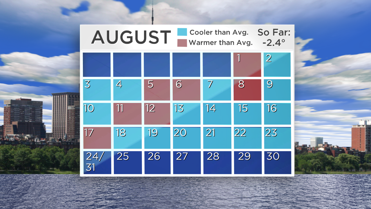
It's the last week of August already! OMG, IMO, this summer has rocketed faster than most others probably because it has been so sweet. While some have been disappointed by the lack of real hot days, I truly have received far fewer complaints this summer until the last week when it has been too cool to enjoy some outdoor activities like swimming, boating and water skiing. This past week has been a very popular vacation week and I think lots of people at the beaches and lakes would have enjoyed warmer weather rather than temperatures being 6 to 10 degrees below the average. Contrary to the 3 previous months that had mean temperatures close to a degree above the average, August has been unusually cool with a mean temperature a robust 2.4 degrees below the average. There have been only 7 days above average and a whopping 16 days below average so far. That will change this week as summer returns while many are preparing for reality to set in with the return to work and school. Those folks that delayed their vacations should be pleased with my forecast for the days leading up to Labor Day Weekend.
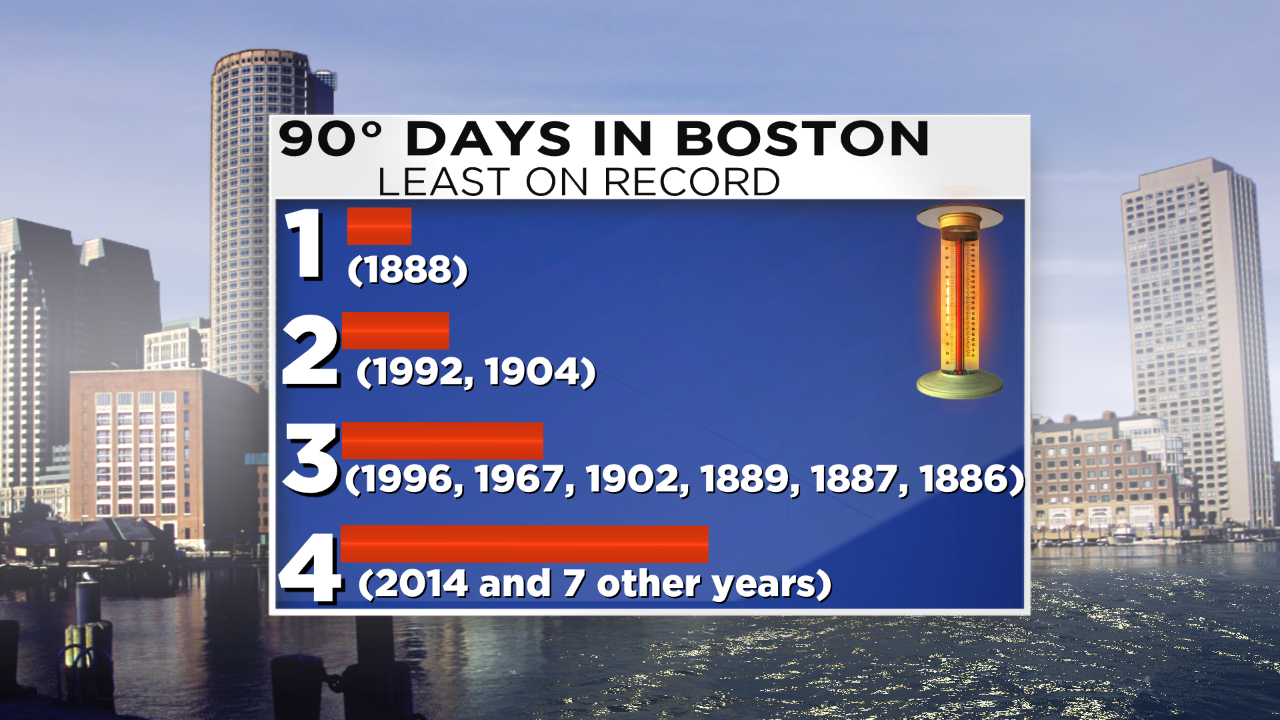 Some of the hottest air of the summer is cresting over the Mid-Mississippi Valley southward to the Southern Plains and the Gulf Coast. A piece of this air mass will stream into the Northeast maxing out on Wednesday to perhaps produce the first 90 degree day of August and the 5th such day this summer. At this point, 2014, for Boston, is ranked in 10th place tied with 7 other years for the least number of days at 90 degrees or higher! If it strikes 90 on Wednesday, the city would jump from 10th to 17th place. That is in sharp contrast to last year's 18 days over 90 and the 25 such days in 2010. If you think that this was the year without a summer, think again. I discovered that 1992 had only 2 days over 90 and all of the months from March through November of that year had mean temperatures below to much below average. July was a chiller with a the mean temperature a shocking 4 degrees below average! The cold summer and following harsh winter was created in large part by the catastrophic volcanic eruption of Mt. Pinatubo in mid June of 1991 which ejected a gargantuan amount of ash particulates into the stratosphere forming a global layer of sulfuric acid haze which dropped the global temperatures into 1993!
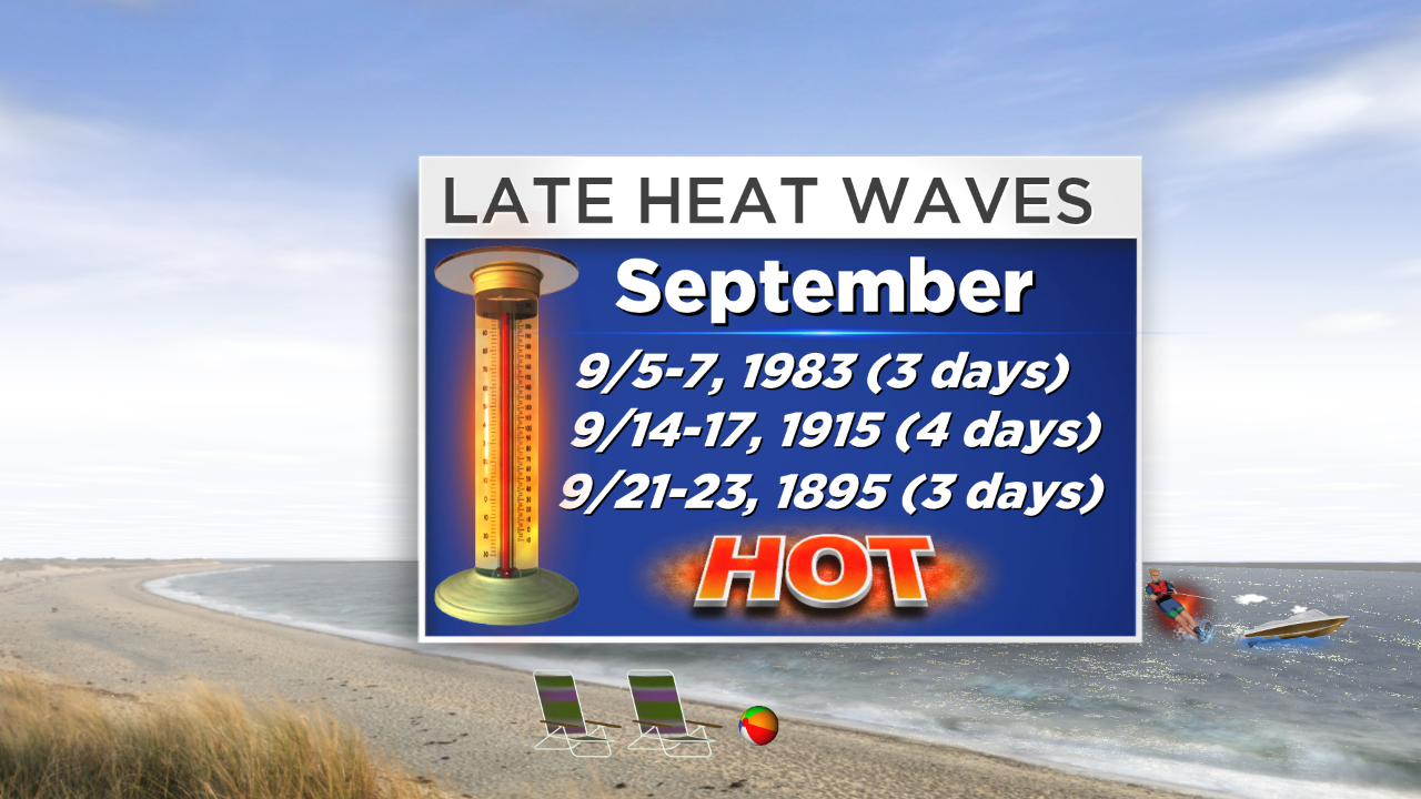 The present pattern is not favorable for any prolonged heat going forward into September and that month is not noted for heat waves with only 3 on record in Boston over the last 140+ years. With that said, September, on average, features 1 day at 90 or higher and I am predicting that we will have 1 or 2 days reaching that sizzling number this coming month. Last September, it hit 97 degrees on 9/11. Despite the cool August we have been experiencing, I wouldn't be surprised to see September copying previous months meaning that it will turn out with a mean temperature a bit above average. We shall see. In the short-term, each succeeding day through this Wednesday will be warmer. Expect highs at or slightly over 80 today, middle 80s tomorrow, upper 80s on Tuesday and that 90 on Wednesday. The record high for August 27 is 100 set in 1948 so definitely no smashers there. It will be cooler by a 4-9 degrees at the beaches on all of the upcoming days due to an onshore breeze. East-facing beaches will likely be just as hot as inland spots on Wednesday. The humidity will be low through Monday then moderate Tuesday and creeping into the high zone on Wednesday.
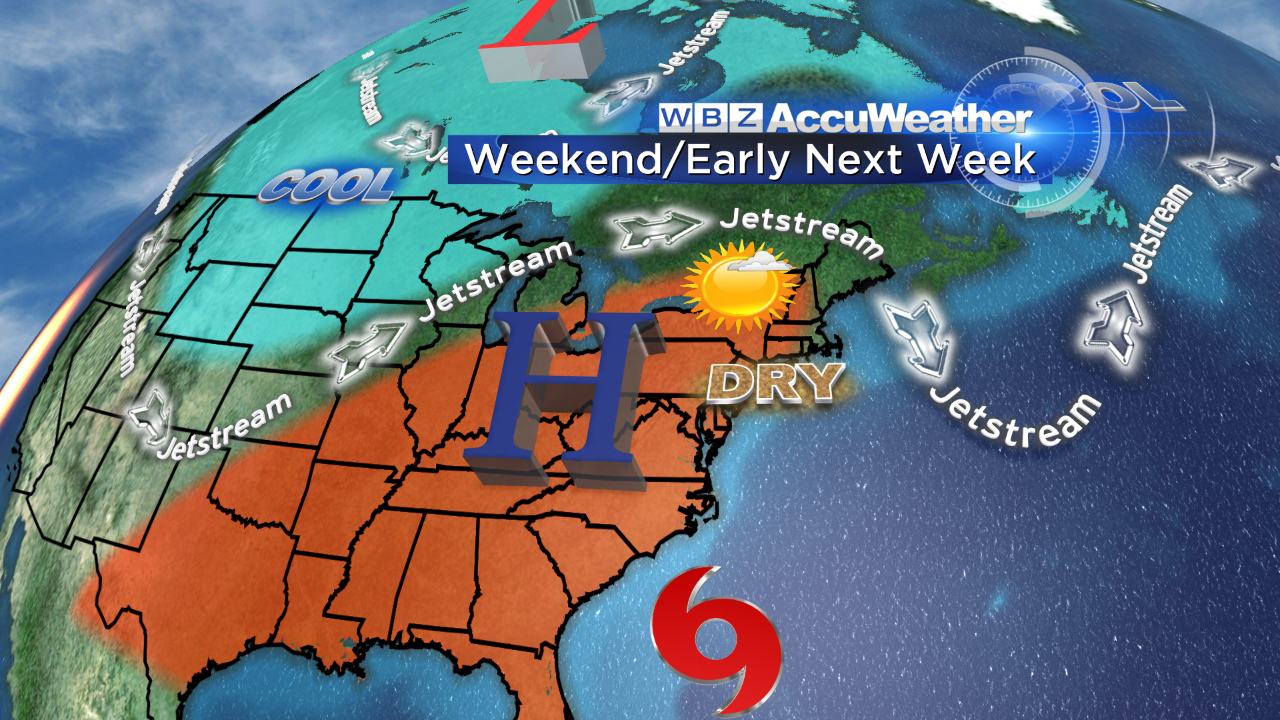 There will be a cold frontal passage timed for late Wednesday night or Thursday morning. It will set off some scattered showers and storms over northern New England Wednesday afternoon and some of that activity may rumble across southern sections Wednesday night so that's good news for our lawns and gardens. After a slight risk of a shower on Thursday, it will turn cooler at the end of the week as high pressure builds in and provides a northeasterly breeze. The next batch of showers and storms could arrive over the Labor Day Weekend with Sunday being the primary target. A week from today is the final day of meteorological summer! Can you believe it?
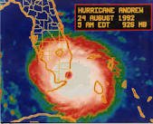
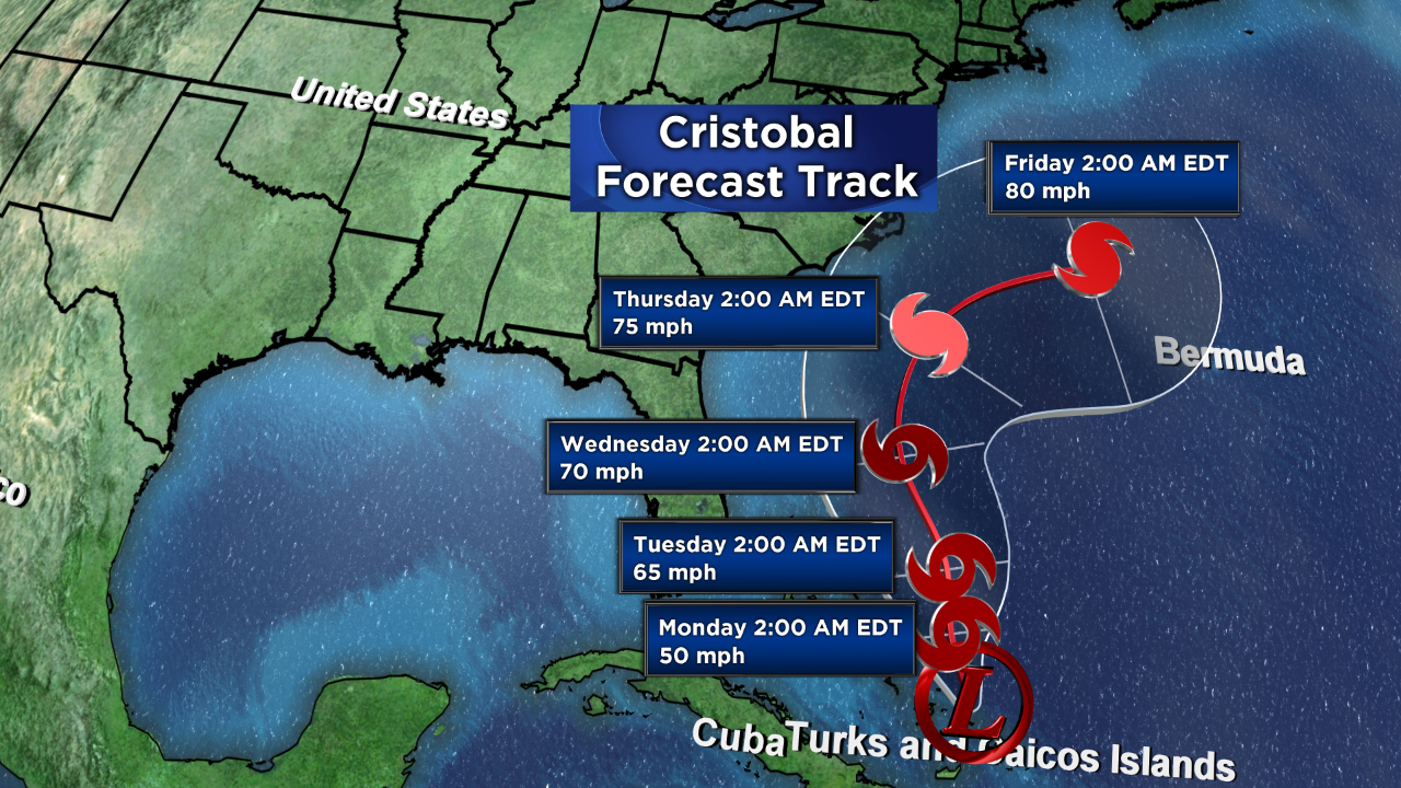
We'll be watching the blossoming of depression #4 into Tropical Storm Cristobal today. Most signs point to this storm eventually becoming a hurricane by later Wednesday or early Thursday as it tracks northwest then north. As the jetstream digs into the northern portion of the nation, a more westerly component should steer this cyclone out to sea well south of New England. So it is of interest but certainly of no concern. If all goes well, Cristobal will pass between the U.S. and Bermuda with main impacts being increasing surf and a higher risk of rip currents. We, of course, will continue to monitor its projected path closely in the days ahead. Twenty-two years ago today, massive Category 5 Hurricane Andrew pummeled southern Florida with maximum sustained winds of 165 mph!!!
You can watch my weathercasts on WBZ News through 9 o'clock this morning and again at 6:3o & 11 o'clock this evening.
Enjoy your Sunday!


